Fire Resource Library — Hawaii Wildfire Management Organization article header {display: none;}

Pablo Beimler

CWPP Overview Sheet

HWMO has helped develop Community Wildfire Protection Plan (CWPP) for most of the priority fire-prone regions of Hawaii. The plans assesses values at risk such as safety, natural resource protection, recreation, scenic values, and economic assets. Through a collaborative process involving input from community members, resource management and firefighting agencies, and a variety of other interested parties, CWPPs help bring wildfire hazard information and planning and action opportunities to all parties.

CWPP Small Group Facilitation Guide

Print-out providing a layout for small group collaboration during Community Wildfire Protection Plan (CWPP) Community Meetings.

Hawaii State Wildfire History Interactive Map - Geoportal

Hawaii State Wildfire History Interactive Map - Geoportal

The Hawaii State Wildfire History HWMO spearheaded comes to life in this interactive map, made possible by our friends at UH Manoa, College of Tropical Agriculture and Human Resources (CTAHR). Click around the map to locate wildfires that have occurred from 2002-2011 across the entire state and track down their sizes (acreage burned).

Hawaii Wildfire Interactive Webapp

The Hawaii Wildfire webapp visualizes wildfire data across Hawaii. It has four types of data: fire history, community hazard assessments, community input information, and census data.

CWPP Overview Sheet

HWMO has helped develop Community Wildfire Protection Plan (CWPP) for most of the priority fire-prone regions of Hawaii. The plans assesses values at risk such as safety, natural resource protection, recreation, scenic values, and economic assets. Through a collaborative process involving input from community members, resource management and firefighting agencies, and a variety of other interested parties, CWPPs help bring wildfire hazard information and planning and action opportunities to all parties.

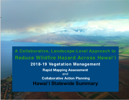
2018-19 Rapid Assessment of Vegetation Management Results

Hawaii+Island+Kailapa+Vegetative+Fuels+Management+Collaborative+Action+Planning+Workshop_2_26_2019_20.jpg

In Hawaii, wildfire has devastating impacts on our communities and native ecosystems. With land use and climate changes, wildfire is a significant and growing hazard in many places across Hawaii. 

Research in wildfire science shows that vegetation is a key ingredient in the recipe for recurring wildfire. Vegetation management is essential for wildfire hazard mitigation strategies that:

  • reduce wildfire hazard;

  • create safer conditions for firefighters; and

  • serve as key climate adaptation strategies for our communities, economies and environment.  

Fire follows fuel and the impacts do not abide by property boundaries. Therefore, reducing wildfire hazard is a landscape-level issue that we need to collaboratively tackle together to create safer and more wildfire resilient communities.

In 2015, HWMO’s Technical Advisory Committee, comprised of more than 35 fire and natural resource experts from across the state, discussed Hawaii’s lack of consolidated landscape-level information on vegetative fire fuels treatments. 

To start to fill the gap, HWMO conducted a Rapid Mapping Assessment and facilitated Collaborative Action Planning on Vegetation Management in 2018-19 to:

  • Better understand all of the important hazard reduction already happening by diverse land managers;

  • Identify and prioritize actions that address the island-wide fire issue to optimize expenditures and efforts and maximize protection at the landscape-scale;

  • To kick-start collaboration, information sharing, and integrate fire-thinking into current activities to address the cross-boundary fire risk.

We thank State Division of Forestry and Wildlife, University of Hawaiʻi CTAHR Cooperative Extension, and Pacific Fire Exchange for their collaborative support on this project. Funding was provided by Hawaiʻi State Grant-in-Aid Program, 2016, and the U.S. Forest Service, Pacific Southwest Region, under the terms of Grant No. 16-11052012-146 and No. 17-DG-11052012-143. USDA is an equal opportunity provider and employer.

We also thank the many mapping participants, workshop attendees, and survey respondents who made this all possible!

The summary results of the Rapid Mapping Assessment and Collaborative Action Planning can be found below.

"Four Friends of Fire" Video

Screen Shot 2019-04-30 at 8.30.20 AM.png

A short PSA with animated characters to educate people about the four key elements that dictate fire behavior universally.

If we're going to live with fire, we'd better get to know it. In this first installment of the series, we meet four key drivers of bushfire risk. With thanks to the University of Wollongong, the University of Melbourne, Rockshelf Productions and David Shooter.

Firewise Guide to Landscape and Construction

This brief brochure provides a useful guide to landscaping and home construction/renovation with the major goal of reducing fuels. We also have a number of copies in our office. Contact us if you're interested in obtaining a free copy!

Building a Wildfire Resistant Home: Codes and Costs

“A new home built to wildfire-resistant codes can be constructed for roughly the same cost as a typical home.” -Headwaters Economics

Screen Shot 2020-10-01 at 12.16.33 PM.png

This paper by headwaters Economics illustrates the ways that constructing a wildfire resistant home can actually be comparable to the cost of constructing a home that is not wildfire resistant. If you are looking at building a home, or remodeling your current building, consider reading through this guide to learn how to reduce your risk of wildfire devastation.

From the source:

“This study finds negligible cost differences between a typical home and a home constructed using wildfire-resistant materials and design features.”

Powered by Squarespace