Kauai

Kauai Vegetative Fuels Management Collaborative Action Planning Workshop

Thank you to everyone who joined us!

Thank you to everyone who joined us!

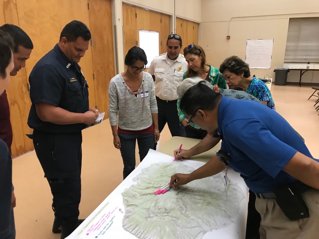
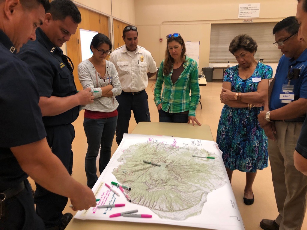
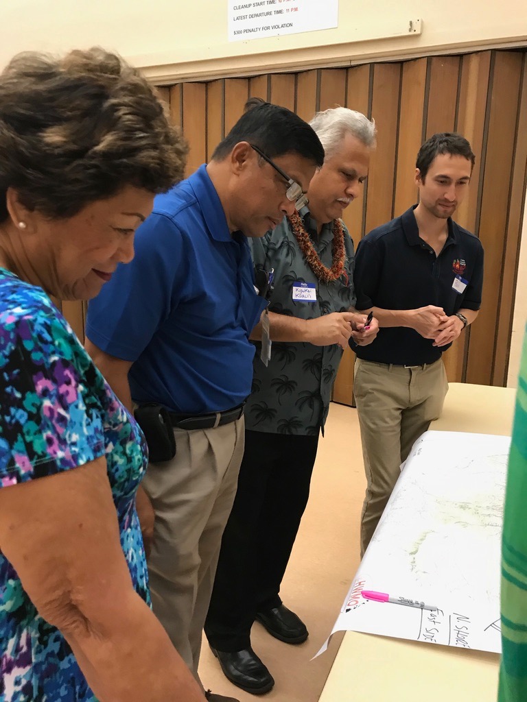
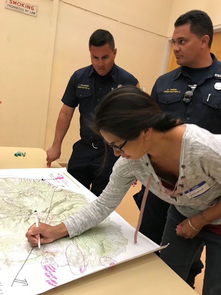
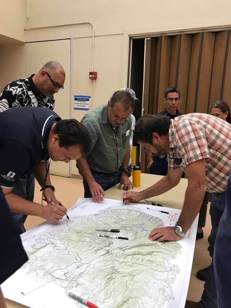
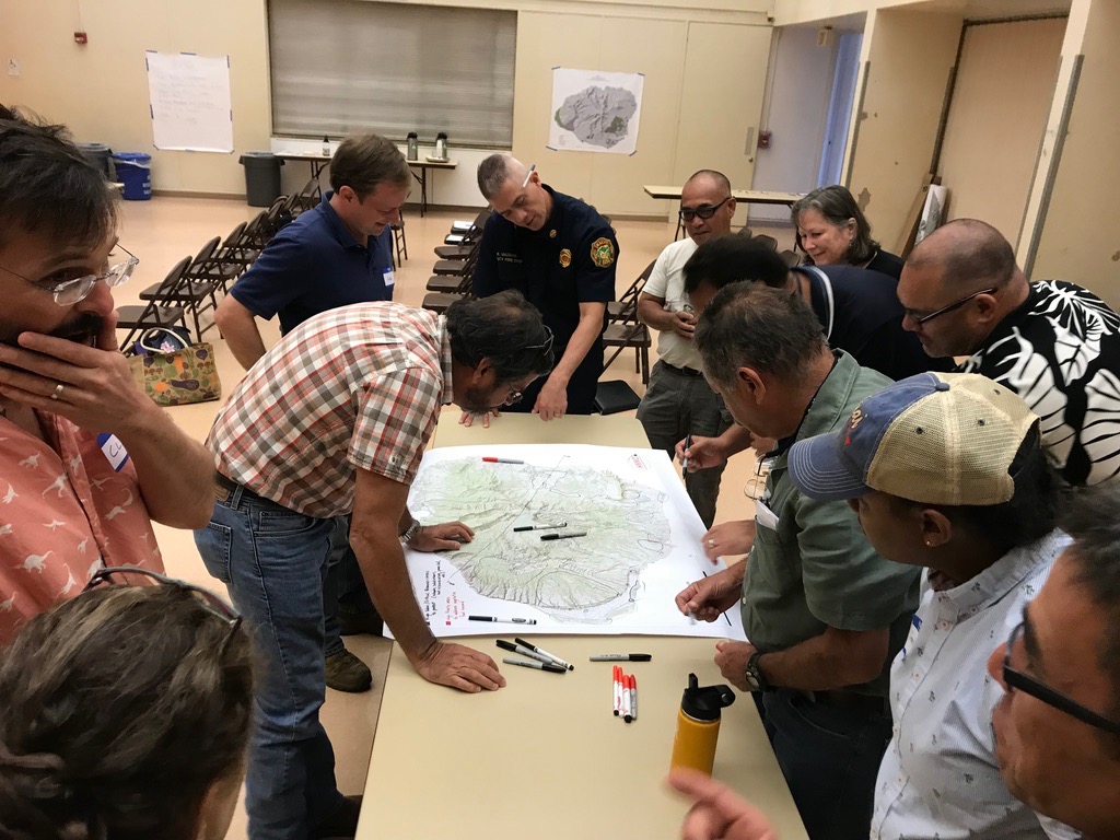
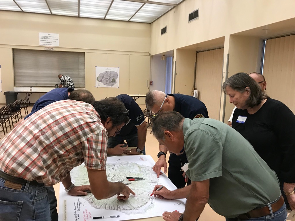
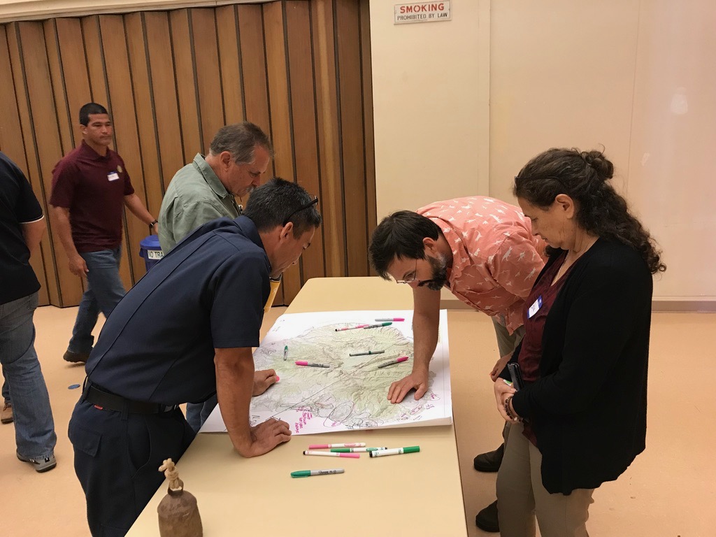
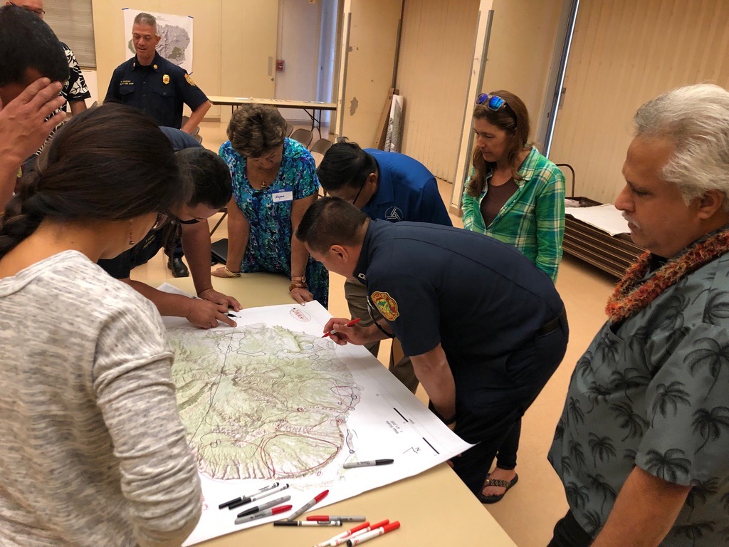
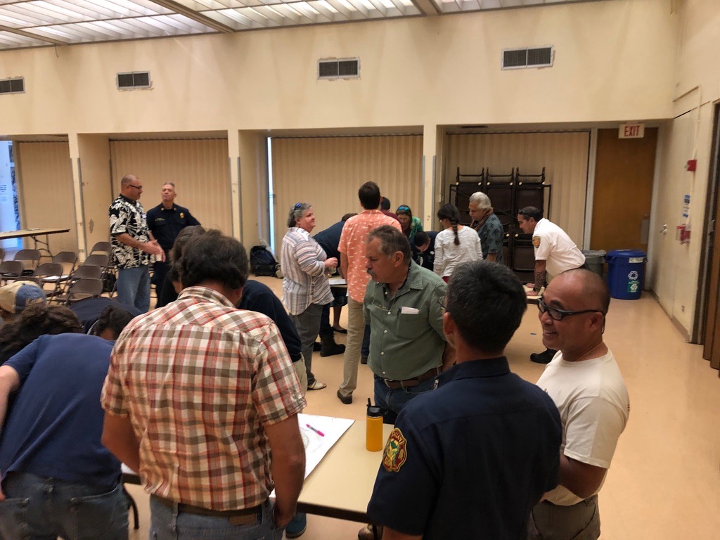
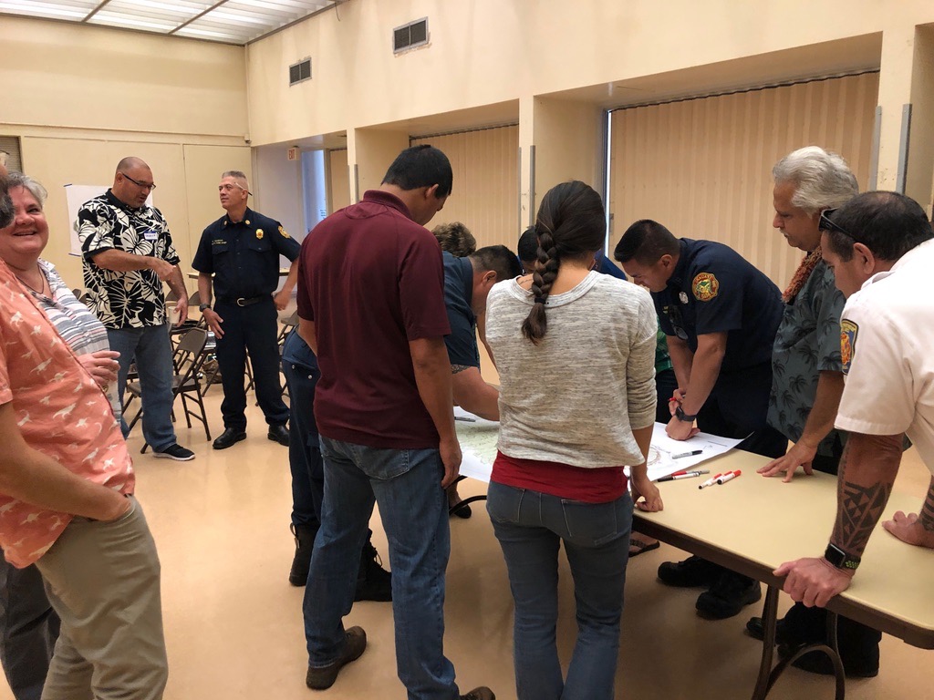
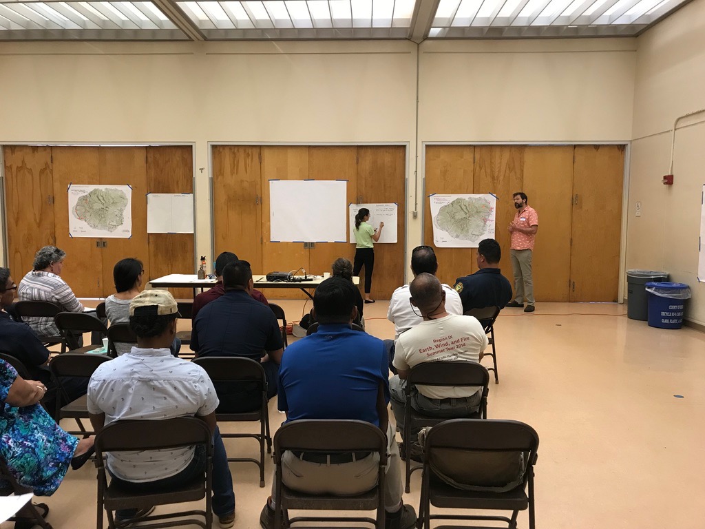
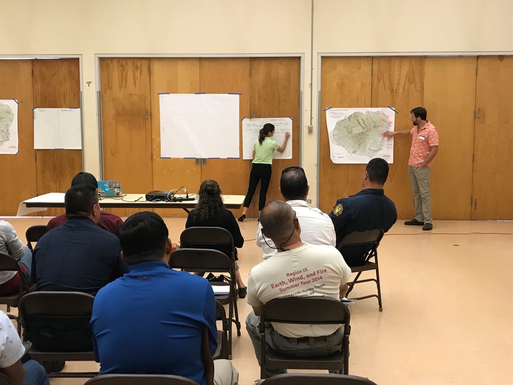
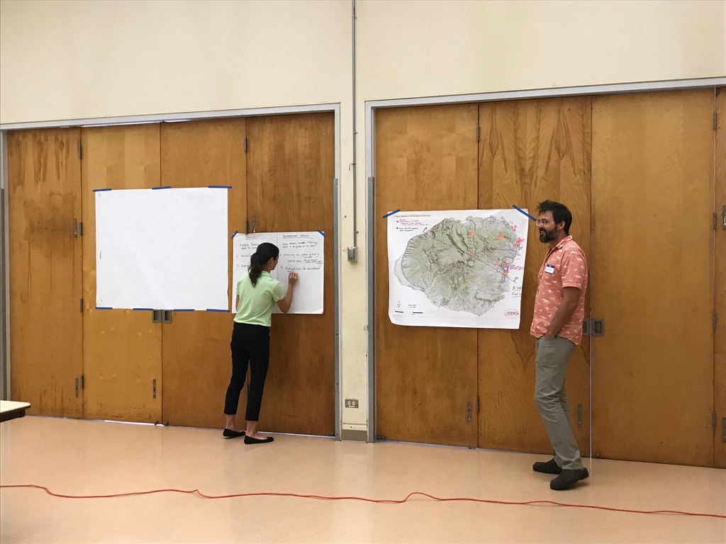
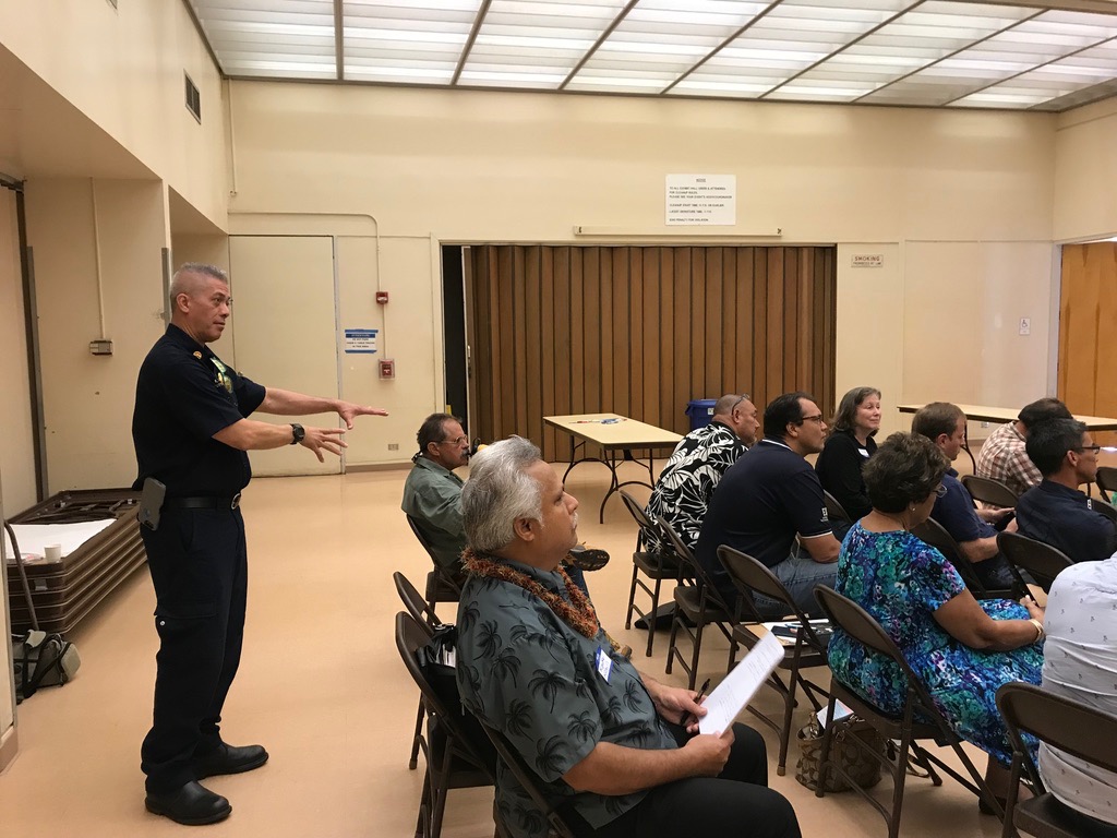
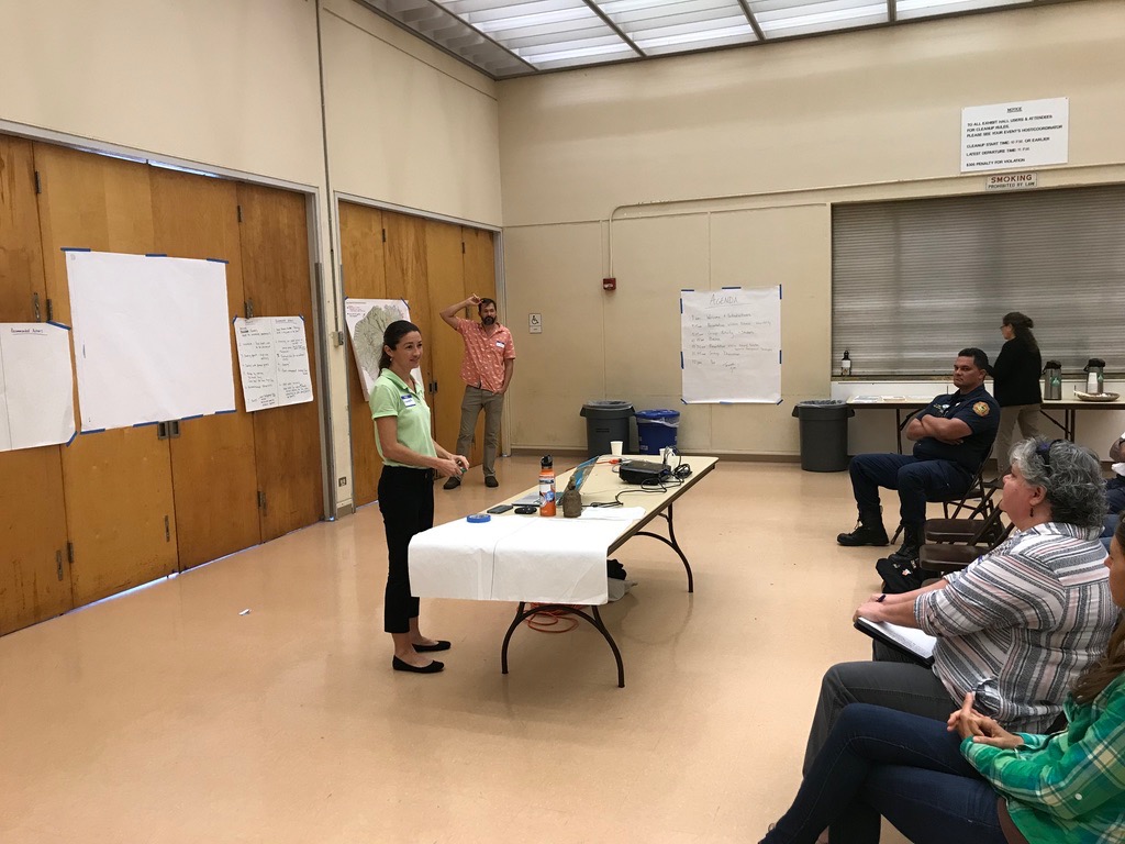
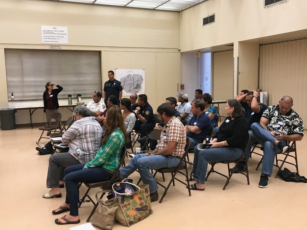
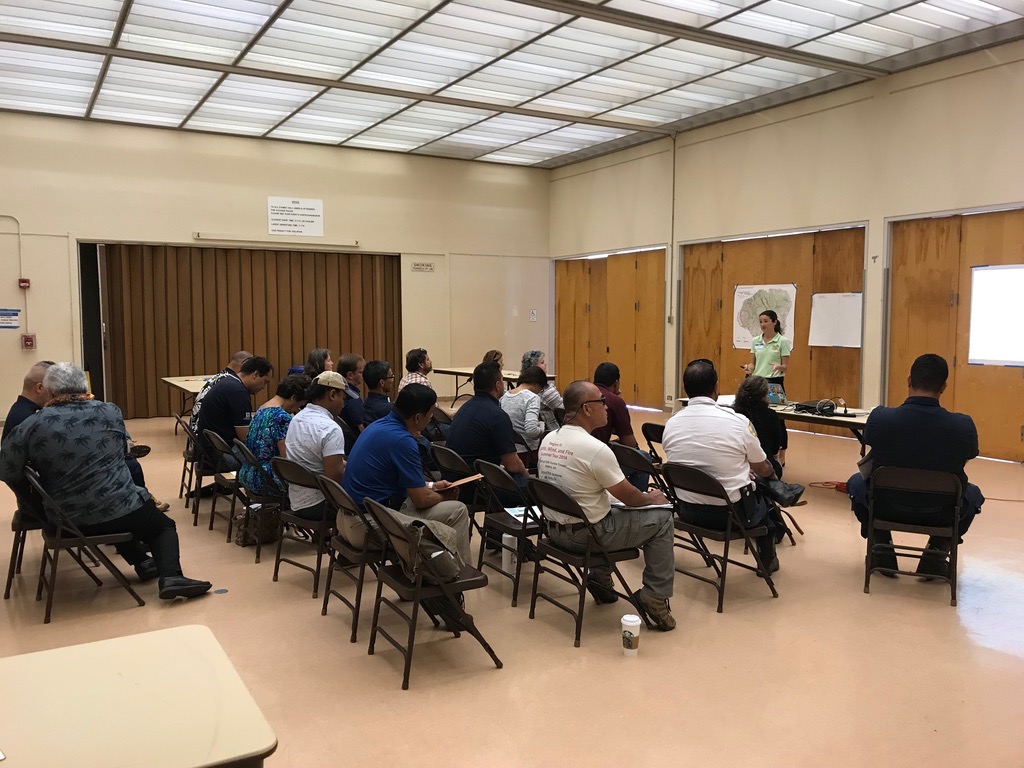
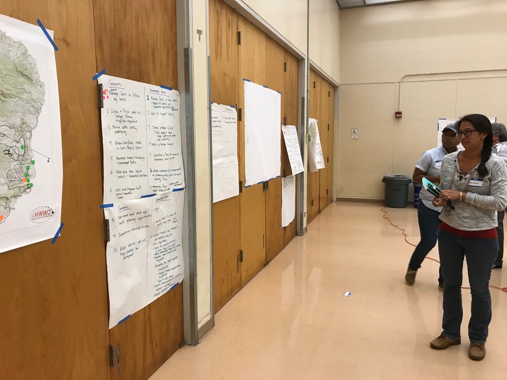
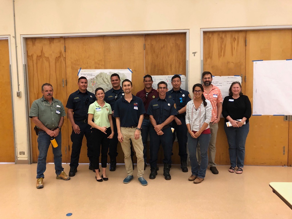
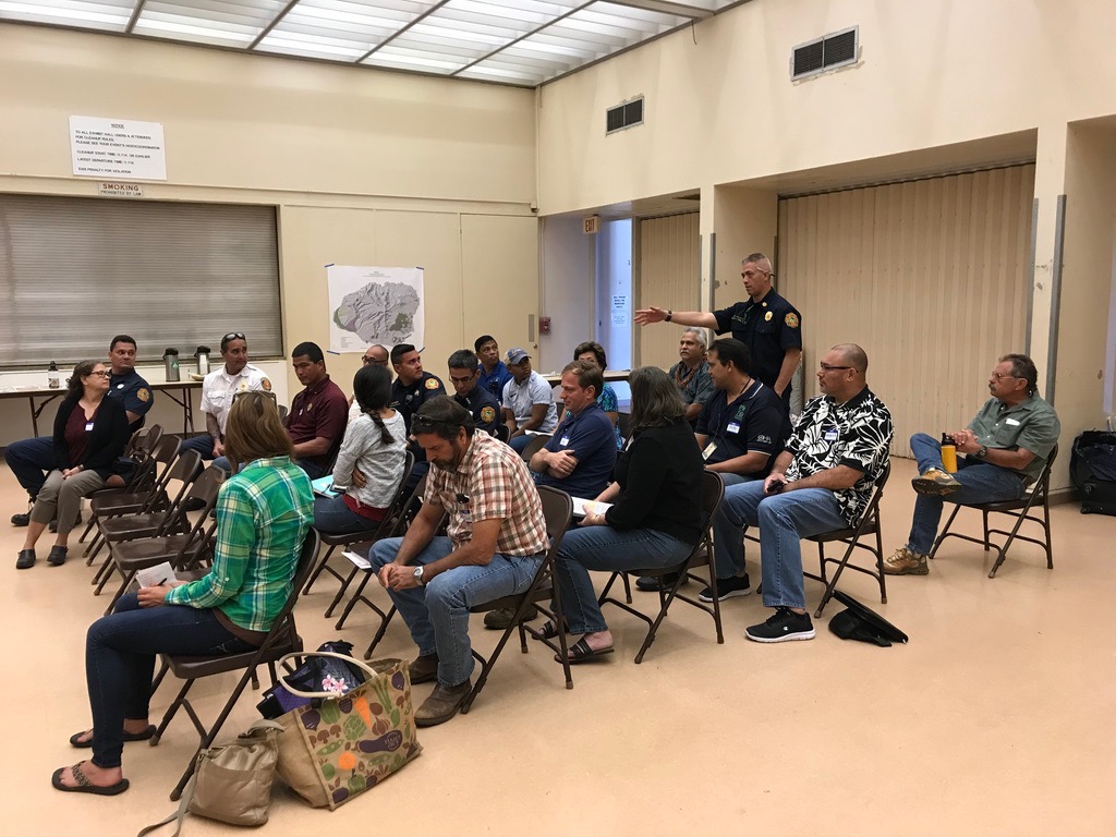
Fire follows fuel. On February 21 at the War Memorial Convention Hall in Lihue, we convened a large group of 23 people on Kauai representing a patchwork of different agencies, groups, and organizations across a variety of fields to come together to plan for collaborative, large-scale vegetation management to reduce wildfire risks throughout the island. This was part of a series of workshops on Oahu, Kauai, and Hawaii Island we held in February on this matter (we had a similar meeting on Maui in 2018).

During the workshop, participants:

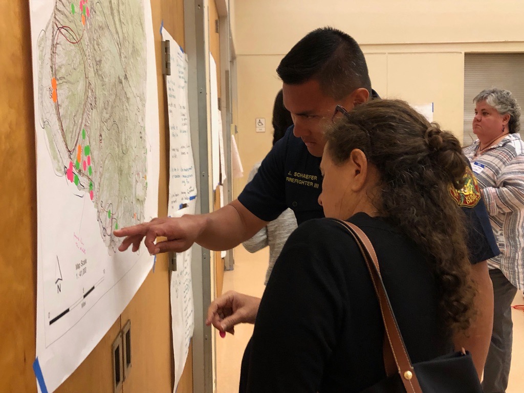
  • Checked out the results of recent efforts to map current management of hazardous vegetative fuels (thanks to all of the information that partners contributed).

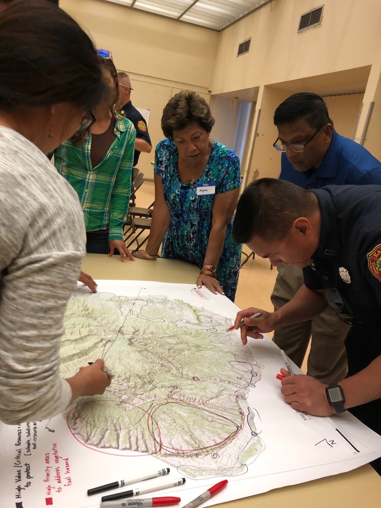
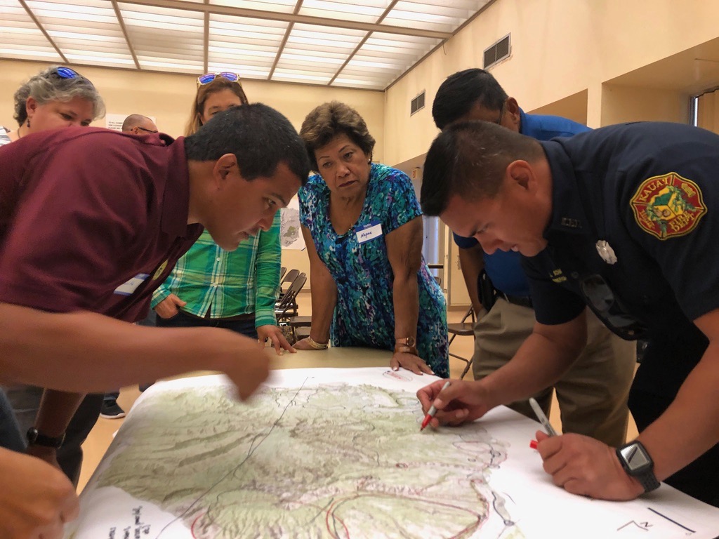
  • Identified and discussed shared regional fuels management priorities to mitigate the risks of wildfire across our island landscapes through a facilitated series of small and large group conversations.

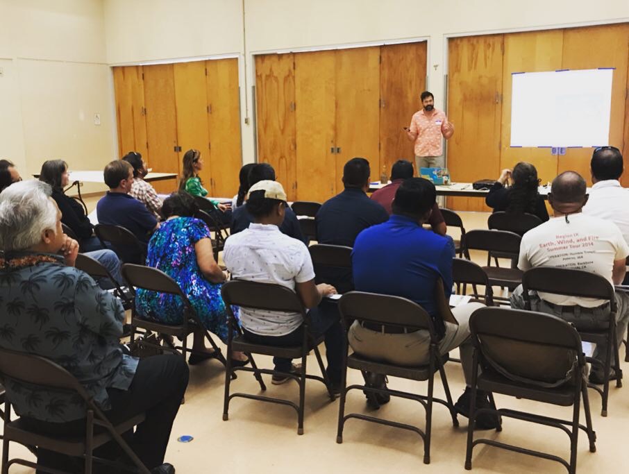
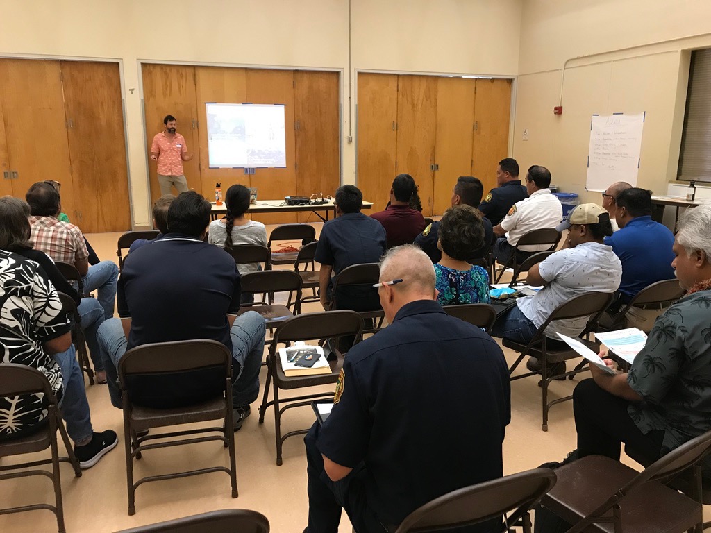
Dr. Clay Trauernicht presenting on fuels management strategies.

Dr. Clay Trauernicht presenting on fuels management strategies.

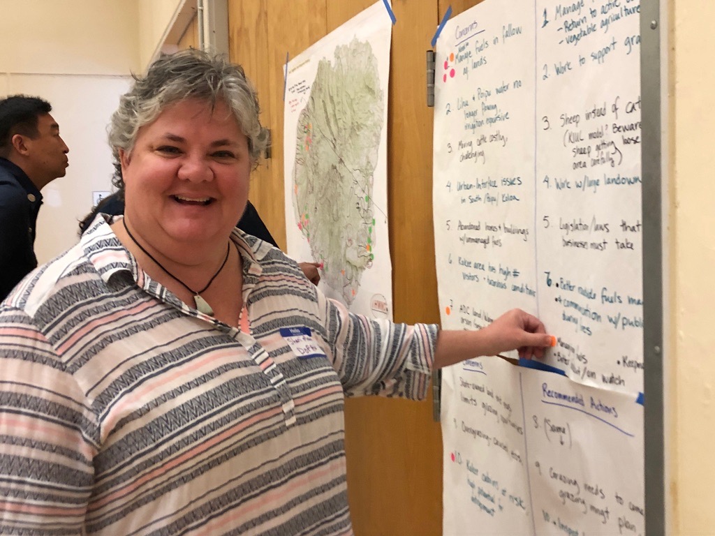
Voting for priority project ideas.

Voting for priority project ideas.

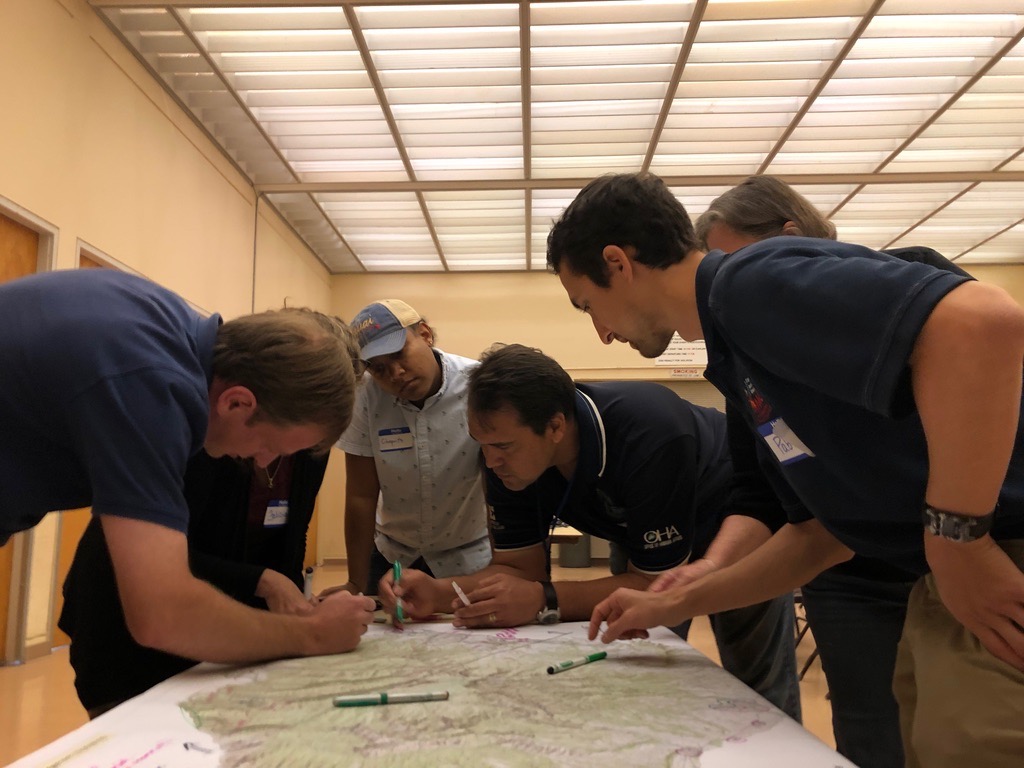
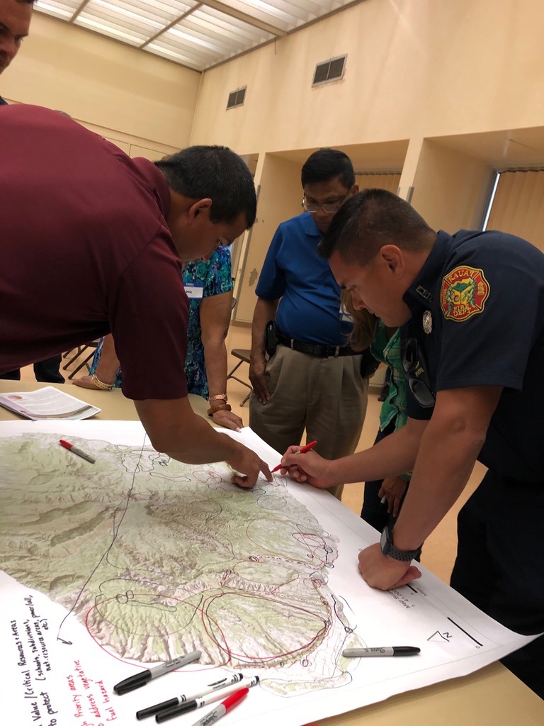
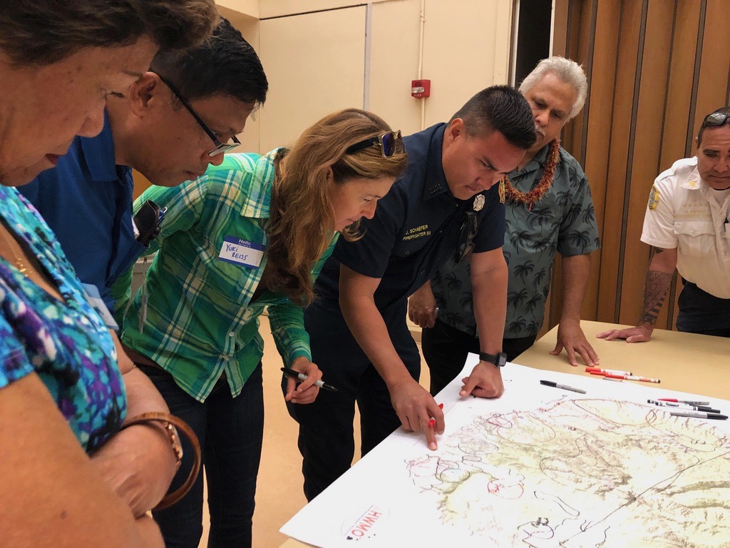
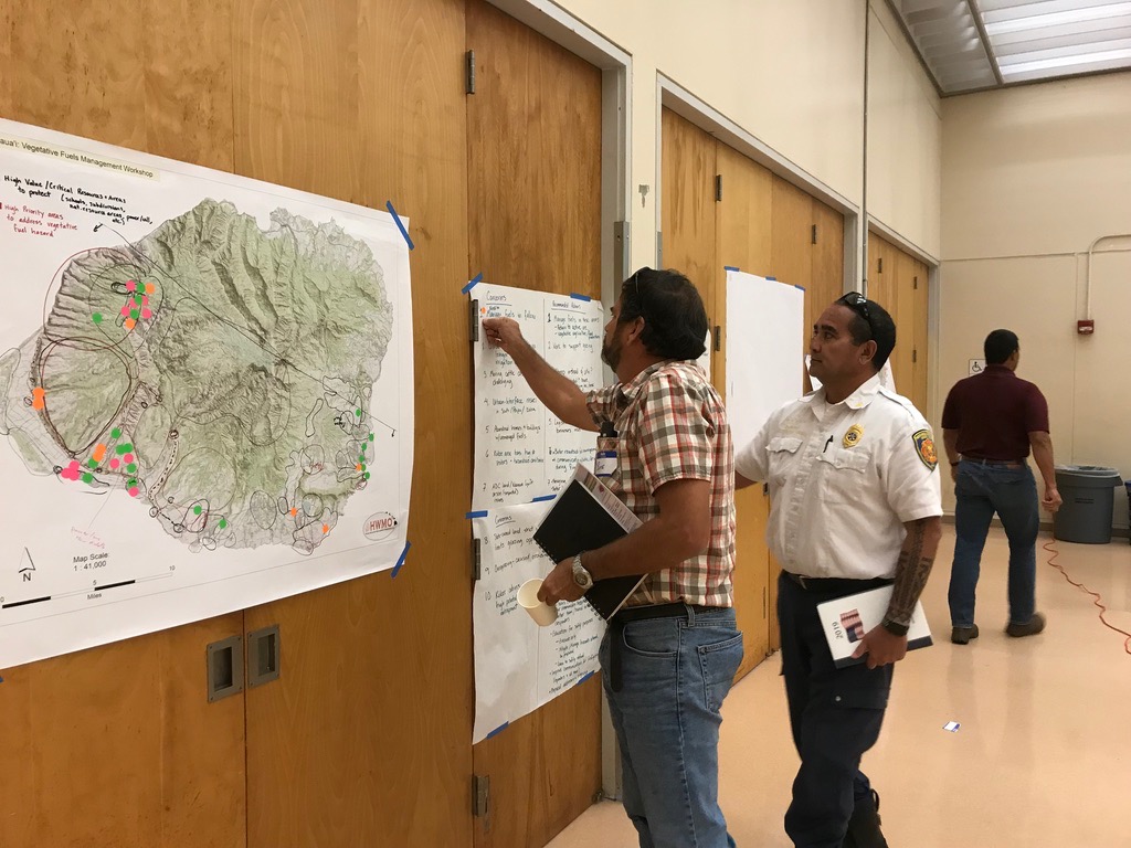
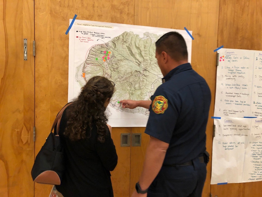
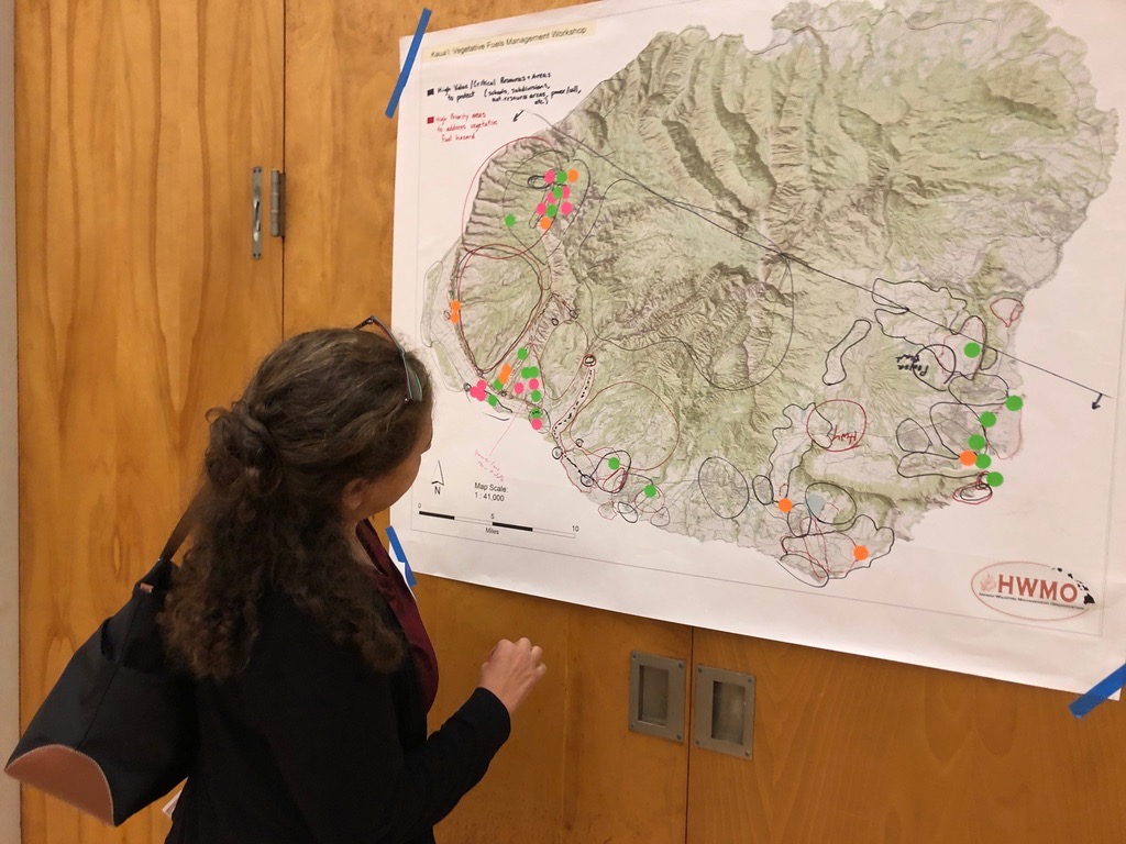
Marking values at risk and areas for fuels treatments.

Marking values at risk and areas for fuels treatments.

The knowledge and priorities of the participants will contribute to planning next steps in the ongoing collaboration to manage vegetative fuels to reduce wildfire and protect our communities and natural resources.

We are all in this together and it takes all of us!

Stay tuned via our website, social media, and e-newsletter (sign up at the bottom of this page) for final project-related products before this summer.

Mahalo DOFAW, UH CTAHR Cooperative Extension / Pacific Fire Exchange for co-organizing with us.

Special thank you to Chief Kilipaki Vaughan of Kauai Fire Department, Chief Akiyama of Navy PMRF and Councilmembers Kipukai Kualiʻi and Felicia Cowden for joining us and supporting this important work.
Kauai Vegetative Fuels Management Mapping Meetings

Prevent wildfires Smokey Bear sign in Waimea Canyon.

Prevent wildfires Smokey Bear sign in Waimea Canyon.

As a hub of wildfire protection efforts across the Hawaiian Islands, we are always looking for ways to bring people together to solve some of our most complex wicked problems. The Hawaiian Islands have been struggling with invasive species spread for decades, but now we are seeing what happens when invasive flammable plants take over the landscape and allow fires to spread more quickly and over larger areas. By controlling or managing flammable vegetation at the landscape-level, we can make great strides towards reducing the wildfire risk on our islands.

That’s why HWMO is coordinating a statewide vegetative fuels management mapping project — a rapid assessment to understand the vegetation management needs and priorities of landowners and land managers throughout the Hawaiian Islands. DLNR Division of Forestry and Wildlife and University of Hawaii CTAHR Cooperative Extension are key partners in the effort.

The vision for the project is that the resulting maps will lead to 1) better prioritization and communication of vegetative fuels management on the landscape-scale and 2) enhance project coordination between organizations and funding opportunities.

On November 20, we linked up with DOFAW and Grove Farm on Kauai for meetings to map current and desired vegetation management activities. Activities could include any vegetation reduction or conversion projects such as roadside mowing, fuelbreaks, grazing rotations, clearing around structures or power poles, brush abatement or thinning, tree trimming, loi restoration, agriculture, and native forest restoration.

Oahu Vegetative Fuels Management Mapping Meetings

Overgrown flammable vegetation along roadsides in Makaha.

Overgrown flammable vegetation along roadsides in Makaha.

As a hub of wildfire protection efforts across the Hawaiian Islands, we are always looking for ways to bring people together to solve some of our most complex wicked problems. The Hawaiian Islands have been struggling with invasive species spread for decades, but now we are seeing what happens when invasive flammable plants take over the landscape and allow fires to spread more quickly and over larger areas. By controlling or managing flammable vegetation at the landscape-level, we can make great strides towards reducing the wildfire risk on our islands.

That’s why HWMO is coordinating a statewide vegetative fuels management mapping project — a rapid assessment to understand the vegetation management needs and priorities of landowners and land managers throughout the Hawaiian Islands. DLNR Division of Forestry and Wildlife and University of Hawaii CTAHR Cooperative Extension are key partners in the effort.

The vision for the project is that the resulting maps will lead to 1) better prioritization and communication of vegetative fuels management on the landscape-scale and 2) enhance project coordination between organizations and funding opportunities.

On October 18 and 19, Pablo Akira Beimler and Lele Kimball traveled to Oahu to meet with a variety of different large landowners to map current and desired vegetation management activities occurring on Oahu and Kauai. Activities could include any vegetation reduction or conversion projects such as roadside mowing, fuelbreaks, grazing rotations, clearing around structures or power poles, brush abatement or thinning, tree trimming, loi restoration, agriculture, and native forest restoration. Mahalo to State Parks, Olson Trust, Agriculture Development Corp., DHHL, Honolulu County Facilities Maintenance, and Dillingham Ranch for taking time to meet with us for this very important project!

Kauai Vegetative Fuels Management Mapping Workshop with KAA

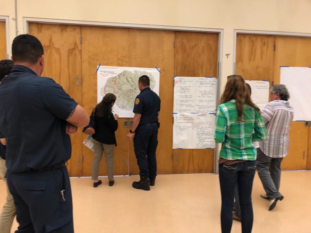
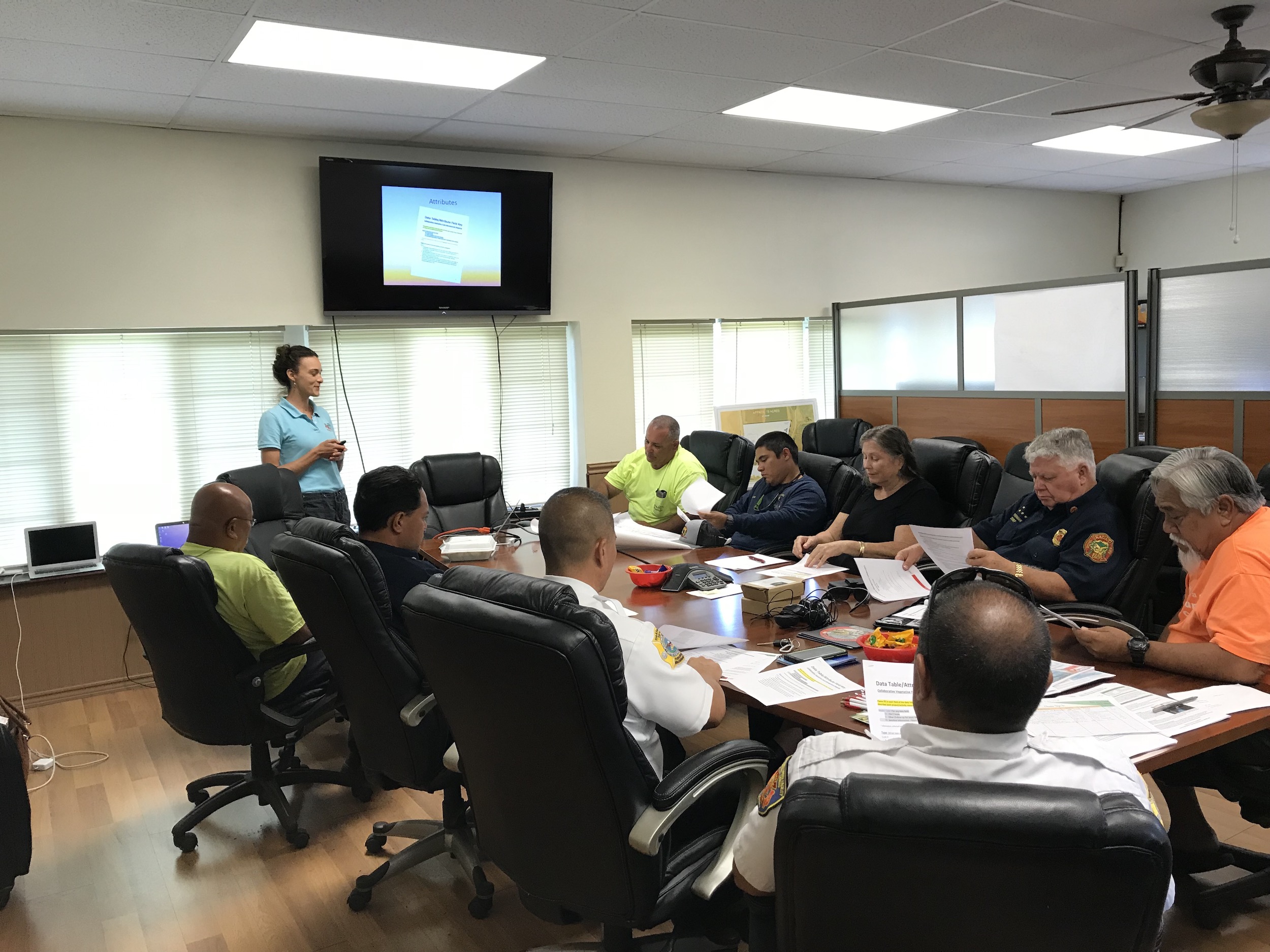
Mapping with KAA members, Navy, and Kauai Fire Department on the west side of Kauai.

Mapping with KAA members, Navy, and Kauai Fire Department on the west side of Kauai.

As a hub of wildfire protection efforts across the Hawaiian Islands, we are always looking for ways to bring people together to solve some of our most complex wicked problems. The Hawaiian Islands have been struggling with invasive species spread for decades, but now we are seeing what happens when invasive flammable plants take over the landscape and allow fires to spread more quickly and over larger areas. By controlling or managing flammable vegetation at the landscape-level, we can make great strides towards reducing the wildfire risk on our islands.

That’s why HWMO is coordinating a statewide vegetative fuels management mapping project — a rapid assessment to understand the vegetation management needs and priorities of landowners and land managers throughout the Hawaiian Islands. DLNR Division of Forestry and Wildlife and University of Hawaii CTAHR Cooperative Extension are key partners in the effort.

The vision for the project is that the resulting maps will lead to 1) better prioritization and communication of vegetative fuels management on the landscape-scale and 2) enhance project coordination between organizations and funding opportunities.

On September 26, we partnered with Kekaha Agriculture Association for a workshop to map current and desired vegetation management activities in Kekaha on the west side of Kauai (where most of the island’s most devastating wildfires have occurred). Activities could include any vegetation reduction or conversion projects such as roadside mowing, fuelbreaks, grazing rotations, clearing around structures or power poles, brush abatement or thinning, tree trimming, loi restoration, agriculture, and native forest restoration. Mahalo KAA for hosting the workshop and for participating in this critical project!

Kauai KAA Vegetative Fuels Management Mapping Workshop 9/26/18

Annual Kauai Brushfire Meeting 2018

For this year’s annual Kauai Brushfire Meeting, HWMO’s Executive Director, Elizabeth Pickett, flew to Kauai and joined a room full of first responders (including Chief Robert Westerman), other agency officials, and land managers to share updates and plans for the coming months in preparation for wildfires. Kauai may be the Garden Island, but wildfires are a frequent occurrence on the island during drier periods and especially during droughts, which are predicted to be a possibility in the beginning of 2019.

Kauai Brushfire Meeting brings together government, NGO, and local business representatives together to keep each other updated on the latest wildfire news and management projects. Photos are from the 2016 meeting.

Kauai Brushfire Meeting brings together government, NGO, and local business representatives together to keep each other updated on the latest wildfire news and management projects. Photos are from the 2016 meeting.

Hawaii Wildfire Summit 2018

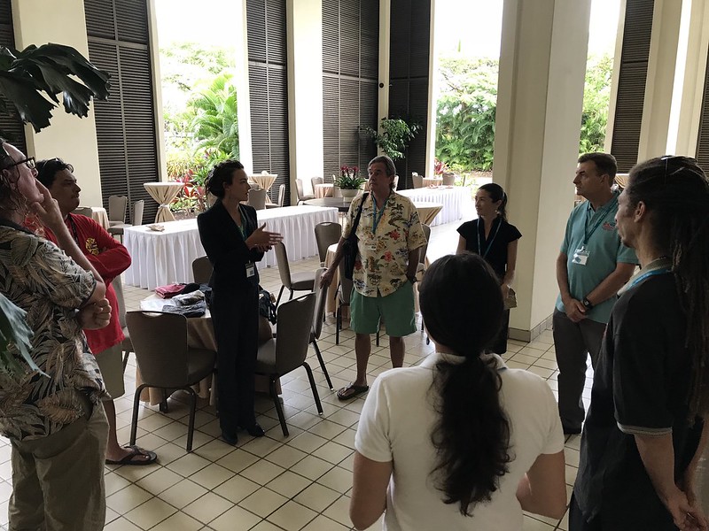
Over the years, HWMO has come to understand that wildfire-related challenges are faced by a wide array of professionals and citizens, including more than just those focused on emergency response. HWMO, through a grant from the U.S. Forest Service, held the first ever Hawaii Wildfire Summit between April 30 and May 4 at the Mauna Lani Bay Hotel & Bungalows to bring together not just fire professionals, but people working in riparian and marine conservation, cultural resource protection, the visitor industry, planning professionals, and community groups from across Hawaii, the Western Pacific, and the rest of the U.S.
 

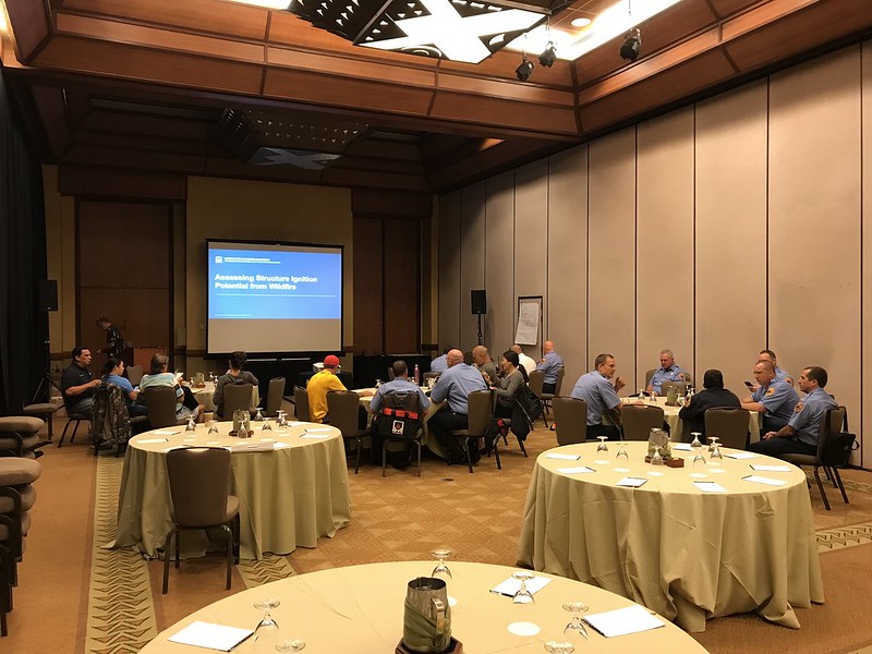
Pre-Summit: NFPA Assessing Structural Ignition Potential for Wildfire Course

The first two days were dedicated to the NFPA course on Assessing Structural Ignition Potential from Wildfire. Participants included firefighters, land managers, and homeowners who learned the ins and outs of fire and its interaction with the built environment. Wildland fire expert, Pat Durland, who traveled from the mainland to teach the course, also shared valuable information on the latest research for improving the survivability of a home during a wildfire.

Hawaii Wildfire Summit 2018 - NFPA ASIP Training
Hawaii Wildfire Summit 2018 - Lei Making Party 5/1/18


Summit Main Event

The main event began on Wednesday, May 2, kicking off two days packed with presentations and workshops from over 40 speakers, including our two keynote speakers, Gloria Edwards of Southern Rockies Fire Science Network and Dr. Steve Quarles of the Insurance Institute for Business & Home Safety. A wealth of knowledge was shared throughout the summit by these speakers with the diverse audience. Speakers highlighted lessons learned, best practices and innovations in wildfire protection. Check out the list of speakers and their bios by clicking the buttons below.

Hawaii Wildfire Summit 2018 - Summit Day 1 5/2/18
Hawaii Wildfire Summit 2018 - Summit Day 2 5/3/18

HWMO emphasized the importance of using creativity and outside-the-box thinking to get out of our comfort zones, a point that keynote speaker Gloria Edwards so eloquently urged in her presentation. To spur creativity and collaborative dialogue, HWMO encouraged participants to take part in several activities during the breaks and the first evening's meet-and-greet:

* A collaborative Summit to Sea art project
* A collaborative ideas sharing space
* Casting ballots for a statewide youth wildfire prevention bookmark contest. Submissions were from students at Kamaile Academy in Waianae and Kohala and Waikoloa Schools on Hawaii Island. 


Smokin' Word


To cap off the event and to further encourage participants to use their creativity and get out of their comfort zones, we held a "Smokin' Word" open mic. Various brave volunteers, from local fire chiefs to representatives from national programs, gave spoken word performances about "why we do what we do, what we are aiming to protect, and to ignite applause and laughter." We were extremely pleased to see our colleagues dig into their creative space and shake off some nerves to share their great pieces. Professional spoken word artist (and HWMO Community Outreach Coordinator), Pablo Akira Beimler, rounded out the open mic with a performance of his poem in tribute to the summit and all of the inspiring work happening by the people in the room to make Hawaii a better, safer place to live. 

We also had a great turnout of Firewise Community members from Hawaii Island and Maui-- almost all Firewise Communities in Hawaii were represented! Firewise committee members Lisa Chu-Thielbar (Kanehoa), Gordon Firestein (Launiupoko), and Diane Makaala Kanealii (Honokoa) presented lessons learned and background about their Firewise efforts during the general session on the 2nd day. We had a Firewise gathering at the end of the 2nd day where participants played "get to know you bingo" to frantically and comically break the ice. From this point onward, HWMO is committed to forming a statewide peer learning network between all of the Firewise Communities. 

Hawaii Wildfire Summit 2018 - Post-Summit Activities


Field Workshop


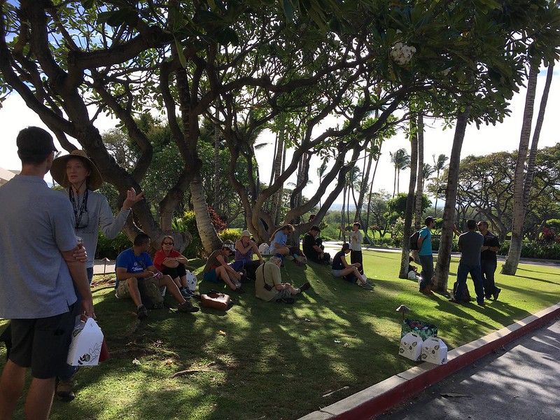
On the final day of the summit, a large group of the summit attendees hopped aboard vehicles to caravan around the South Kohala area to visualize much of what was discussed indoors at the Mauna Lani. The Pacific Fire Exchange field workshop began at the Upper Waikoloa Road Intersection to ground the participants in a sense of place and seeing a landscape-level view of the summit-to-sea watersheds of South Kohala. Then, it was on to Wai Ulaula Waimea Nature Park, where participants learned about watershed planning and about the local native forest. The following stop helped participants understand the wildfire threat that threatens the native forests and the subsequent post-fire flooding that has vastly impacted Hawaii's shorelines. What better place to talk about wildfire than in Kawaihae, where the 2014 wildfire burned thousands of acres and threatened many homes, burned millions of dollars of timber, and post-fire flooding shut down businesses and impacted the livelihoods of local residents. Representatives from Hawaii County Fire Department and National Park Service shared their lessons learned from responding to the massive fire. 

After lunch with a beautiful view of the South Kohala Coastline and a jolt from an earthquake in Kilauea, the group walked to the Puu Kohola Heiau visitor center to learn the history of the sacred site. The group then walked along a trail to learn more about the conditions that are ripe for wildfire in Kawaihae. They continued walking down to Pelekane Bay, the site of intense post-fire runoff and coral reef decay. 

The field workshop ended in Puako where Peter Hackstedde shared about the community's efforts to create a large fuelbreak behind homes and their recent Firewise Community recognition efforts. Paniau was the final stop and a nice place to wrap-up the summit to sea discussion. Some workshop participants stayed for a snorkel tour of the reef. 

Great job, Melissa Kunz, on coordinating such a smooth, exciting, and informative field workshop!

Hawaii Wildfire Summit 2018 - Field Workshop 5/4/18


Here is a thank you letter from our Executive Director, Elizabeth Pickett, to the summit participants:

Screen Shot 2018-05-30 at 11.14.56 AM.png
Screen Shot 2018-05-30 at 11.15.25 AM.png

Kauai Watershed Alliance Presentation

Flammable fuels on Kauai.

Flammable fuels on Kauai.

On April 12th in Lihue on Kauai, Pablo Akira Beimler, HWMO’s Community Outreach Coordinator, gave a presentation to the Kauai Watershed Alliance. The KWA is a multi-partner alliance that encompasses 144,004 acres of Kauai’s uppermost watershed areas, where there are rich remnants of native forest important to the health of the Garden Island. Pablo introduced the group to an important effort that HWMO was working on and invited KWA members to be a part of the effort. What’s the effort? We are conducting a statewide rapid assessment to better understand the vegetation management needs and priorities of landowners and land managers. This will help all of us plan, coordinate, and implement effective fuels management projects at the landscape-level, rather than in a piece-meal fashion.

Wildfire Lookout! Statewide School Distribution

In what may be one of HWMO’s most ambitious efforts, we set out to distribute as many Wildfire Lookout! flyers to as many schools as we could on the leeward sides of each of the major islands in Hawaiʻi. With boxes upon boxes of Wildfire Lookout! flyers stuffed into suitcases, HWMO’s Elizabeth Pickett and Pablo Beimler visited over 50 schools on Kauaʻi, Maui, Oʻahu, and Hawaiʻi Island from May 22-24 and distributed a total of nearly 25,000 flyers. Those flyers were included in students’ final take-home packets before the summer (and peak fire season) begun.

The outreach push was made possible thanks to Grant-In-Aid from the State and was another highlight of Wildfire Preparedness Month this year. Thank you to all of the schools’ staff for helping distribute flyers to students (some schools posted the flyers in the office, library, cafeteria, or other common spaces). 

Banner photo: Waimea Canyon school with recent wildfire-scarred area in background.

Wildfire Lookout! Statewide School Distribution May 2017

Wildfire Readiness Presentation with Rotary Club of West Kauaʻi

HWMO continued its tour to meet various Rotary Clubs across the state this year on Kauaʻi. At the Saddle Room Restaurant in Waimea Canyon, we presented to a group of twelve Rotarians from the Rotary Club of West Kauaʻi on May 23. As a matter of happenstance, there had been a large wildfire in Waimea Canyon a week or so before the presentation, so residents in the area were already on high alert.

May 2017 Waimea Canyon fire aftermath.

May 2017 Waimea Canyon fire aftermath.

We started by hearing stories from various residents who had witnessed the fire (and one who was even a responder from a contracting company that works in the area). We then shared information on how residents could get more involved with HWMO and prepare for peak fire season — information we have been working hard to spread throughout the month of May as part of Wildfire Preparedness Month. Each Rotarian at the meeting took home a Ready Set Go! Guide and Wildfire Lookout! flyer. We thank Rotary Club of West Kauaʻi for the opportunity to speak at their meeting!

Kauaʻi Annual Brush Fire Mitigation Meeting 2017

Each year, KFD invited first response partners and other stakeholders for a brush fire mitigation meeting. This from the 2016 meeting.

Each year, KFD invited first response partners and other stakeholders for a brush fire mitigation meeting. This from the 2016 meeting.

Every year, Kauai Fire Department hosts first response partners and other stakeholders on Kauaʻi for a Kauaʻi Brush Fire Mitigation Meeting. This year’s took place on May 22nd at the KFD headquarters in Lihue. HWMO’s Elizabeth Pickett gave updates on HWMO’s work in the area as our first response partners and large landowners and contractors listened in. In total, forty people were in attendance, each taking home a Ready Set Go! Wildland Fire Action Guide and Wildfire Lookout! flyer. We hope for a quiet fire season for Kauai Fire Department and our other friends on Kauaʻi. Another day, another great outreach opportunity for HWMO’s Wildfire Preparedness Month— this time thanks to KFD!