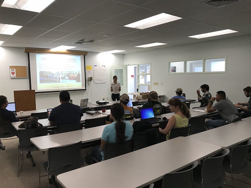
Mauna Kea partners were busy at work mapping fuels management projects on Google MyMaps.
Across the state, there are many vegetation management projects that are helping to reduce the fire threat around natural/cultural resources and near communities. However, there currently isn’t a way to track all of these projects and the desired areas for future management of flammable vegetation. Stemming from an idea communicated to us from an HWMO Technical Advisor and US Fish and Wildlife partner, Dawn Bruns, we have received US Forest Service funding to create a statewide database and map of vegetation management projects.
Meeting participants worked in groups to map their fuels management projects.
We held our first workshop with our partners from the Mauna Kea Watershed Alliance (MKWA) and Three Mountains Alliance (TMA) on January 30 at the Hawaii Innovation Center in Hilo. Elizabeth Pickett, HWMO Executive Director, started the workshop off with an introduction to the project, emphasizing how important this project will be for future collaborative fuels management projects. Dr. Clay Trauernicht, Wildfire Extension Specialist of University of Hawaiii CTAHR Cooperative Extension and Co-Coordinator of the Pacific Fire Exchange, gave a brief course on fire science and pre-fire planning and management. Pablo Akira Beimler, HWMO Community Outreach Coordinator, followed with a training on Google MyMaps, which was the main platform we used to collect data from meeting participants.
Cheyenne Perry, Coordinator of Mauna Kea Watershed Alliance, points out areas where he hopes there can be collaborative vegetation management projects on Mauna Kea.
For the rest of the workshop, meeting participants began mapping their current and desired vegetation management projects on Google MyMaps. Once the projects were mapped, we projected the new data onto a screen and had the groups share about their work areas and what they envision for a more fire-safe Mauna Kea.
HWMO will be spending the rest of the summer holding workshops across the islands. If you would like to participate, please contact admin@hawaiiwildfire.org.
Special mahalo to MKWA Coordinator, Cheyenne Perry, and TMA Coordinator, Colleen Cole, for being our first workshop partners. Mahalo also to Mauna Kea Forest Restoration Project and U.S. Army-Garrison for joining our workshop and being our workshop “guinea pigs”!


