Oahu (Central)

Oahu Vegetative Fuels Management Collaborative Action Planning Workshop

Thank you to everyone who joined us!

Thank you to everyone who joined us!

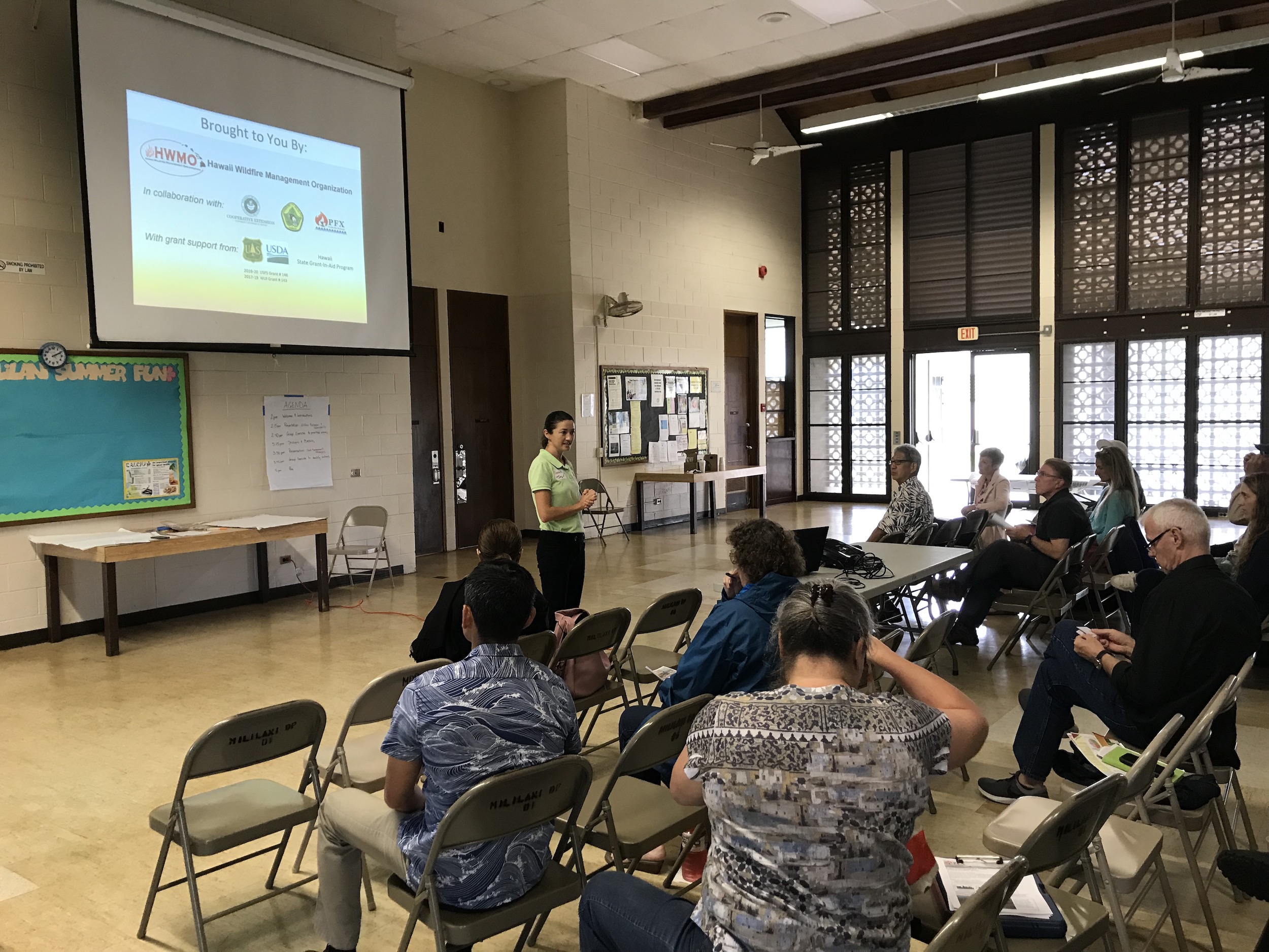
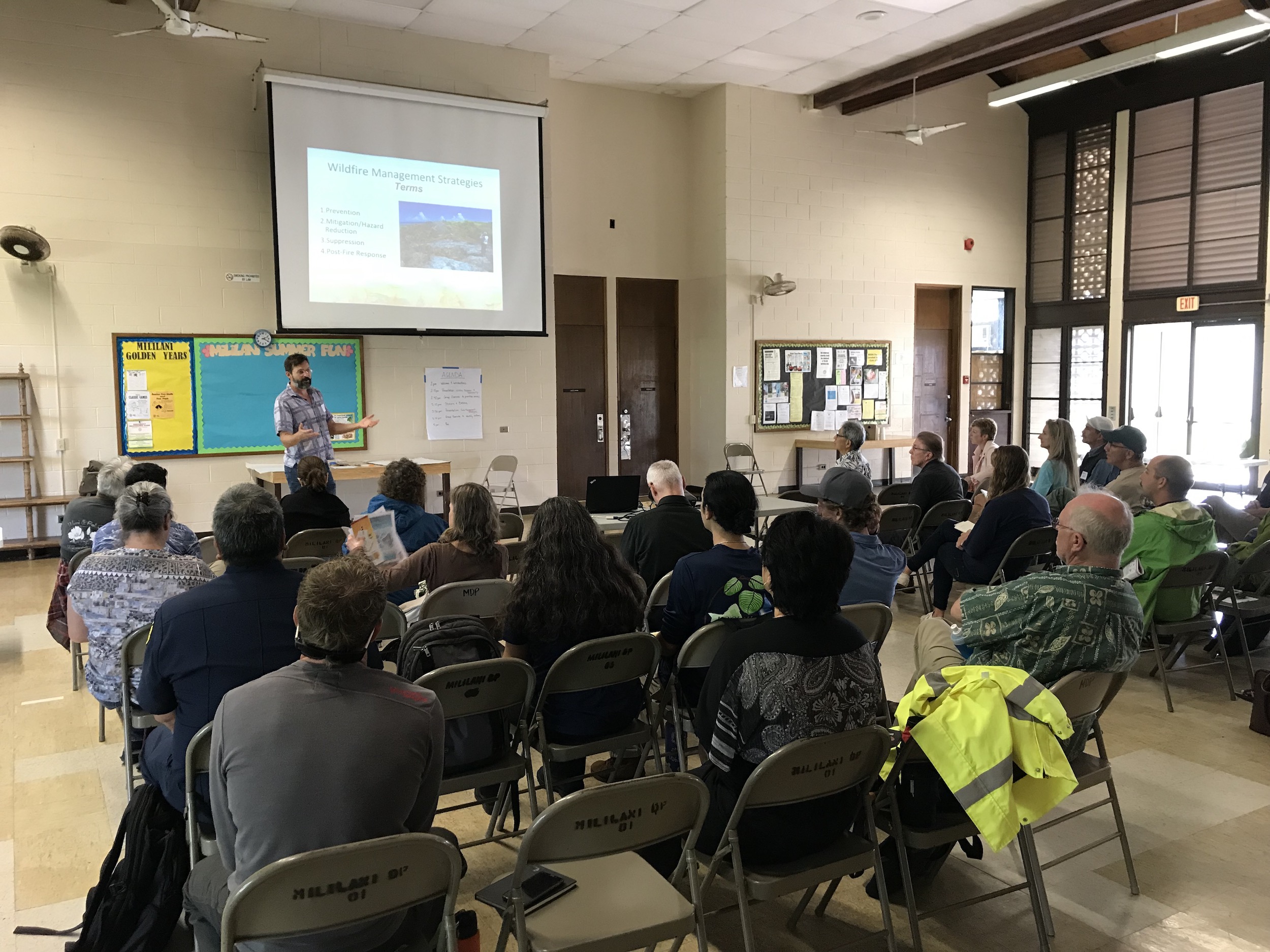
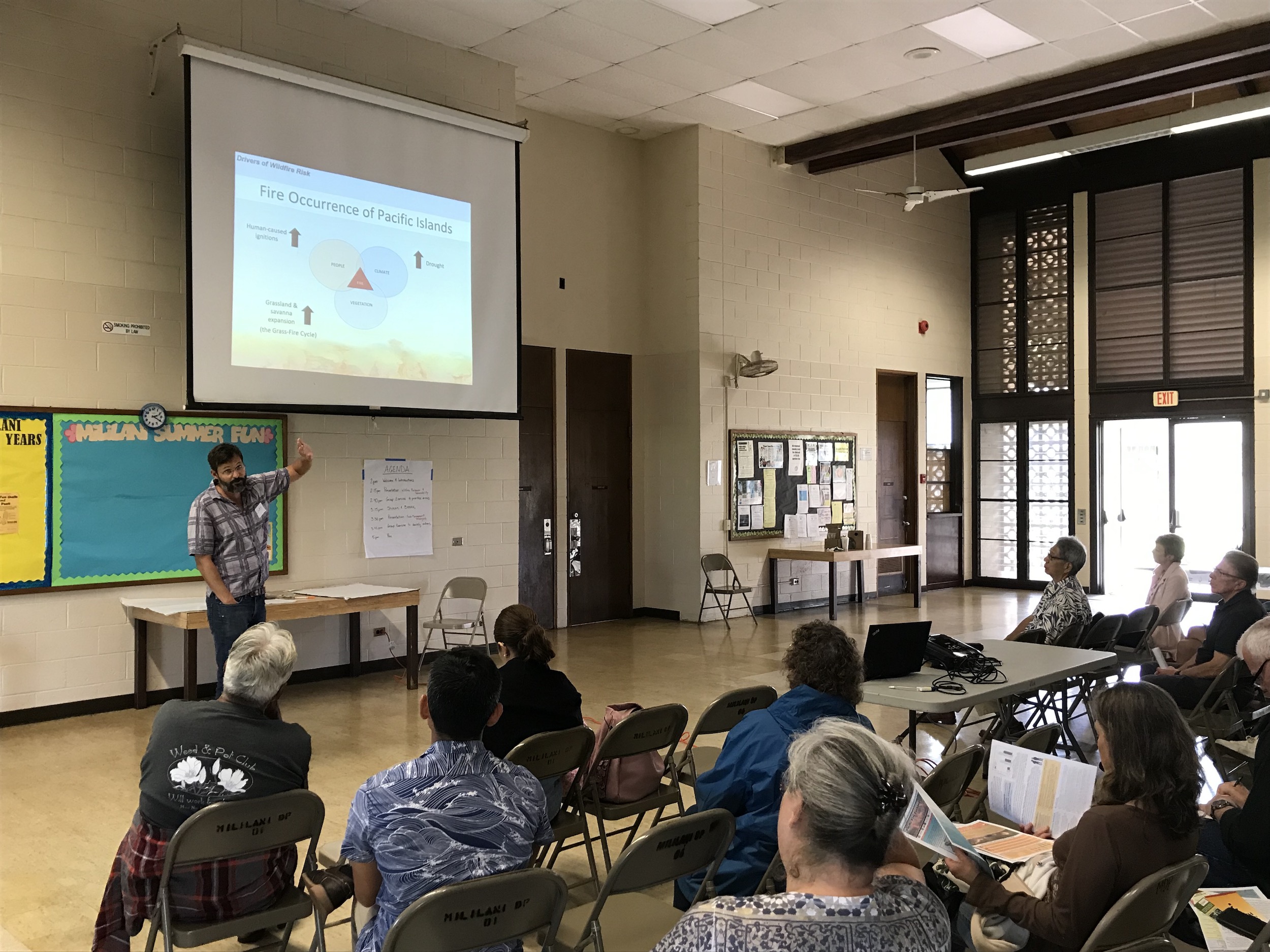
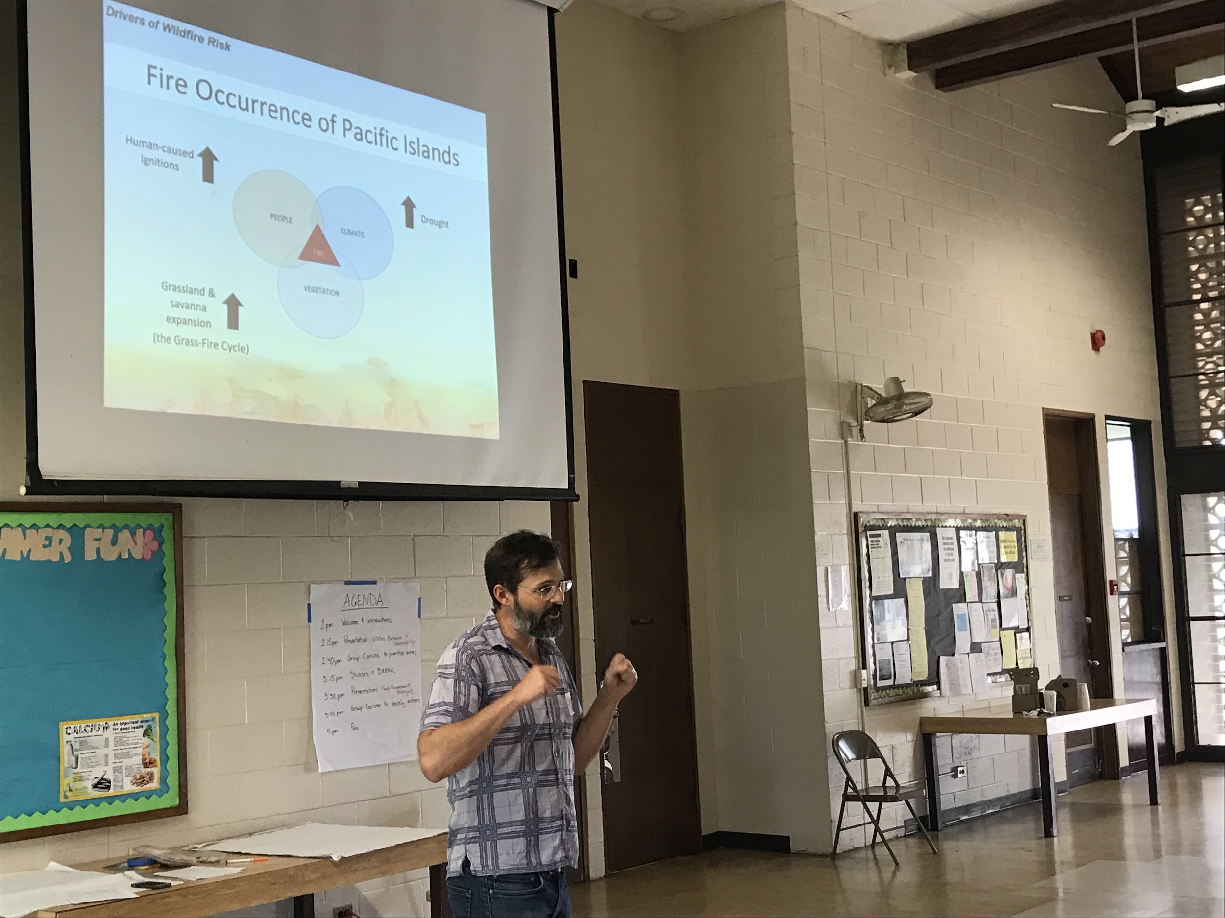
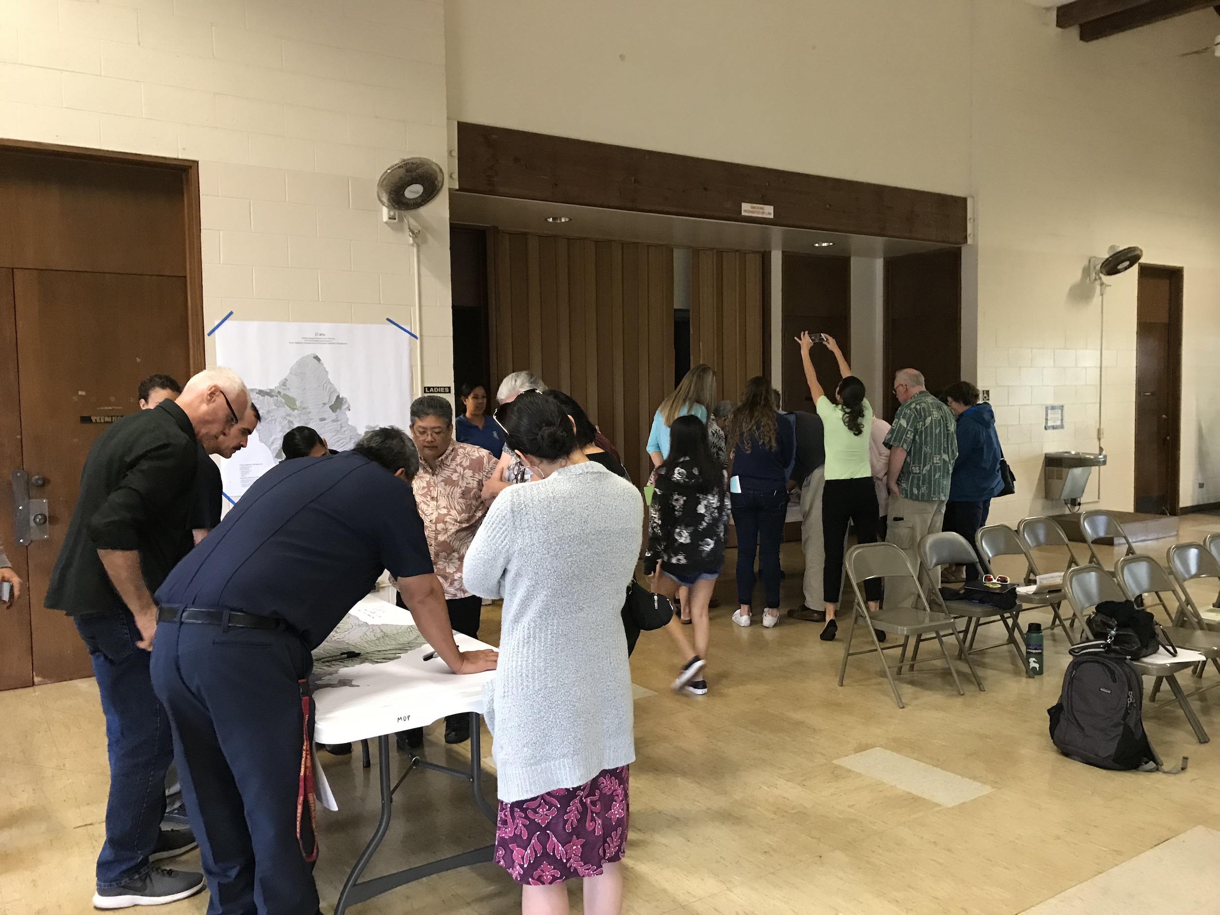
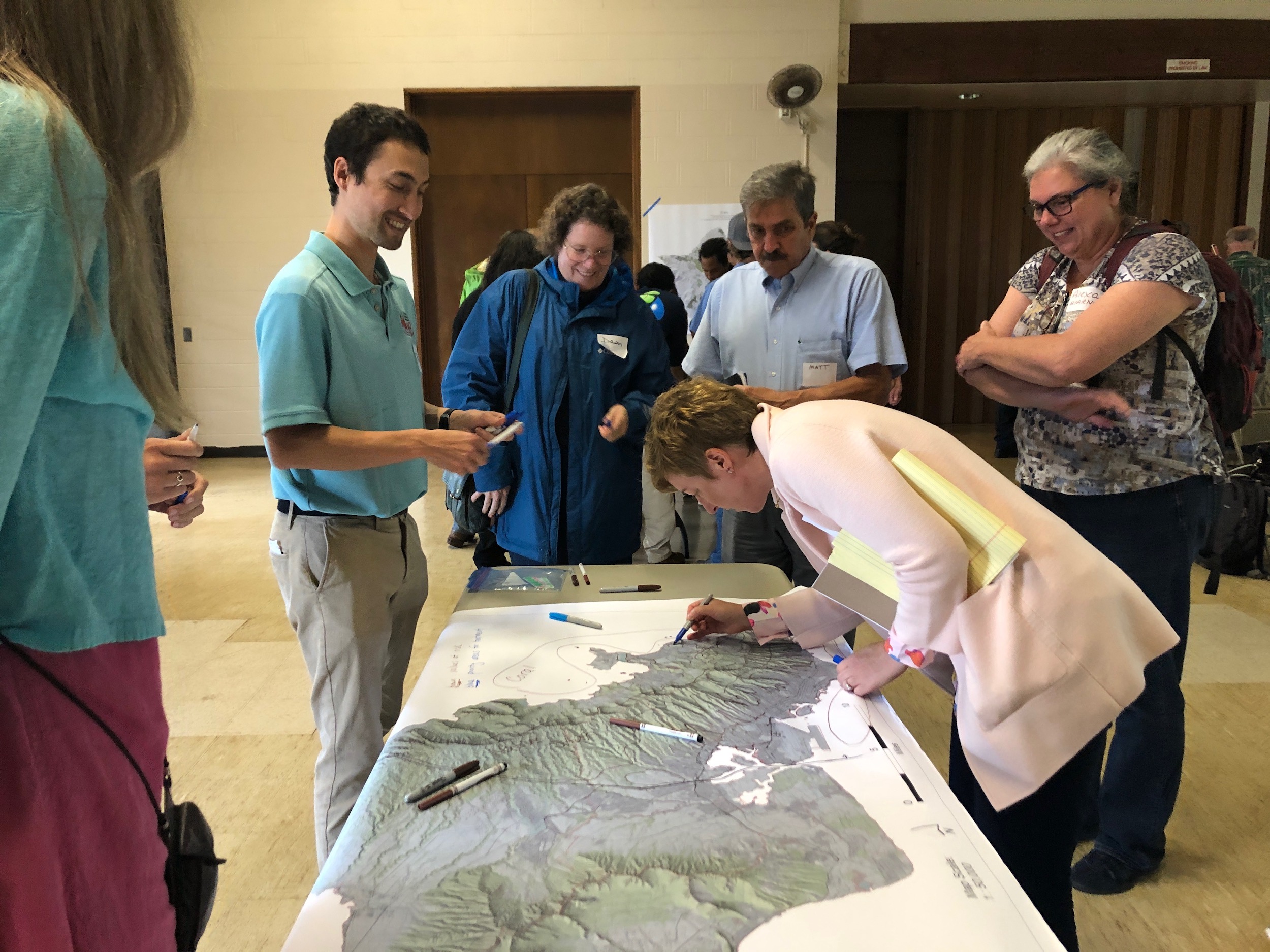
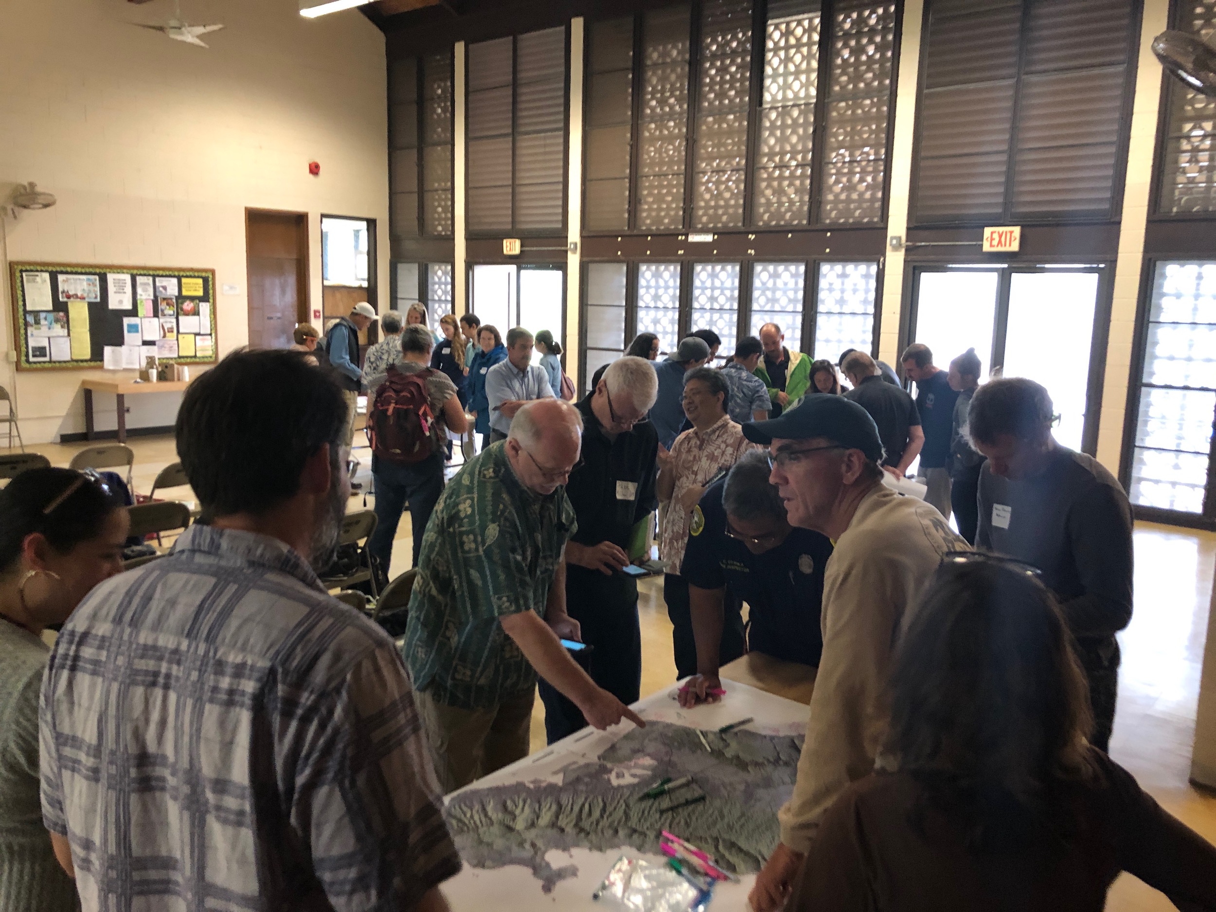
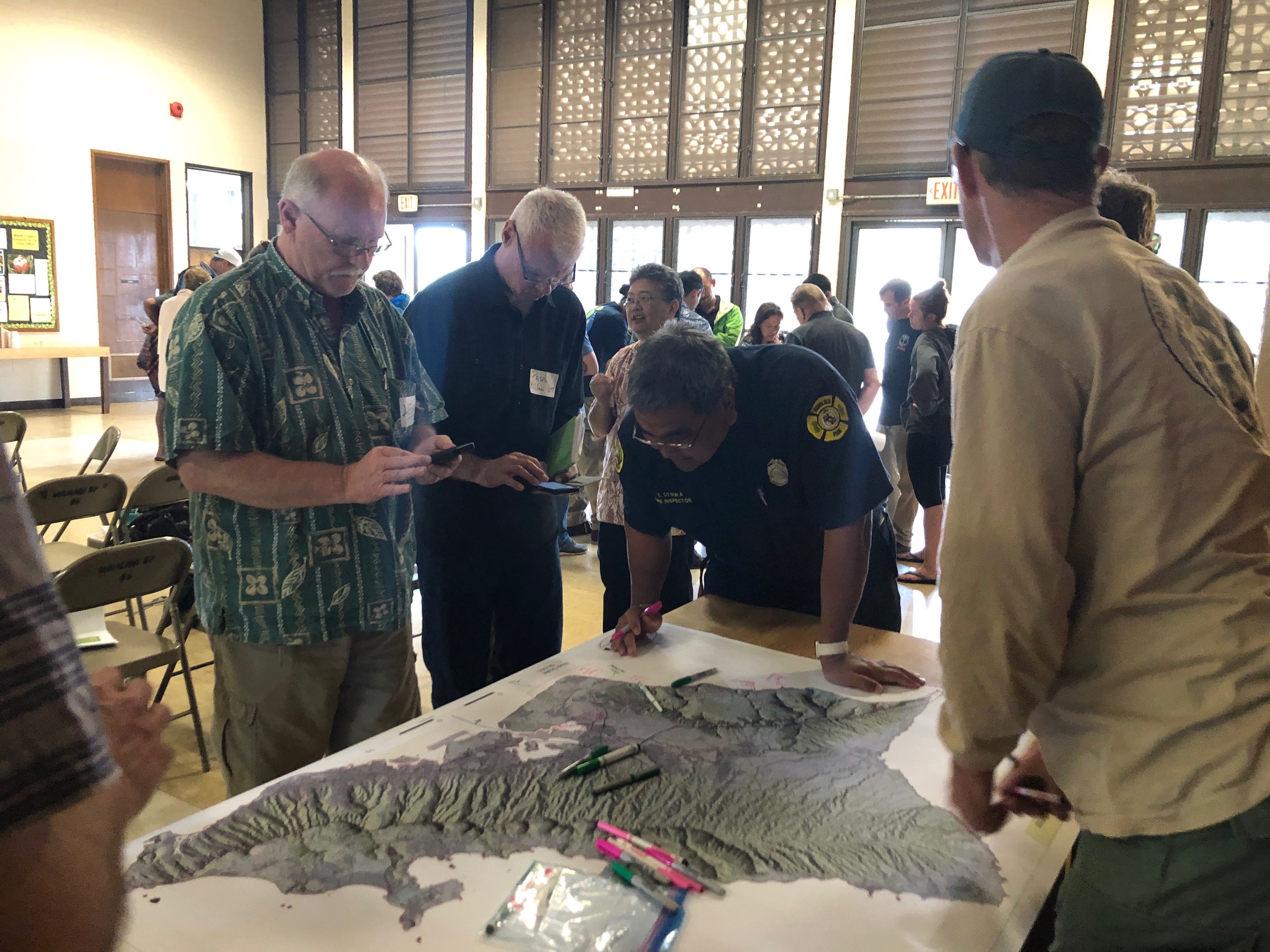
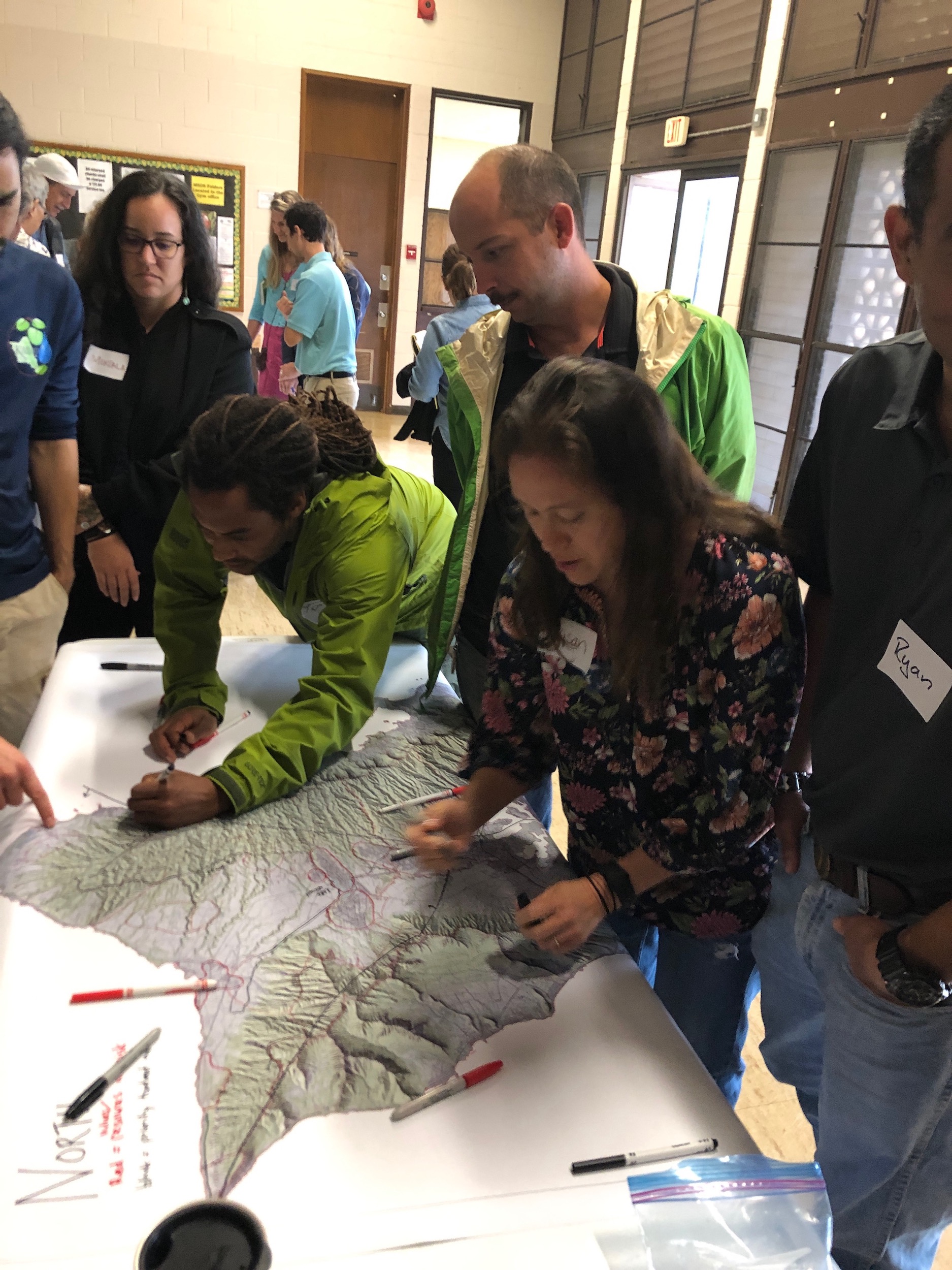
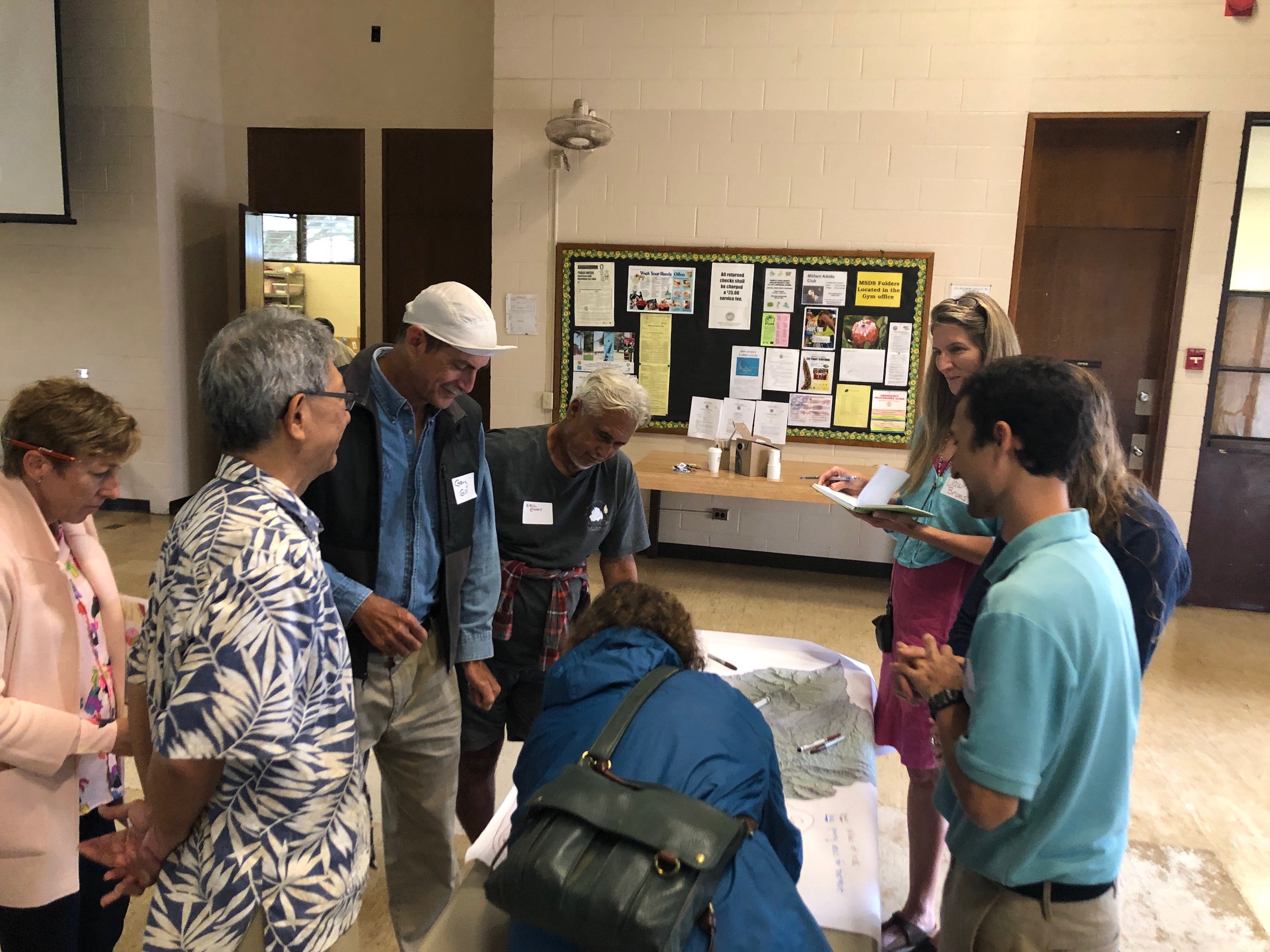
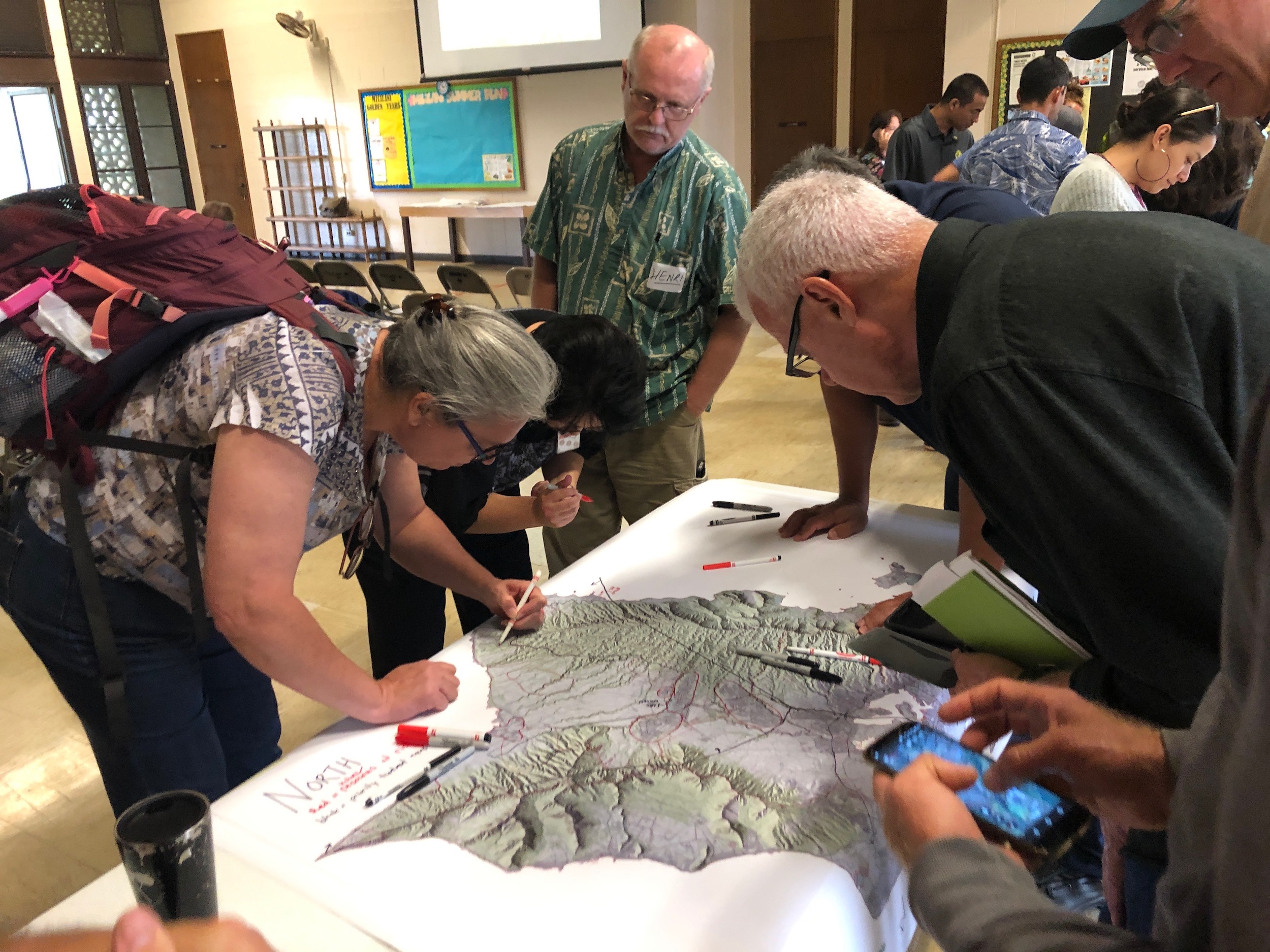
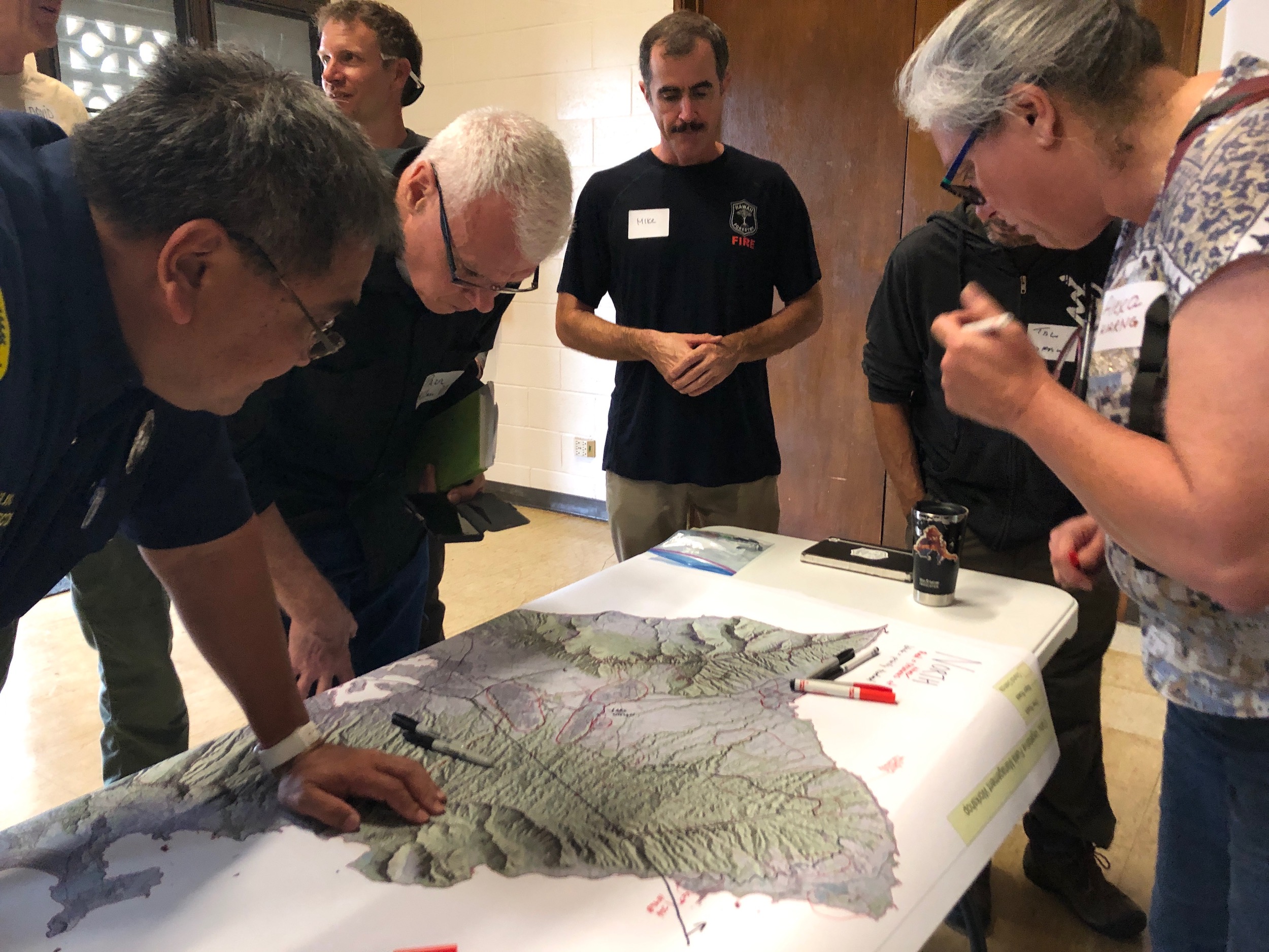
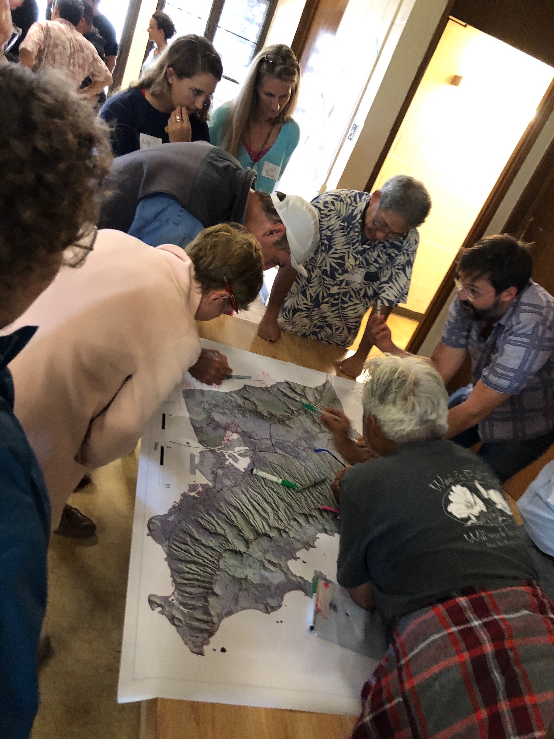
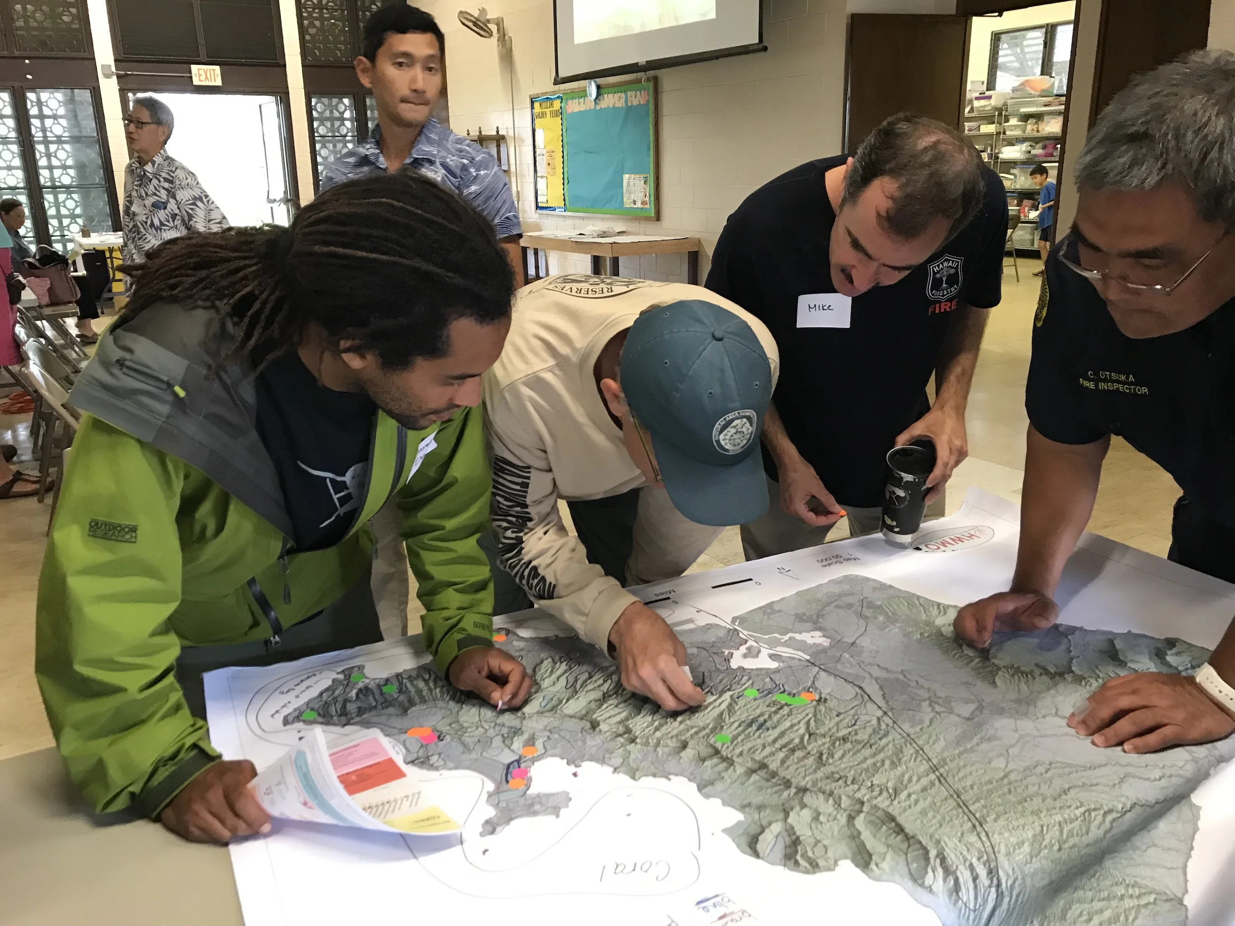
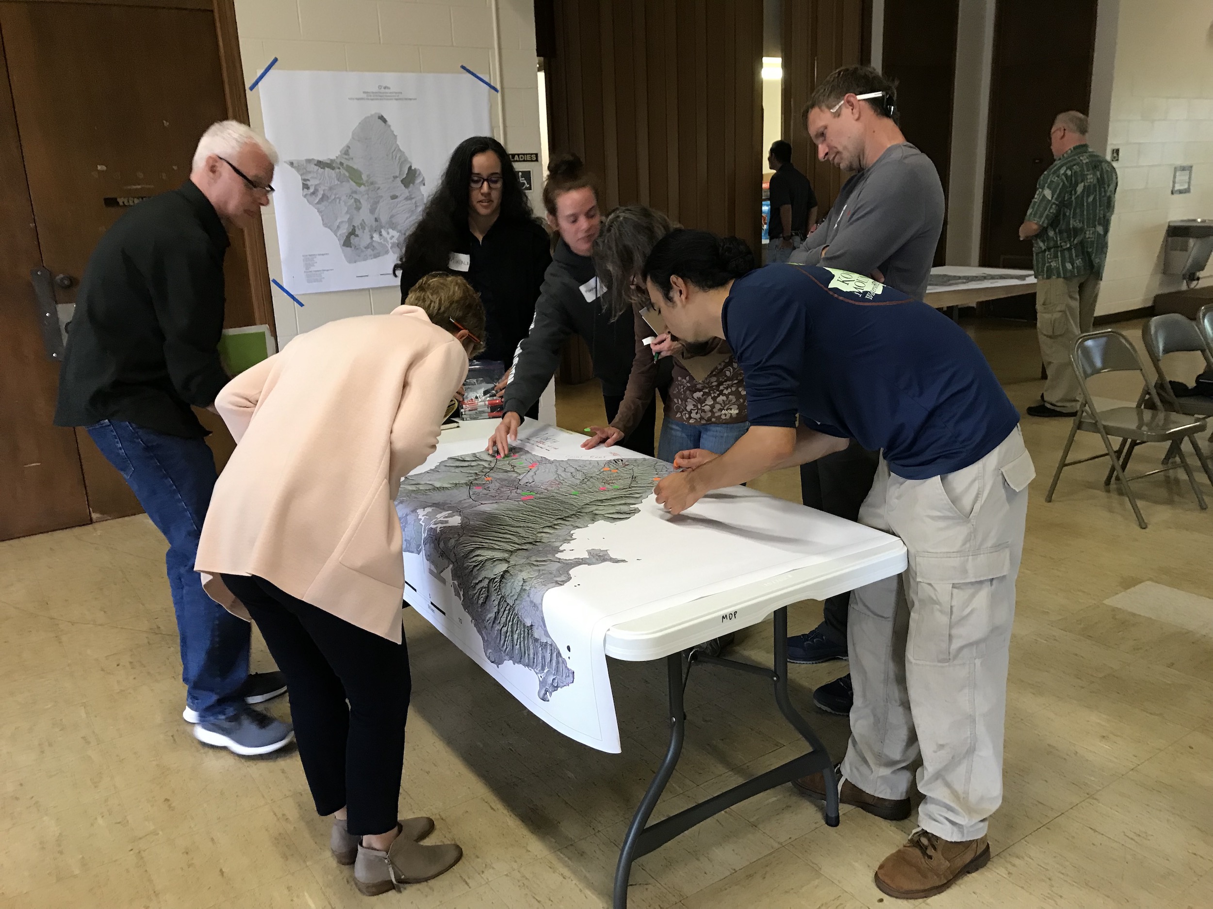
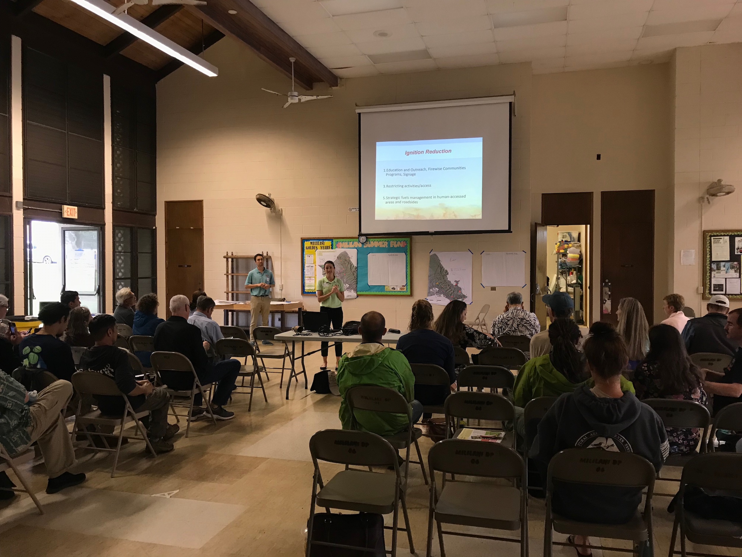
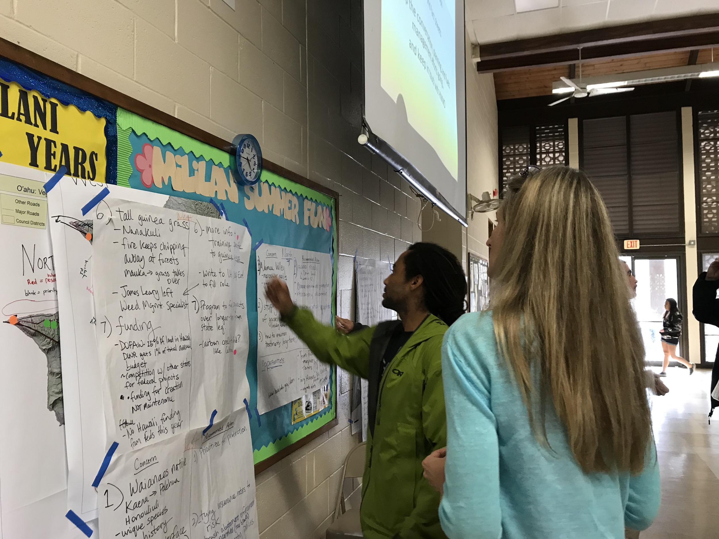
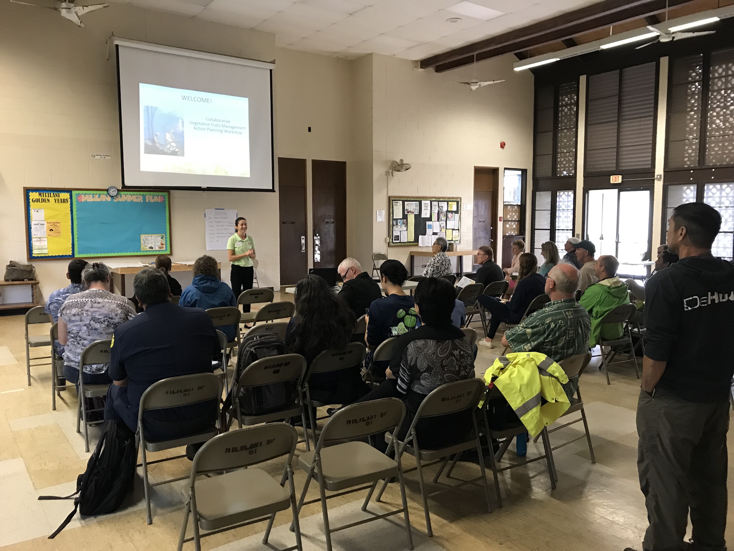
Fire follows fuel. On February 19 at the Mililani District Park, we convened a large group of 33 people on Oahu representing a patchwork of different agencies, groups, and organizations across a variety of fields to come together to plan for collaborative, large-scale vegetation management to reduce wildfire risks throughout the island. This was part of a series of workshops on Oahu, Kauai, and Hawaii Island we held in February on this matter (we had a similar meeting on Maui in 2018).

During the workshop, participants:

  • Checked out the results of recent efforts to map current management of hazardous vegetative fuels (thanks to all of the information that partners contributed).

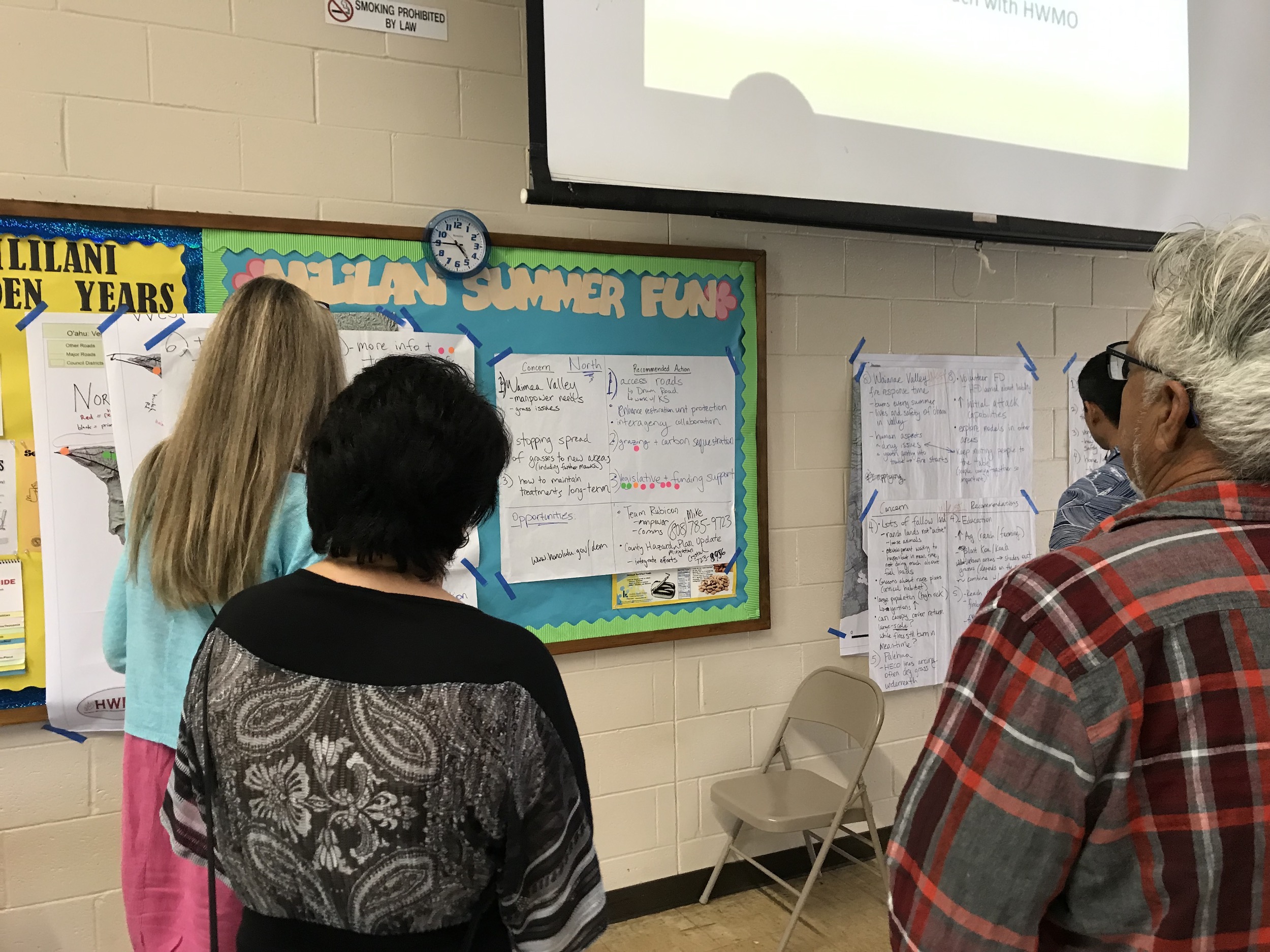
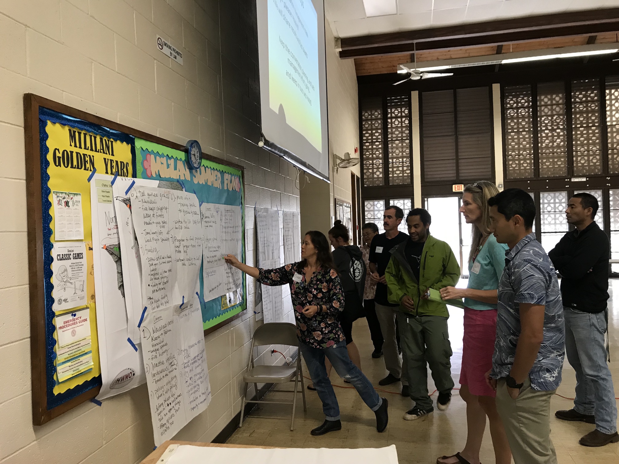
  • Identified and discussed shared regional fuels management priorities to mitigate the risks of wildfire across our island landscapes through a facilitated series of small and large group conversations.

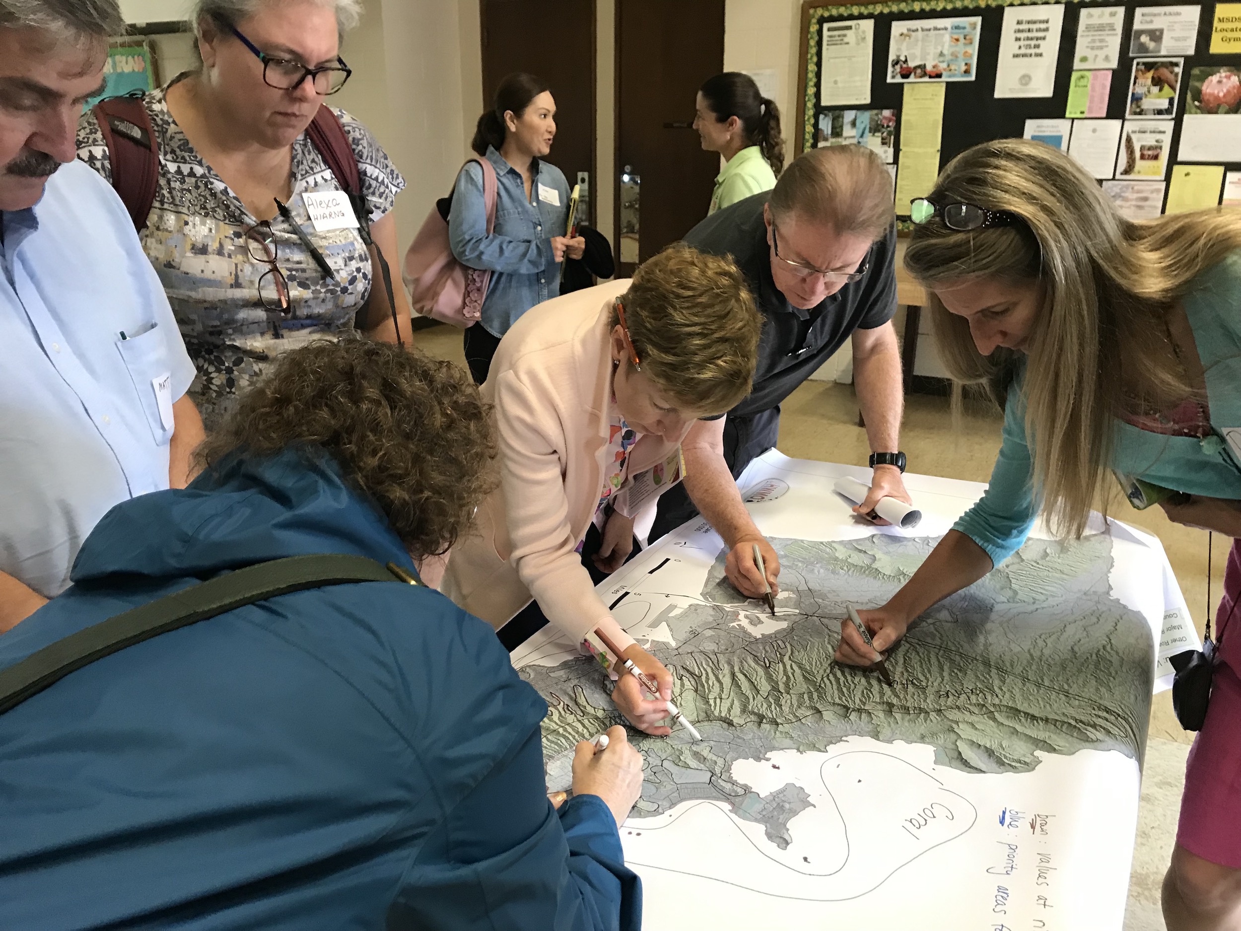
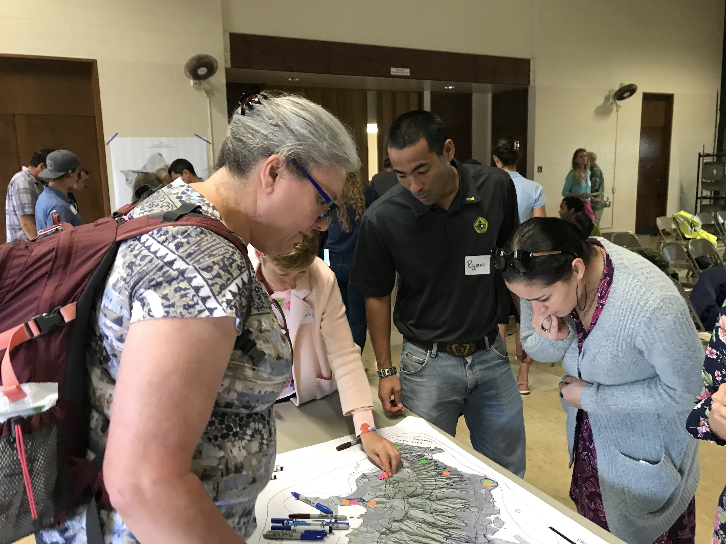
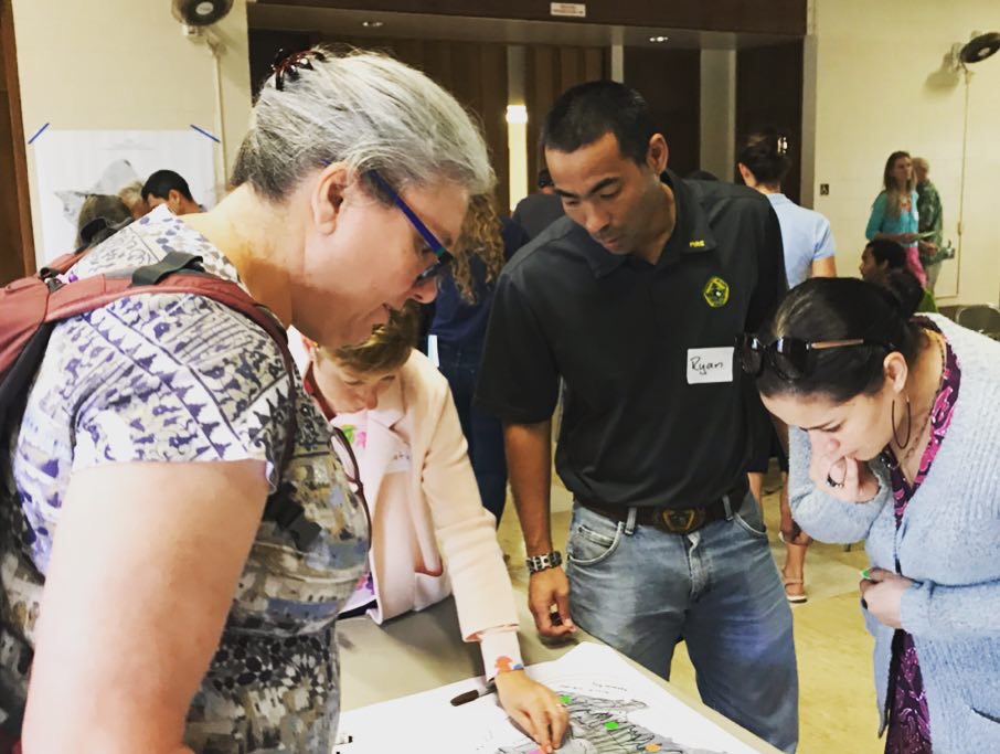
Marking values at risk and areas for fuels treatments.

Marking values at risk and areas for fuels treatments.

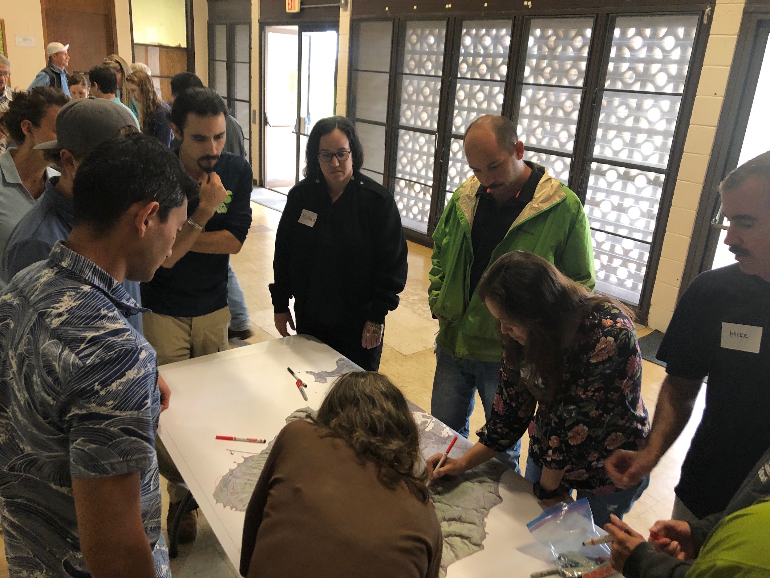
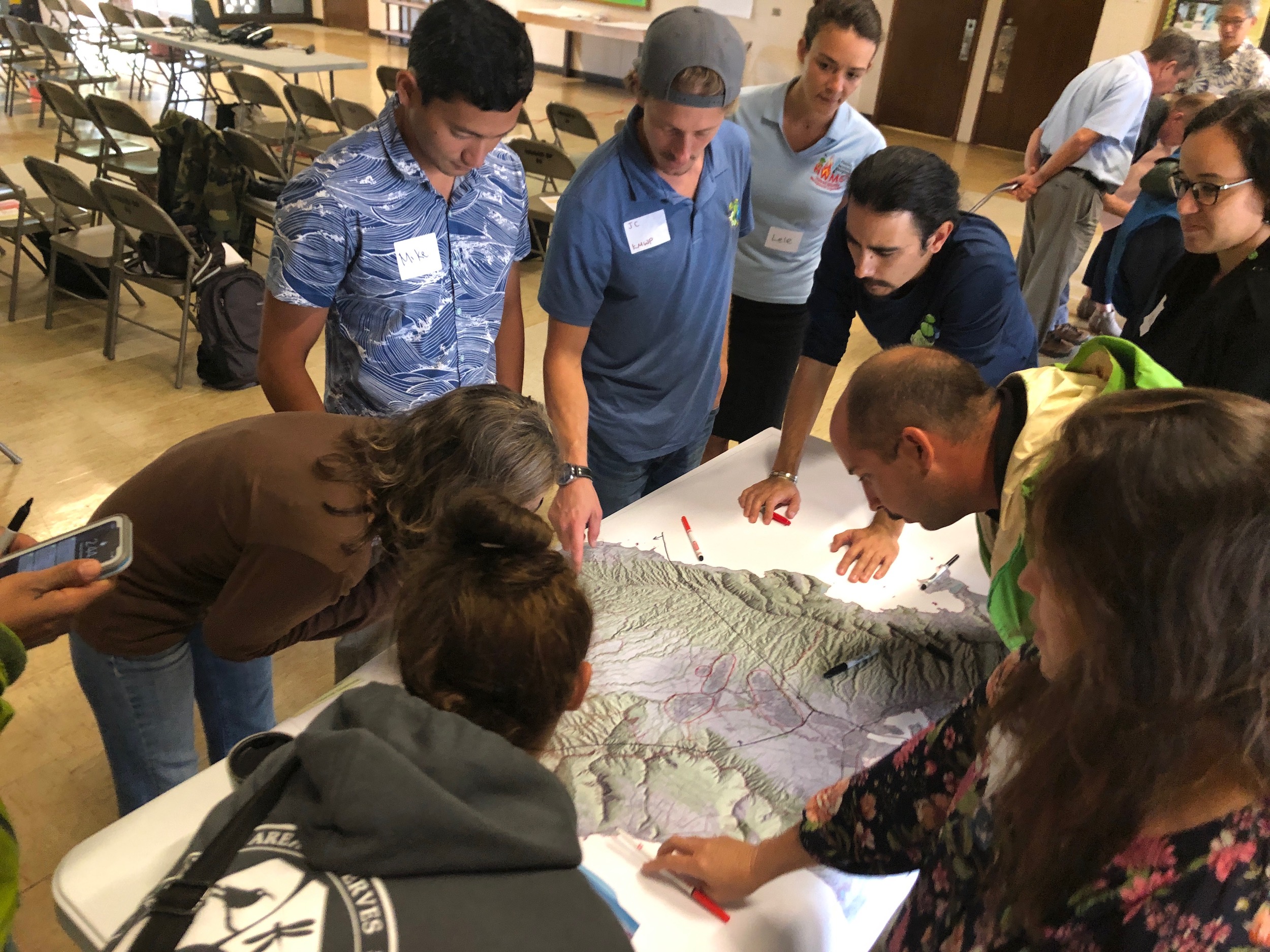
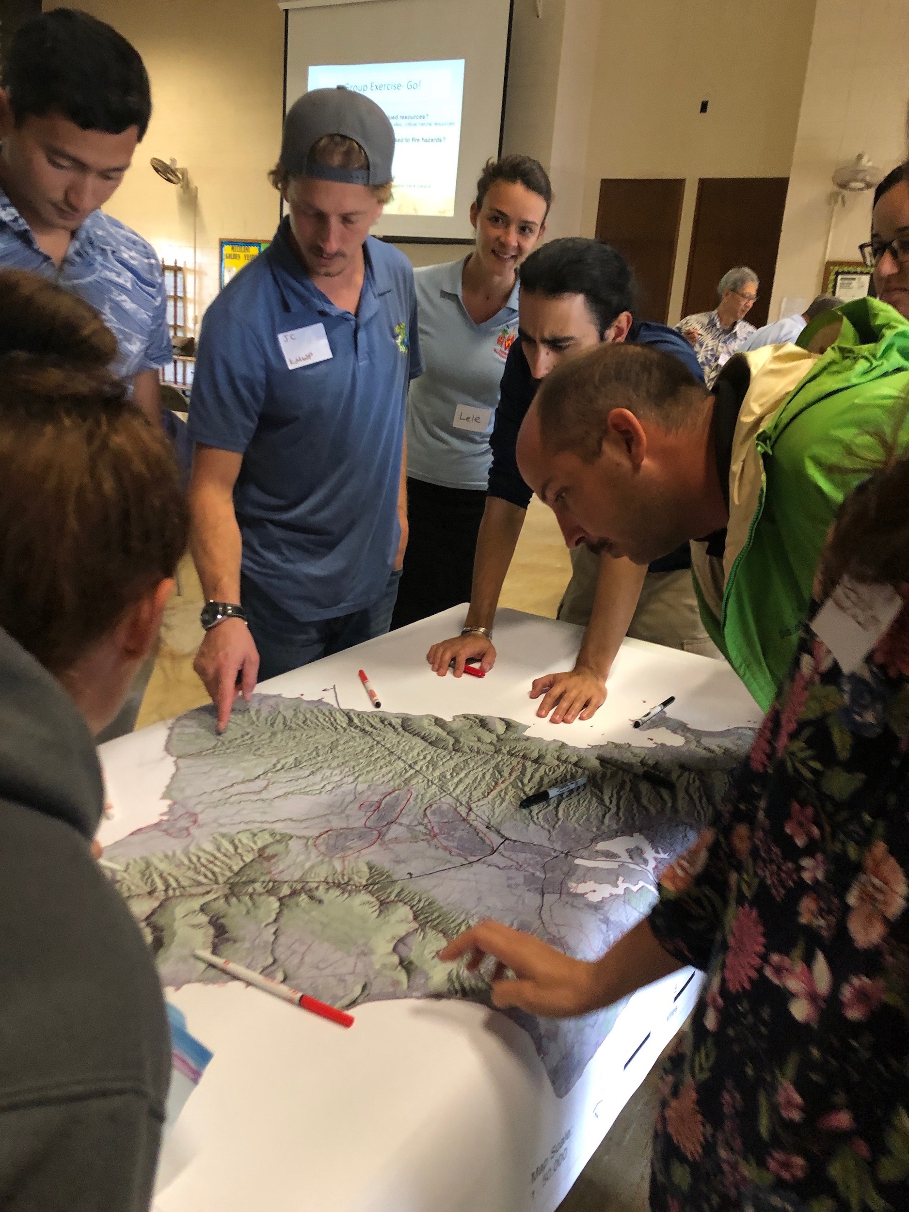
More identifying of key areas.

More identifying of key areas.

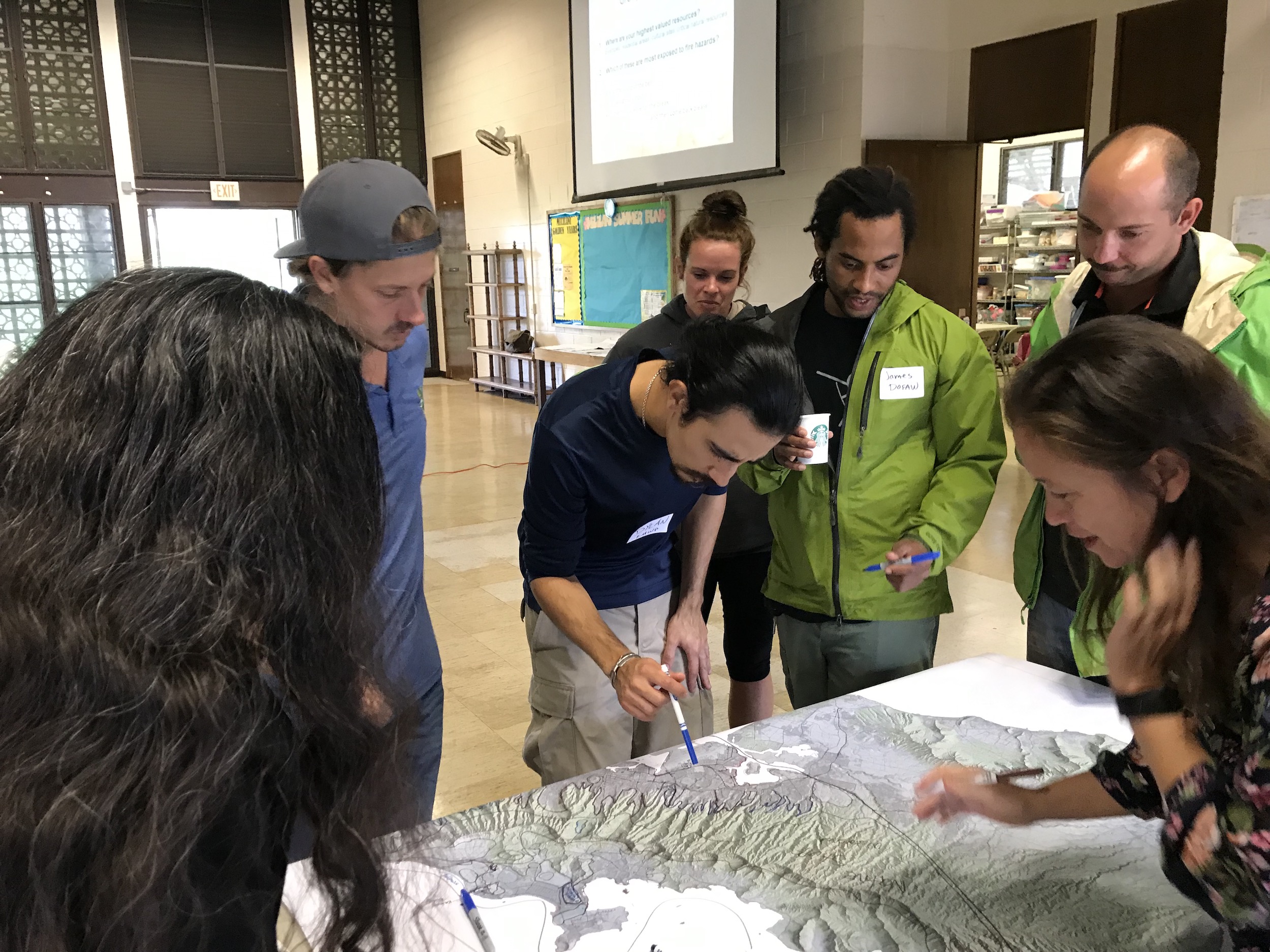
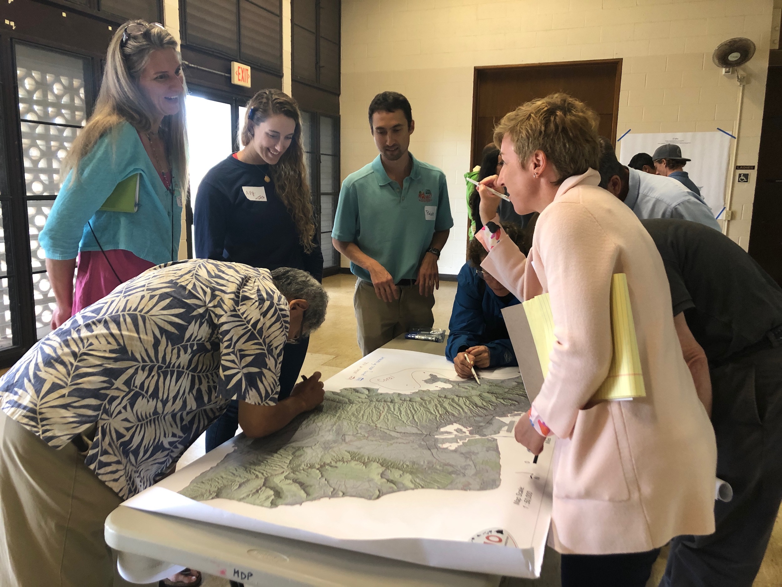
Voting for priority project ideas.

Voting for priority project ideas.

The knowledge and priorities of the participants will contribute to planning next steps in the ongoing collaboration to manage vegetative fuels to reduce wildfire and protect our communities and natural resources.

We are all in this together and it takes all of us!

Stay tuned via our website, social media, and e-newsletter (sign up at the bottom of this page) for final project-related products before this summer.

Mahalo DOFAW, UH CTAHR Cooperative Extension / Pacific Fire Exchange for co-organizing with us.
Oahu Vegetative Fuels Management Mapping Meeting with Dupont Pioneer

View of the North Shore from Dupont Pioneer in Waialua.

View of the North Shore from Dupont Pioneer in Waialua.

As a hub of wildfire protection efforts across the Hawaiian Islands, we are always looking for ways to bring people together to solve some of our most complex wicked problems. The Hawaiian Islands have been struggling with invasive species spread for decades, but now we are seeing what happens when invasive flammable plants take over the landscape and allow fires to spread more quickly and over larger areas. By controlling or managing flammable vegetation at the landscape-level, we can make great strides towards reducing the wildfire risk on our islands.
That’s why HWMO is coordinating a statewide vegetative fuels management mapping project — a rapid assessment to understand the vegetation management needs and priorities of landowners and land managers throughout the Hawaiian Islands. DLNR Division of Forestry and Wildlife and University of Hawaii CTAHR Cooperative Extension are key partners in the effort.

The vision for the project is that the resulting maps will lead to 1) better prioritization and communication of vegetative fuels management on the landscape-scale and 2) enhance project coordination between organizations and funding opportunities.

On December 14, we visited Dupont Pioneer in Waialua to map current and desired vegetation management activities. Activities could include any vegetation reduction or conversion projects such as roadside mowing, fuelbreaks, grazing rotations, clearing around structures or power poles, brush abatement or thinning, tree trimming, loi restoration, agriculture, and native forest restoration.

2018 CTAHR Agriculture and Environmental Awareness Fair

Hundreds of keiki visited the many outreach booths, including HWMO's, at this year's event.

Hundreds of keiki visited the many outreach booths, including HWMO's, at this year's event.

We traveled to Oahu to talk to over 500 students about wildfire and its impacts on our watersheds, ocean, and critical protein source (fish) due to post-fire erosion and runoff. On February 9, the keiki came from various schools in Central Oahu to the Pearl City Urban Garden Center as part of University of Hawaii CTAHR’s Agriculture and Environmental Awareness weekend. We had so much fun being around such engaged and enthusiastic youth — they were also quite knowledgable, as well. Even within a short 5-minute span with each class, the students learned a lot about how wildfire impacts our watersheds and they were able to connect the dots right away. They also quickly pointed out that the best way to cut off this cycle was to stop it at the source: to prevent wildfires!

Mahalo UH CTAHR for inviting us to join this year!

CTAHR Agriculture and Environmental Awareness Fair 2/9/2018

PFX/HWMO Palehua Wildfire Mitigation Strategies Workshop and Field Tour

Opening circle and prayer to begin the day.

Opening circle and prayer to begin the day.

Pacific Fire Exchange (PFX) and HWMO linked up on July 17 to hold an exciting day of fun and learning in Palehua, just mauka of Makakilo on Oʻahu. PFX’s Clay Trauernicht, Melissa Kunz, and Elizabeth Pickett spent several weeks planning this wildfire mitigation strategies workshop that led into a field tour as a follow-up to a workshop they put on at the PICCC conference several months ago. HMMO’s Pablo Beimler also joined the workshop as a helping hand. The Palehua workshop was tied into the Hawaiʻi Conservation Conference as a pre-conference event that interested conservationists could attend. Thirty or so people from various agencies and organizations including National Park Service, Honolulu Fire Department, Fed Fire, DLNR Division of Forestry and Wildlife, and University of Hawaiʻi joined the event. 

The day kicked off with a workshop at Palehua Camp, formerly Camp Timberline, amongst tall trees and with scenic views of the Ewa area below. Clay Trauernicht gave a brief presentation on fire science using data he was synthesizing from the HWMO fire history database. Some interesting new factoids included:

* 75% of fires in Hawaiʻi are accidental

* 75% of fires in Hawaiʻi occur under drought conditions

* Over 80% of areas burned in Hawaiʻi are grassland/shrubland areas

Clay also shared about values at risk and their vulnerabilities. He adapted an equation he learned from a recent climate adaptation workshop, to fit into the fire science framework:

Vulnerability = exposure (fire hazards) + resource sensitivity (sensitivity to fire) — adaptive capacity (wildfire mitigation)

Elizabeth followed Clay’s presentation by highlighting various mitigation strategies. With these presentations in mind, the participants broke into groups for a computer-based activity. The groups picked a “designated mouse driver” and dug into the wildfire hazards and values at risk in Palehua using Google Earth. Once they determined areas of concern and the hazards that threatened those areas, they determined mitigation strategies they could apply to the area to reduce the fire hazard. They then shared their findings with the rest of the workshop participants. Anu and McD, two men who knew Palehua on the back of their hands, blessed us with examples of mitigation strategies they had actually implemented or planned to implement in the area. 

Breaking out into groups to discuss wildfire mitigation strategies for Palehua.

Breaking out into groups to discuss wildfire mitigation strategies for Palehua.

Scanning through Google Earth to determine areas of concern and wildfire hazards in Palehua.

Scanning through Google Earth to determine areas of concern and wildfire hazards in Palehua.

The workshop then shifted into a field tour as participants hopped into vans for the afternoon. The first stop was an overlook area where one could see where the 2014 Makakilo fire started and took off. The fire was an intense one that killed over 200 wiliwili trees and charred several homes. Mikiʻala Akiona, Public Education Specialist for Honolulu Fire Department, noted how difficult the fire was to suppress due to the many hot spots and restarts that occurred. The group then stopped towards the top of Palehua at a ranch-style building called Hokuloa, which had been used as a staging area and command center for large fires. Participants learned about the importance of having the right fittings for water tanks (as well as the need for suction hoses) and for creating fuelbreaks horizontal to the slope. Throughout this discussion, the participants had a spectacular view of central Oʻahu, which became increasingly obscured by a large rain cloud headed their way. 

Looking out over the area where the Makakilo 2014 fire started.

Looking out over the area where the Makakilo 2014 fire started.

Group photo in front of Nānakuli backdrop.

Group photo in front of Nānakuli backdrop.

Rain cloud headed towards the group while looking towards Kunia.

Rain cloud headed towards the group while looking towards Kunia.

Back of Nānakuli Valley where remnant native forests still exist.

Back of Nānakuli Valley where remnant native forests still exist.

The group then traveled up to a cabin for views of the north side of Palehua, where the discussion turned its focus toward the 2016 Nānakuli Fire that threatened homes and resources such as communication towers. The final stop added a little bit of adventure to the day. The participants hiked up to the top of Mauna Kapu through bamboo forests, stopping for a chant led by Anu before reaching the sacred peak. Once atop the mauna, Gary Gill, a large landowner in the area, gave background on how special the place they were surrounded by was. The area used to have one of the highest concentrations of native tree snails, but the population had been steadily declining within the last couple of years. There were several populations of different varieties of native birds still calling the area their home. Previous fires had burned ʻiliahi forests in the back of Nānakuli Valley, but about half of them had recovered, although they were much more stunted in growth than before. 

The workshop and field tour was a memorable one for us all and we hope that the valuable lessons and conversations that took place were of value for all of the participants. Mahalo to all who came out for a special day in Palehua.  

PFX-HWMO Wildfire Mitigation Strategies Workshop and Field Tour of Palehua 7/17/17