Oahu

Kamilonui-Mariner's Cove Memorial Day Weekend Wildfire Mitigation Project

Representative Gene Ward joins the cause this past weekend.

Representative Gene Ward joins the cause this past weekend.

As a very fitting tribute to Memorial Day, a collaboration of people including military veterans from Team Rubicon, an international veteran service organization that uses disaster response to help reintegrate veterans back into civilian life, came out in full force to create a large firebreak around Kamilonui-Mariner’s Cove. The Firewise Community (the first ever on Oahu as of this year!) of agricultural and residential lots in Hawaii Kai, has been working with HWMO for a couple of years now in an effort to create a more wildfire resilient community.

Carol Jaxon (left) and Elizabeth Reilly (middle) have been instrumental in moving Firewise Communities project forward in Kamilonui-Mariner’s Cove. We cannot thank them enough!

Carol Jaxon (left) and Elizabeth Reilly (middle) have been instrumental in moving Firewise Communities project forward in Kamilonui-Mariner’s Cove. We cannot thank them enough!

Big mahalo to Team Rubicon for the enormous time and effort they donated to the cause!

Big mahalo to Team Rubicon for the enormous time and effort they donated to the cause!

This weekend, as part of Wildfire Preparedness Day, we are seeing what it means to be fire-adapted: everyone playing a role to reduce wildfire risk. The Firewise committee consisting of local residents and farmers, Aloha Aina O Kamilo Nui, and Livable Hawaii Kai Hui organized the work days; Team Rubicon volunteers are knocking back fire fuels; neighboring landowners provided access to the land and green waste hauling services; residents are feeding volunteers; and HWMO provided a hazard assessment, continual guidance through the Firewise Communities process, and a $2,000 grant from the U.S. Forest Service. We are so grateful to everyone who is helping out to make Kamilonui - Mariner’s Cove a model for community-driven wildfire protection on Oahu and for the rest of the Hawaiian Islands!

All photos courtesy of Aloha Aina O Kamilonui

Malama Learning Center Teacher Training on Wildfire and Climate Change

West Oahu teachers play a round of “Fire Tag.”

West Oahu teachers play a round of “Fire Tag.”

HWMO’s Community Outreach Coordinator, Pablo Akira Beimler, and University of Hawaii CTAHR Cooperative Extension’s Wildfire Specialist, Dr. Clay Trauernicht presented a full morning of information on wildfire and climate change in Hawaii to West Oahu school teachers. West Oahu is an epicenter of wildfire activity, so we were very grateful for the opportunity to share information on Ready, Set, Go!, Firewise Communities, and Wildfire LOOKOUT! We even had the teachers do a round of “Fire Tag” to then teach to students — the game is a great way to learn about how fire has destroyed native forests and created Hawaiian savannas. Mahalo Malama Learning Center for inviting us and Kapolei High School for hosting us!

Malama Learning Center Teacher Training - Wildfire and Climate Change_2_23_2019_6.jpg

Hawaii State Capitol Legislative Outreach

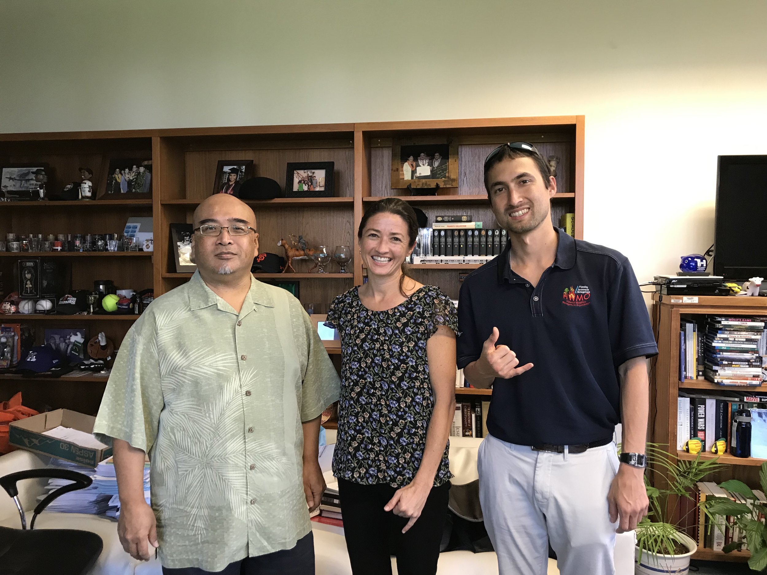
Senator Keith-Agaran with HWMO staff during the office visits on February 20.

Senator Keith-Agaran with HWMO staff during the office visits on February 20.

Legislators are an important player in advancing wildfire protection funding and support. HWMO spent a full day at the Hawaii State Capitol on February 20 knocking on doors and visiting with various legislators and their aides to stress the importance of funding proactive wildfire projects with a busy fire year ahead. The timeliness of these visits was critical since HWMO has submitted a State Grant-In-Aid application to fund wildfire prevention and preparedness activities, including the Wildfire LOOKOUT! campaign.

Mahalo Representative David Tarnas, Senator Gilbert S.C. Keith-Agaran, Senator Dru Kanuha, and Representative Stacelynn K.M. Eli for meeting with us in person.

Oahu Vegetative Fuels Management Collaborative Action Planning Workshop

Thank you to everyone who joined us!

Thank you to everyone who joined us!

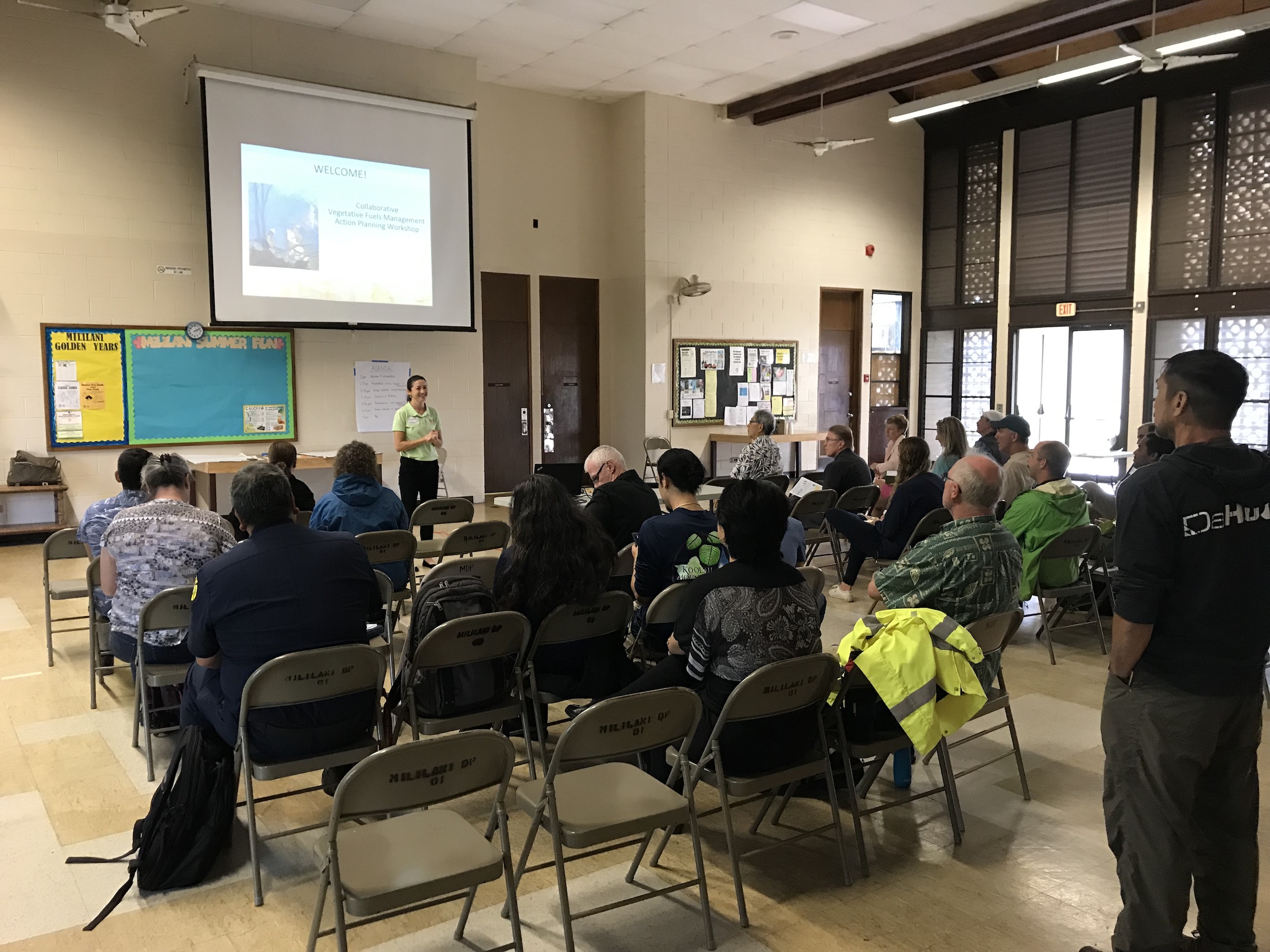
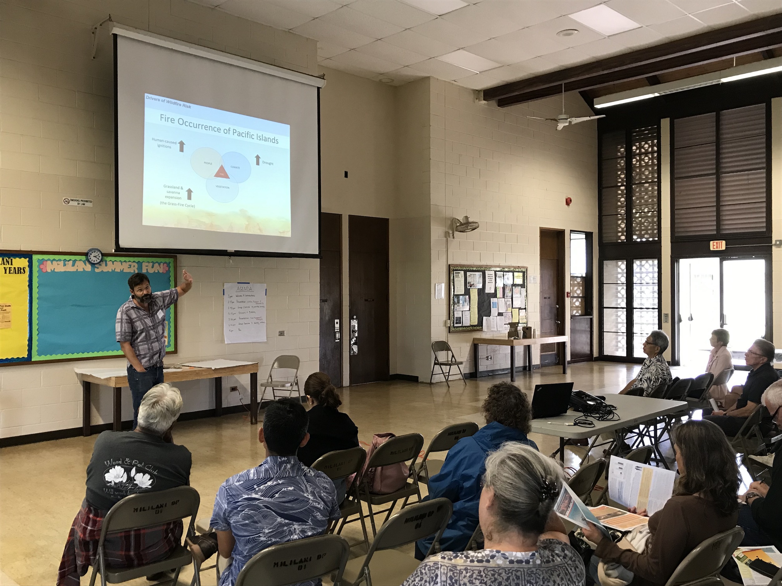
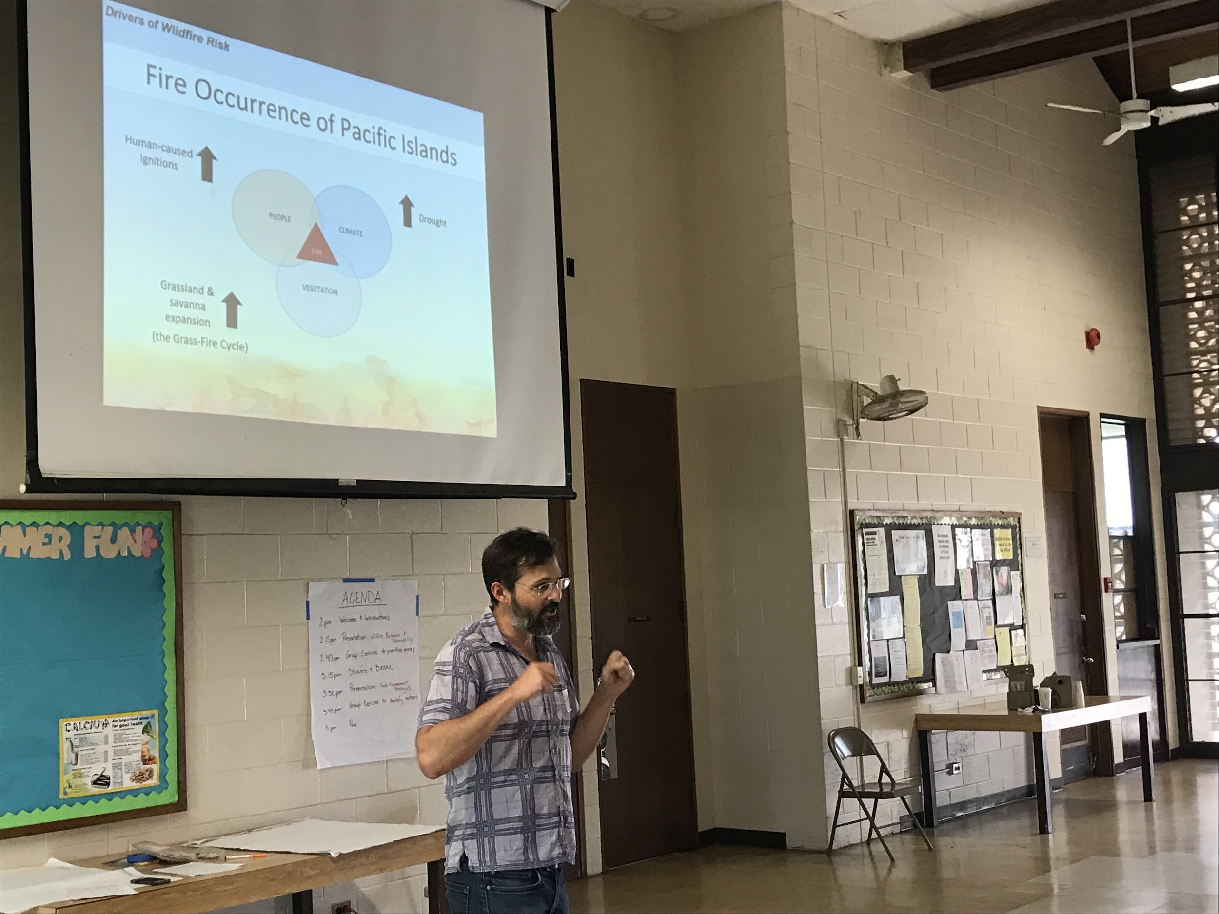
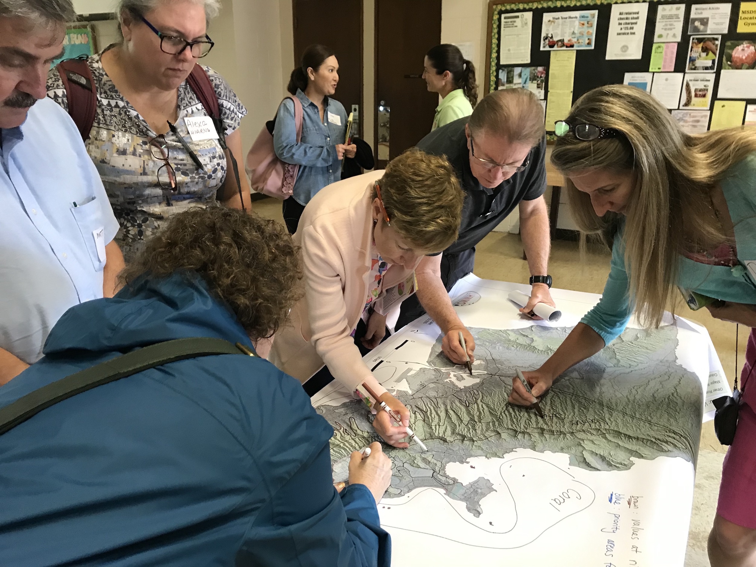
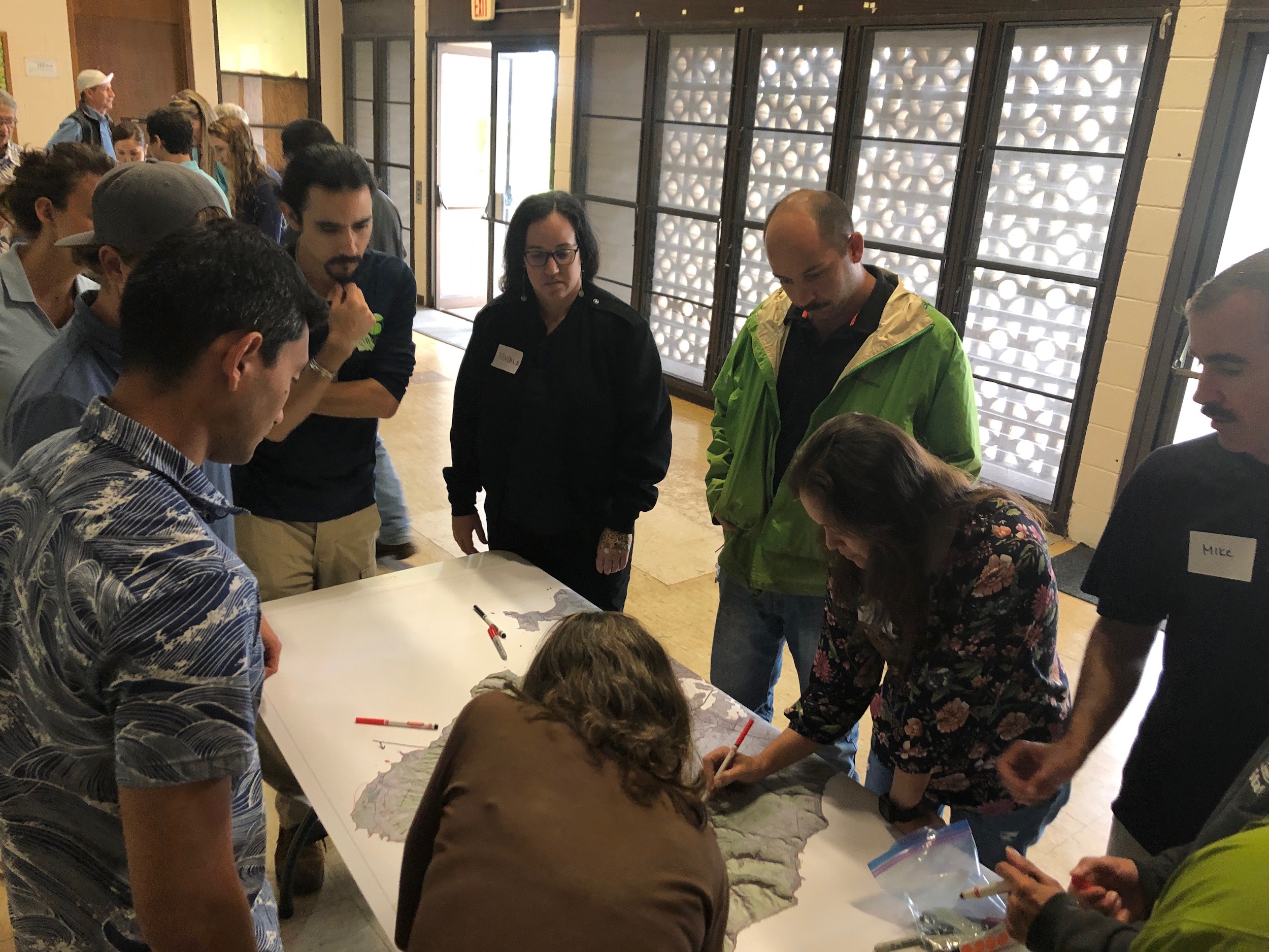
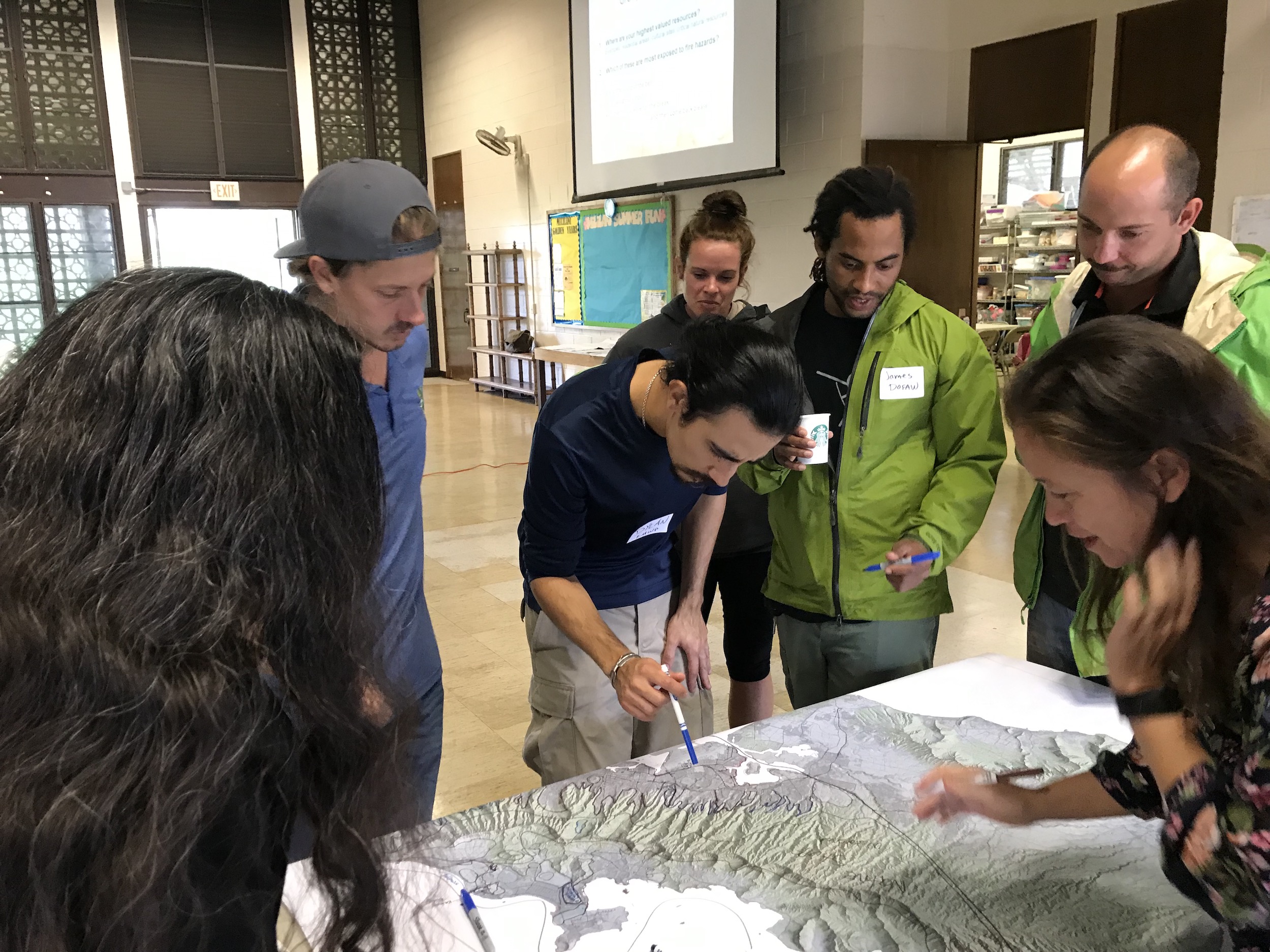
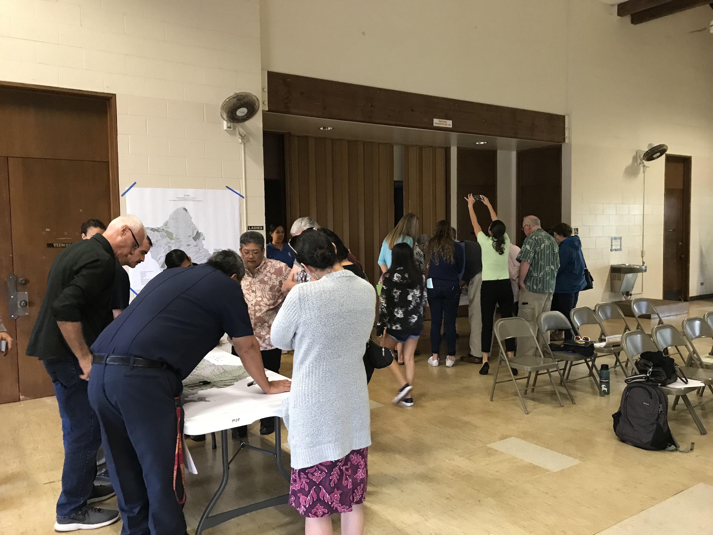
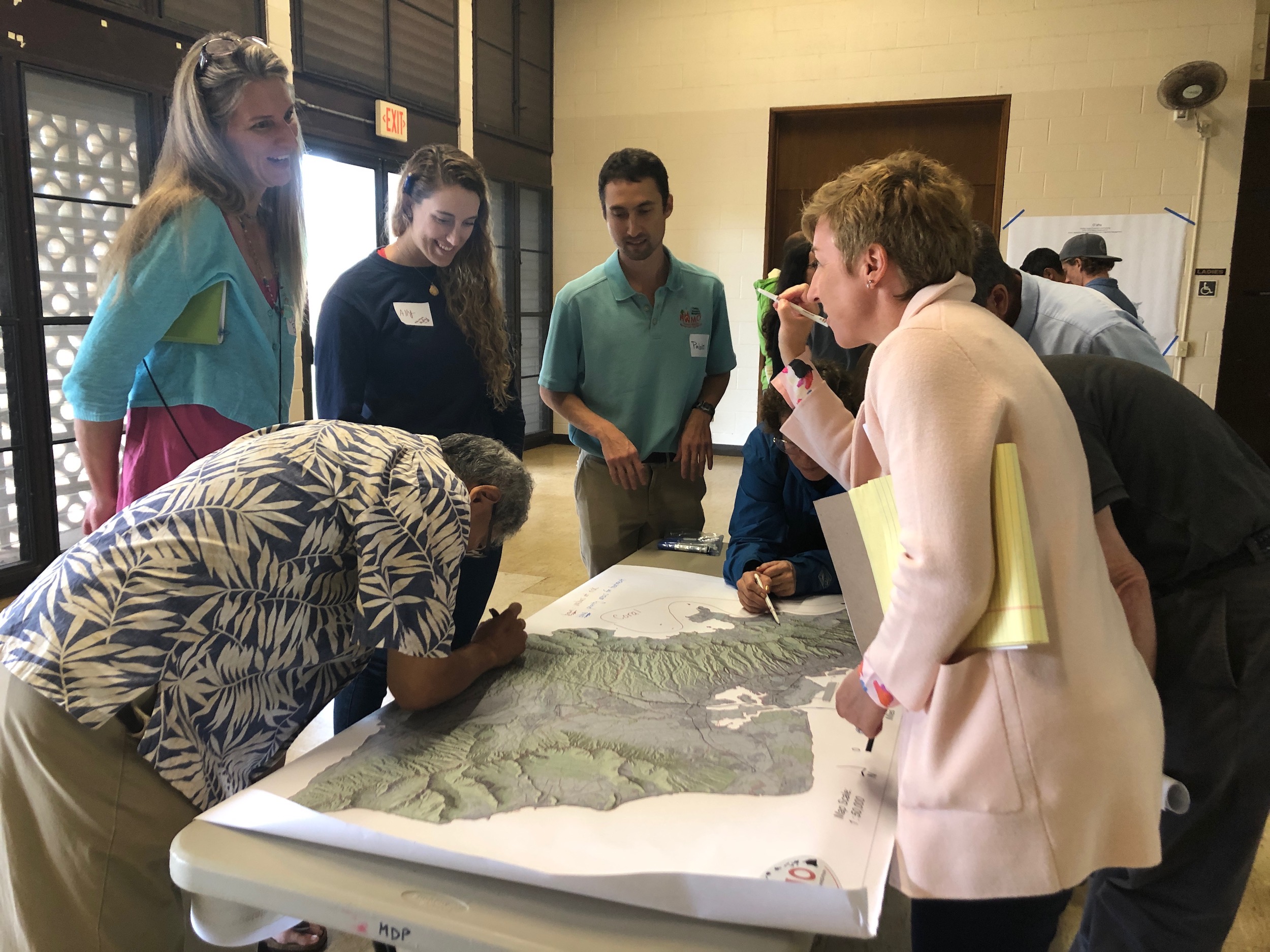
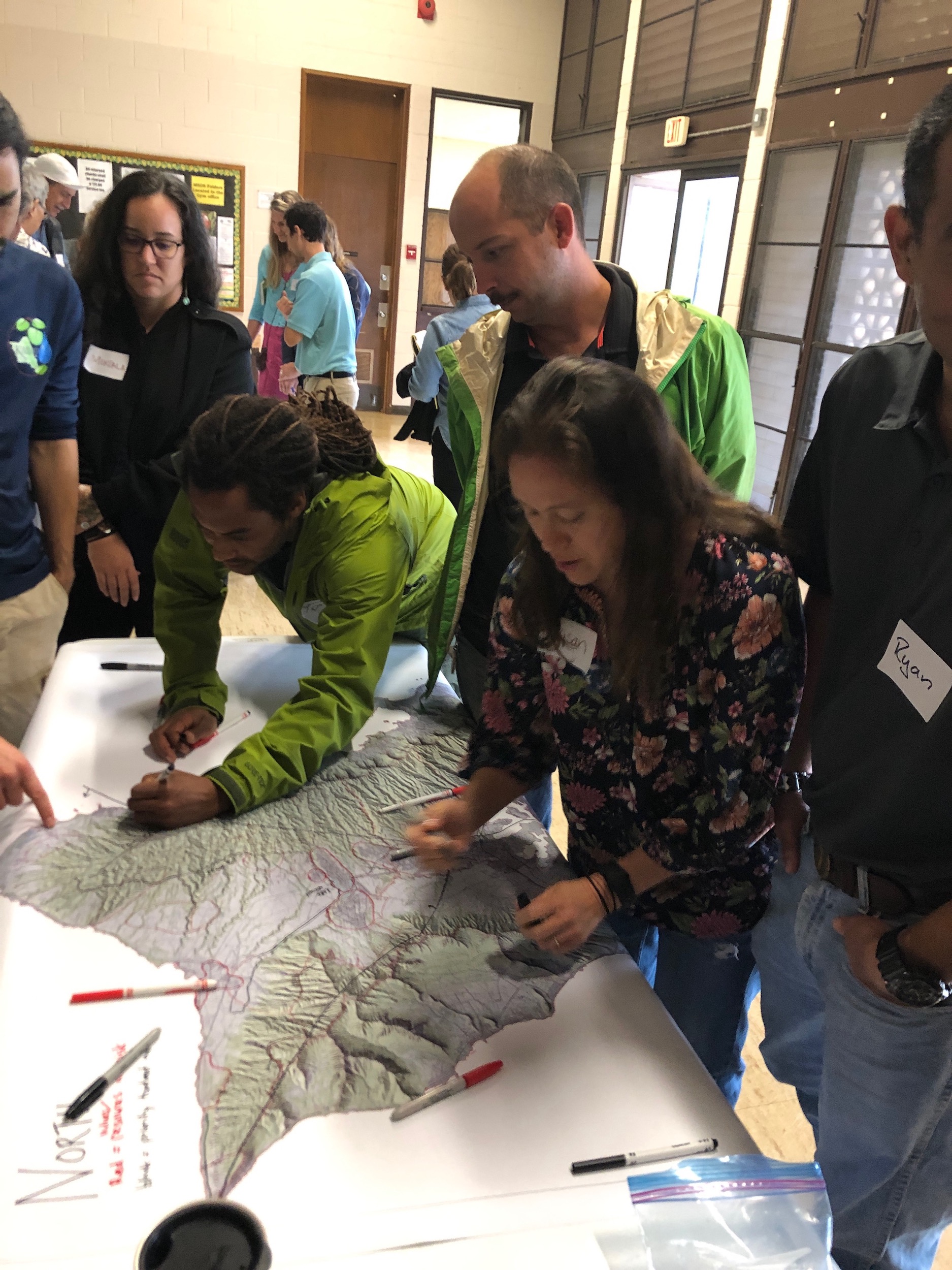
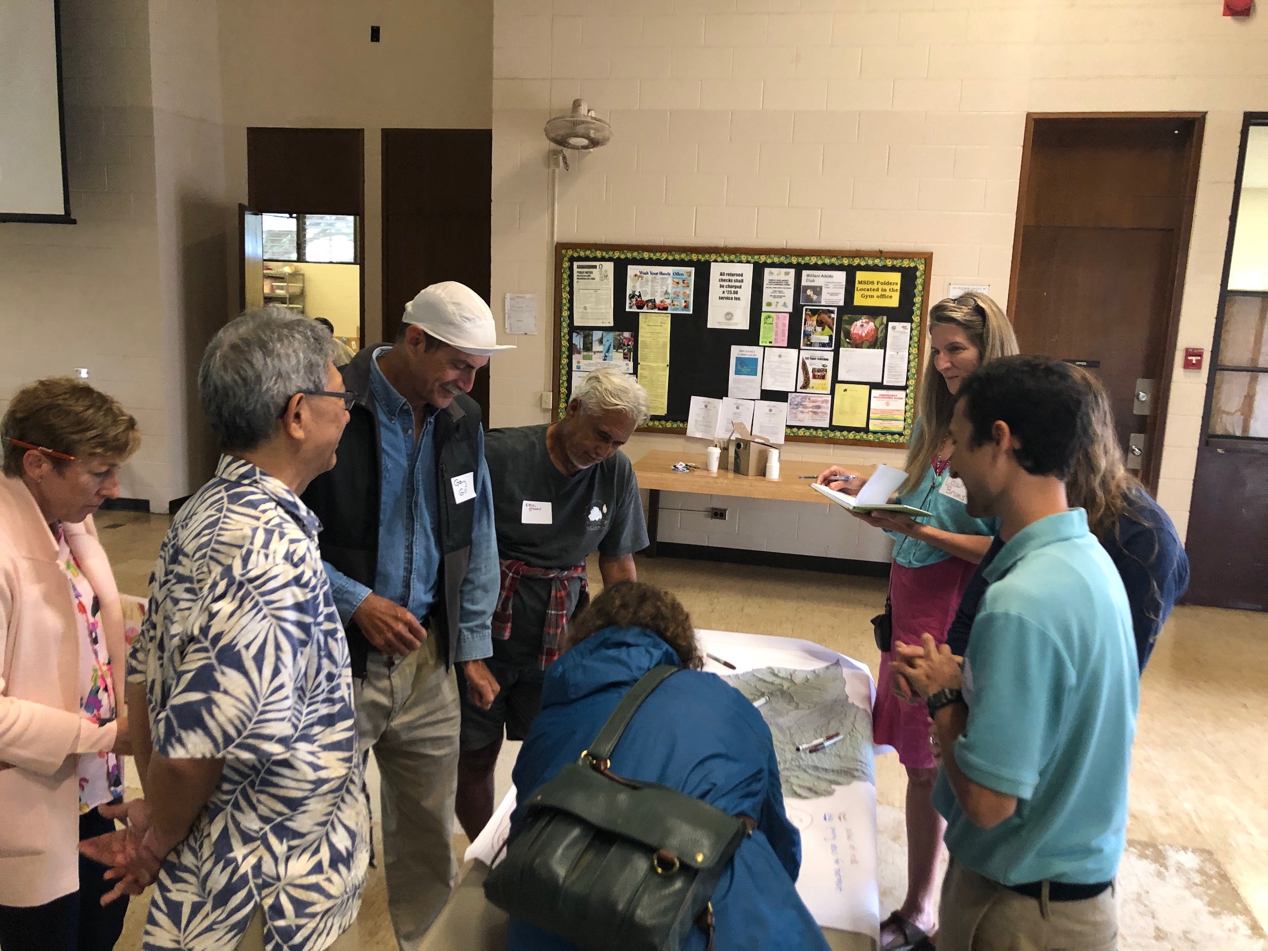
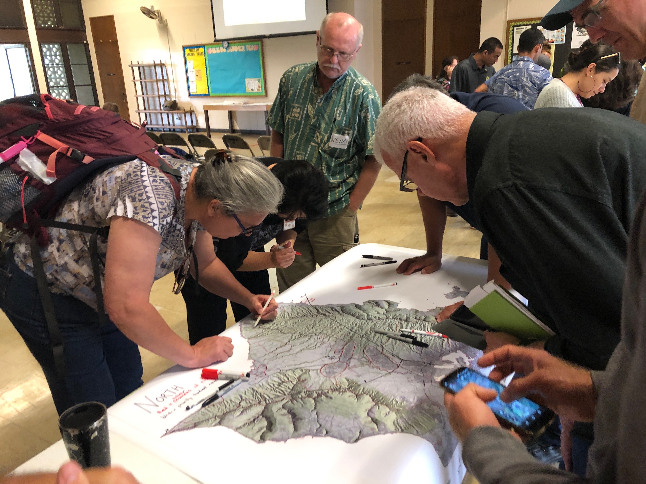
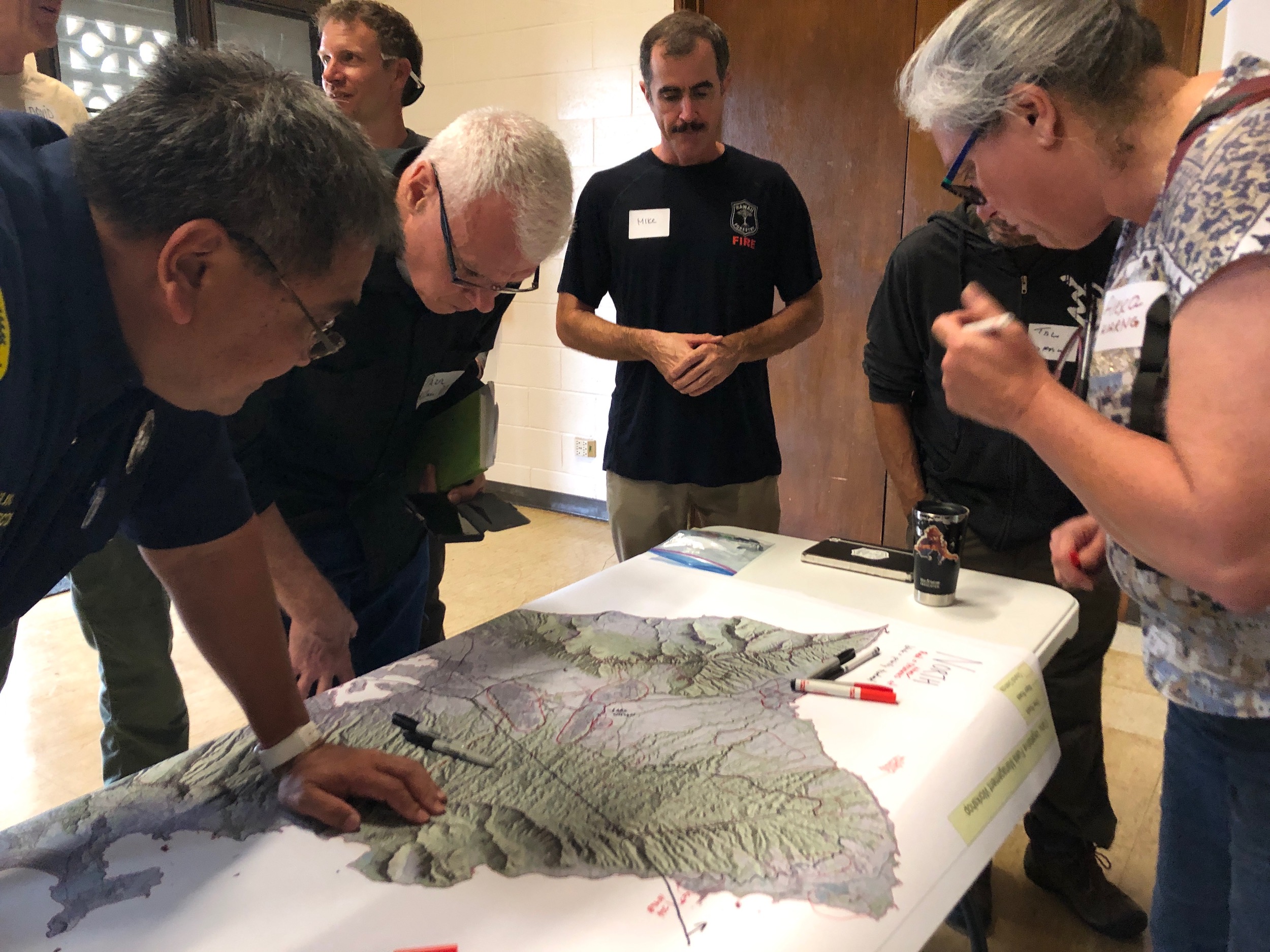
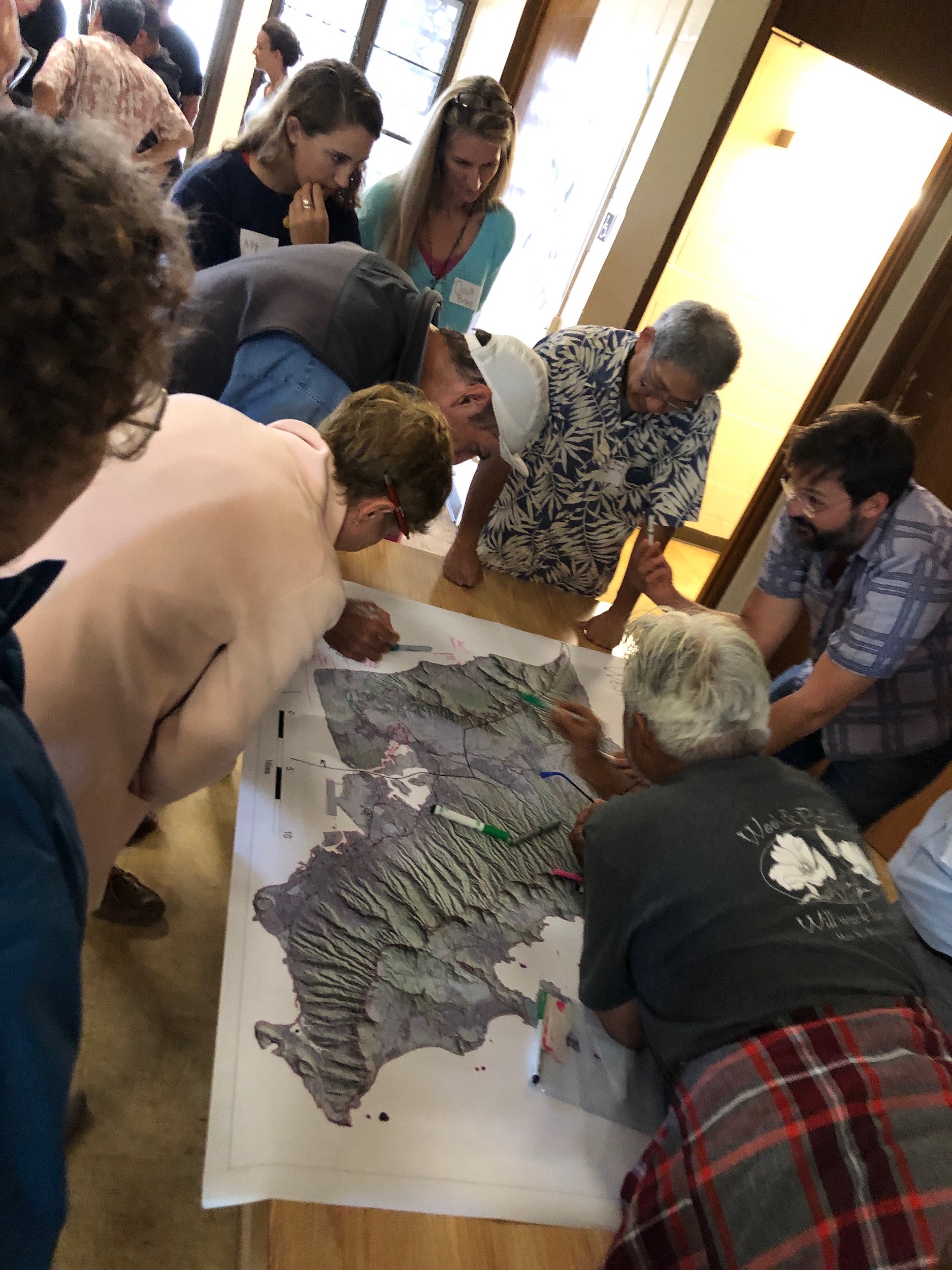
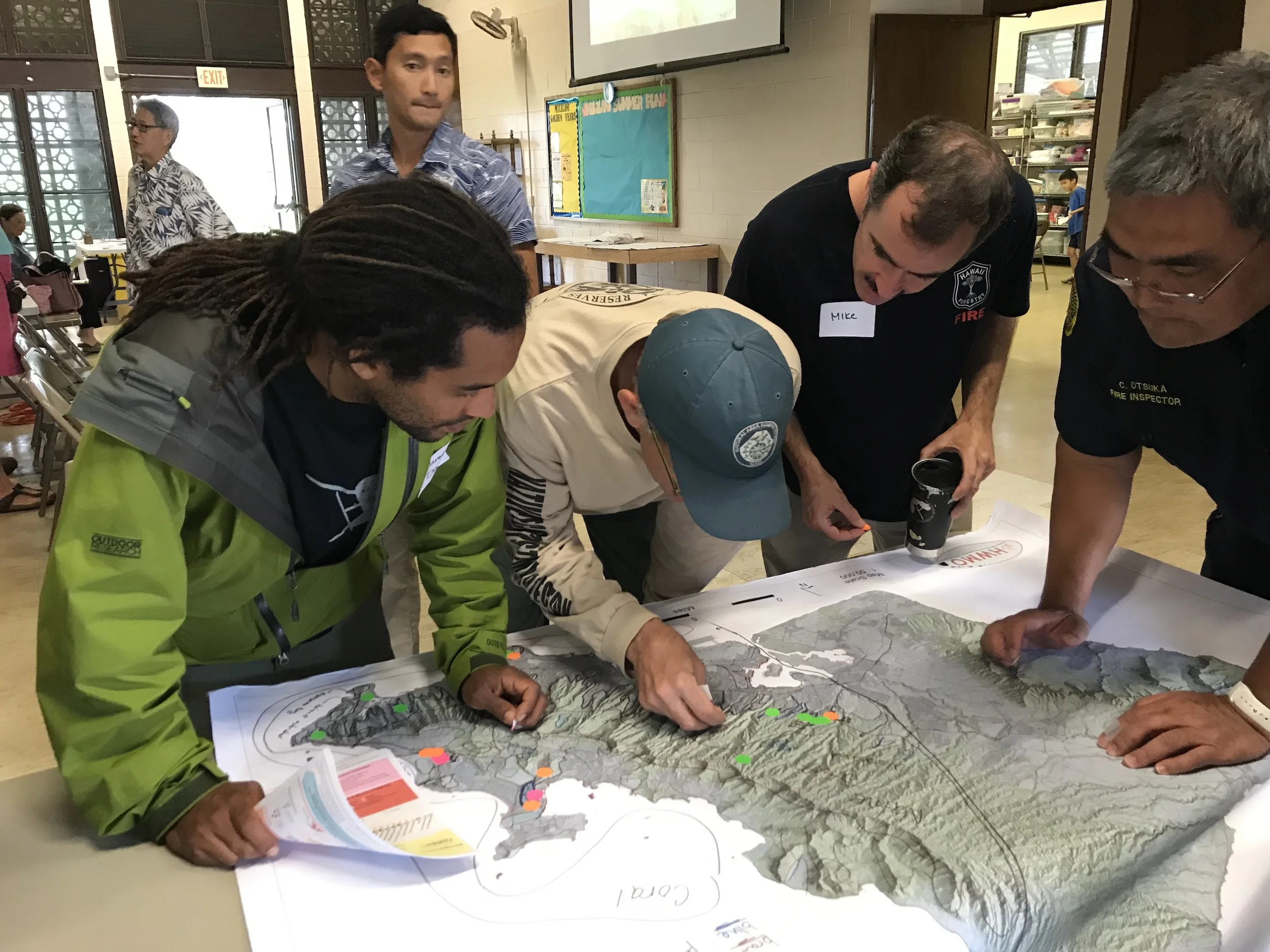
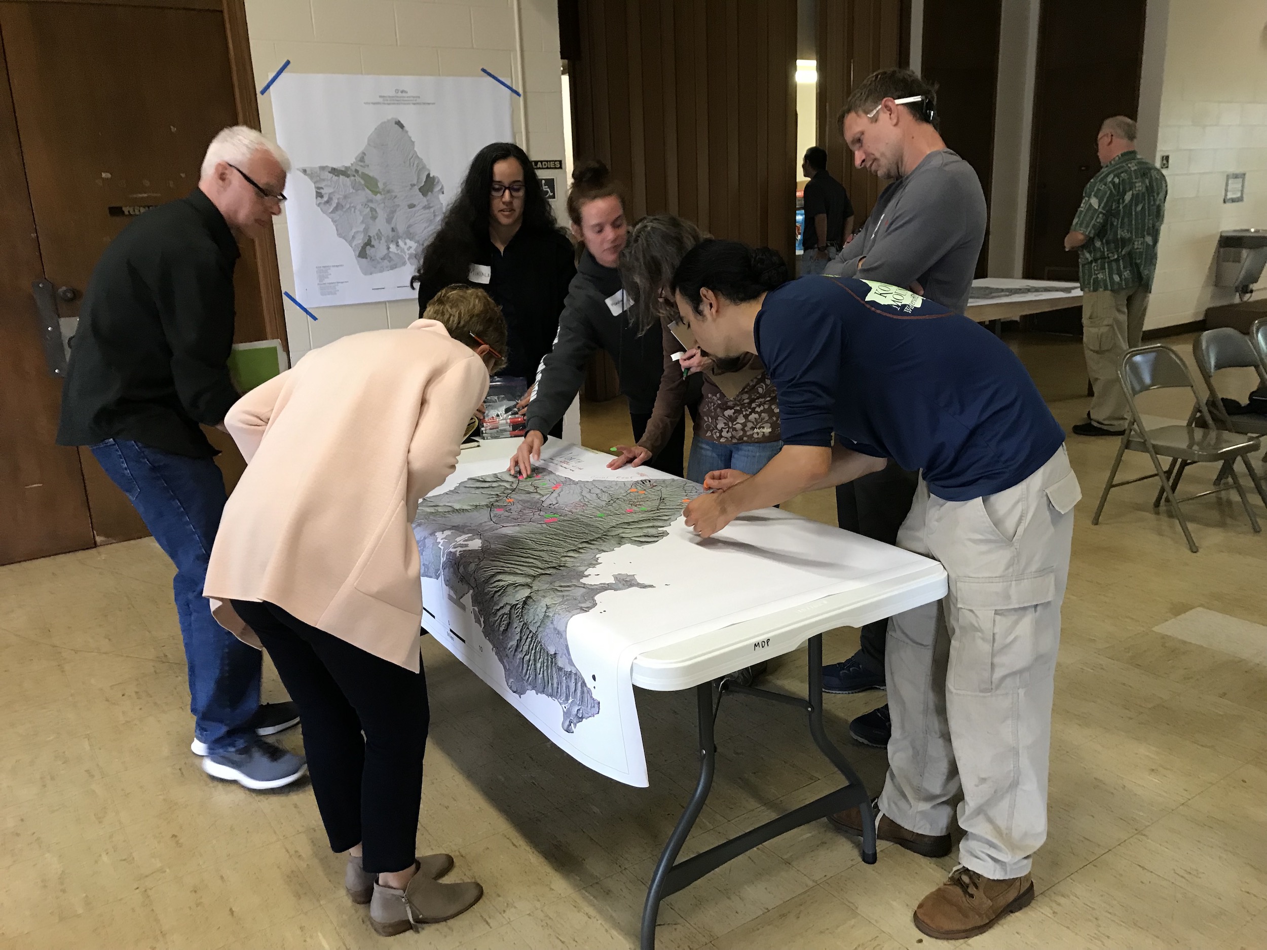
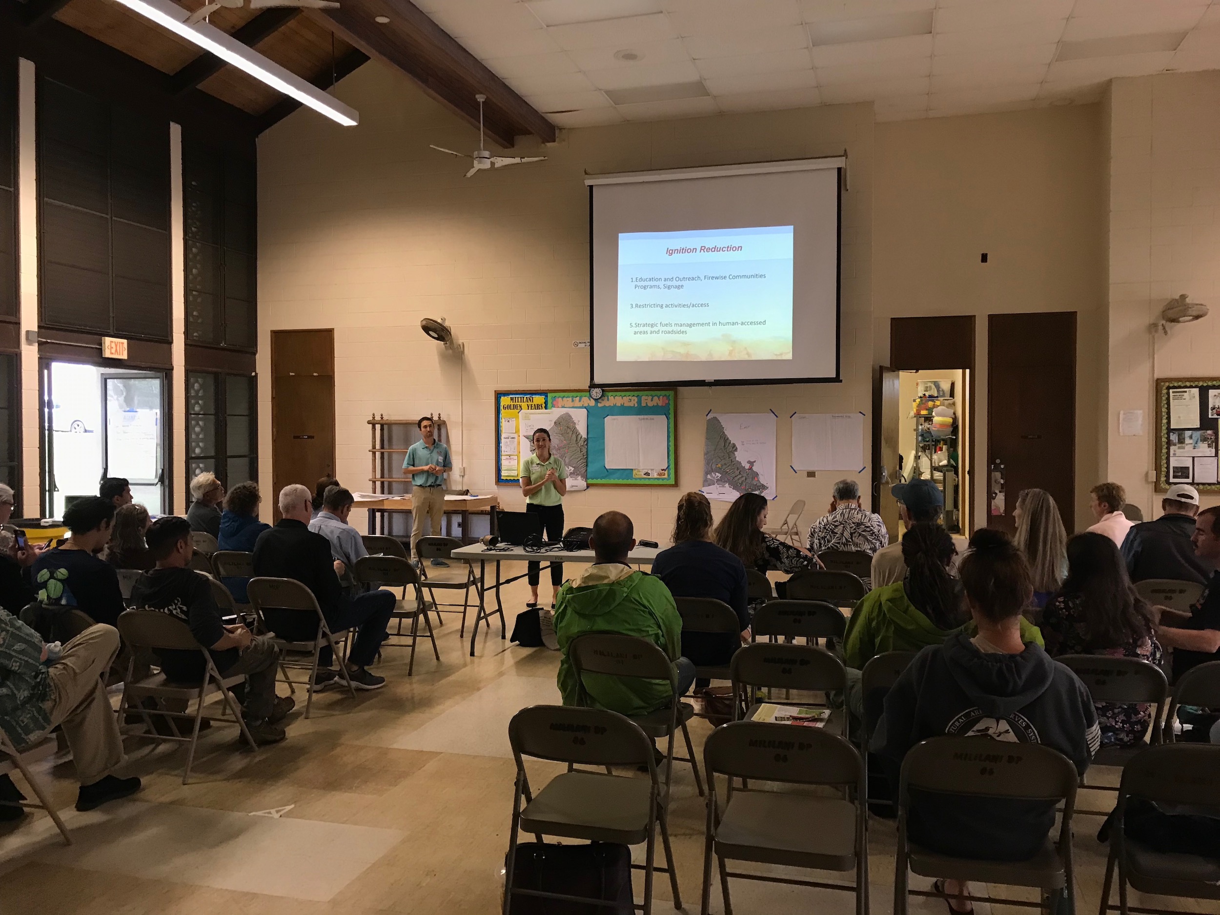
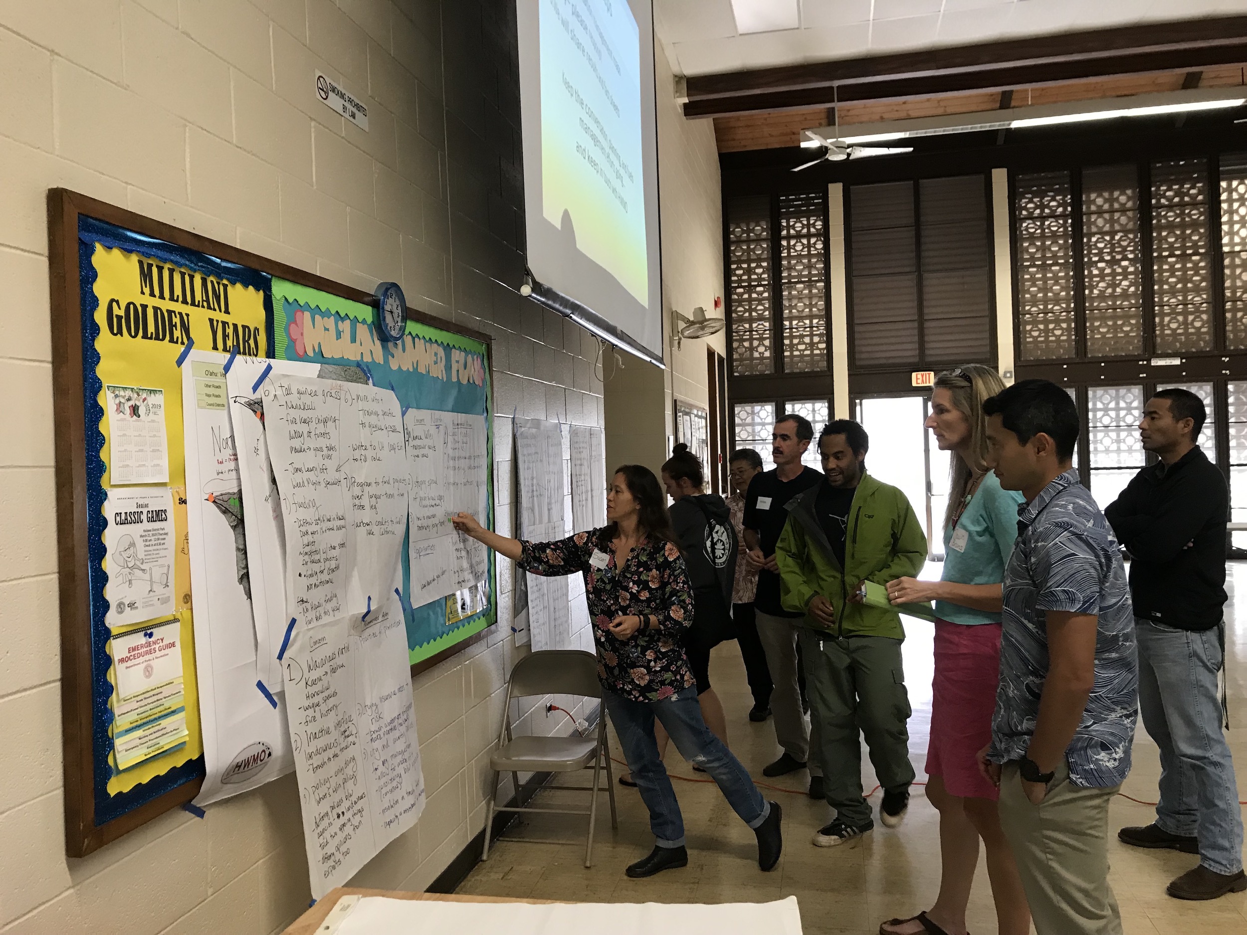
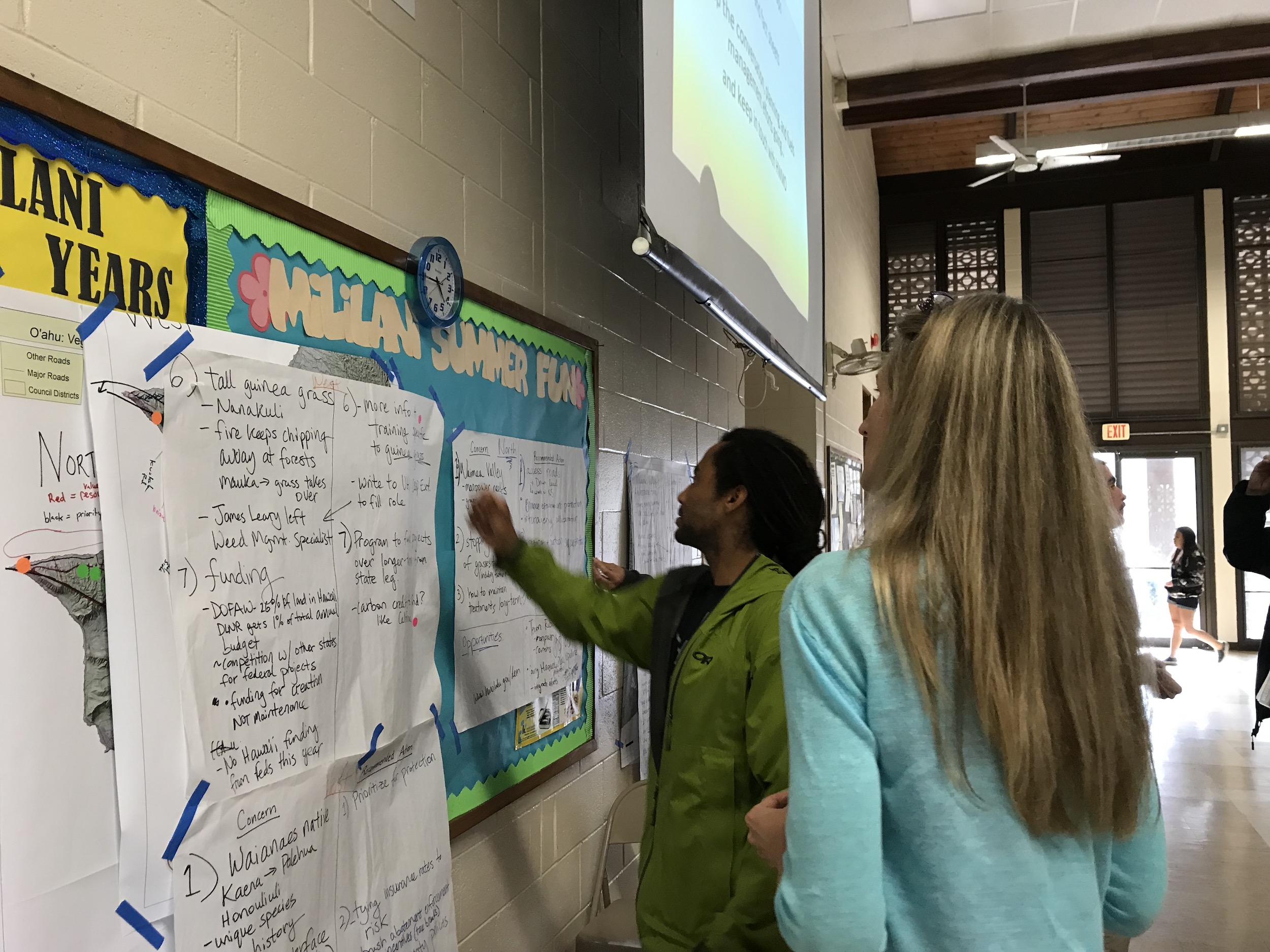
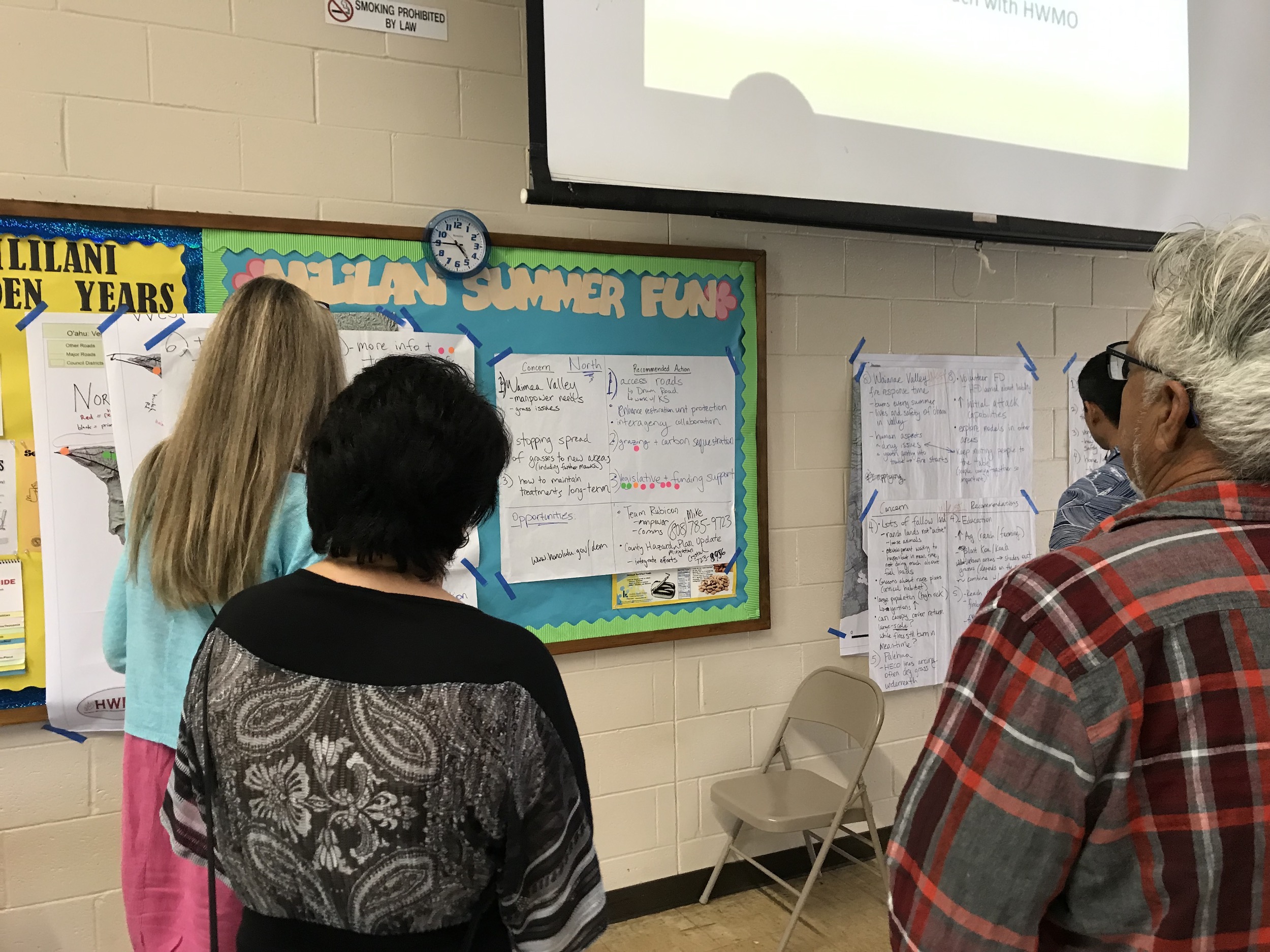
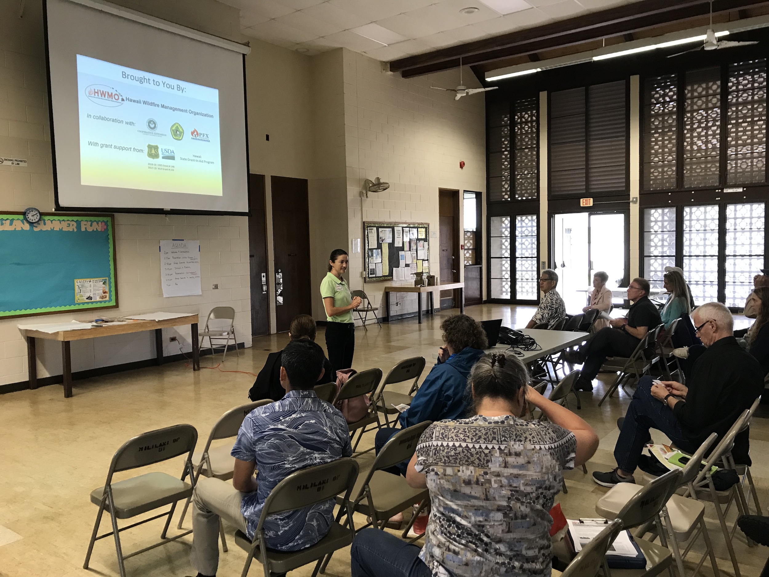
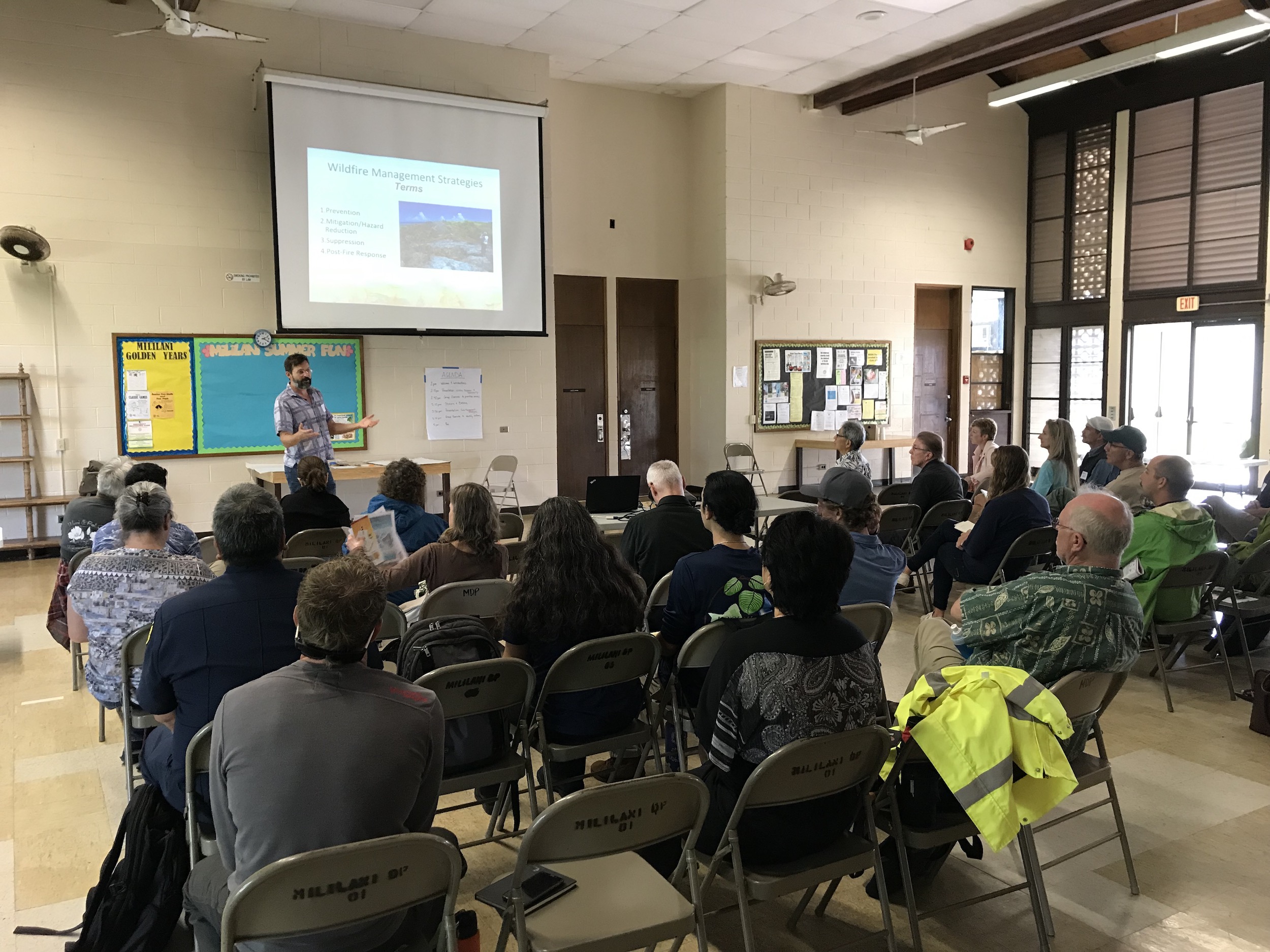
Fire follows fuel. On February 19 at the Mililani District Park, we convened a large group of 33 people on Oahu representing a patchwork of different agencies, groups, and organizations across a variety of fields to come together to plan for collaborative, large-scale vegetation management to reduce wildfire risks throughout the island. This was part of a series of workshops on Oahu, Kauai, and Hawaii Island we held in February on this matter (we had a similar meeting on Maui in 2018).

During the workshop, participants:

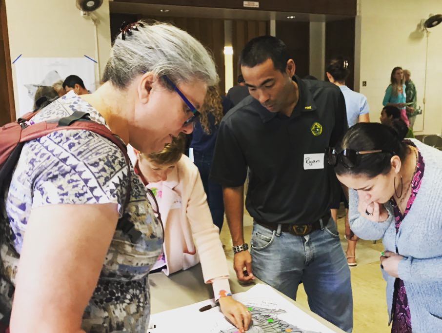
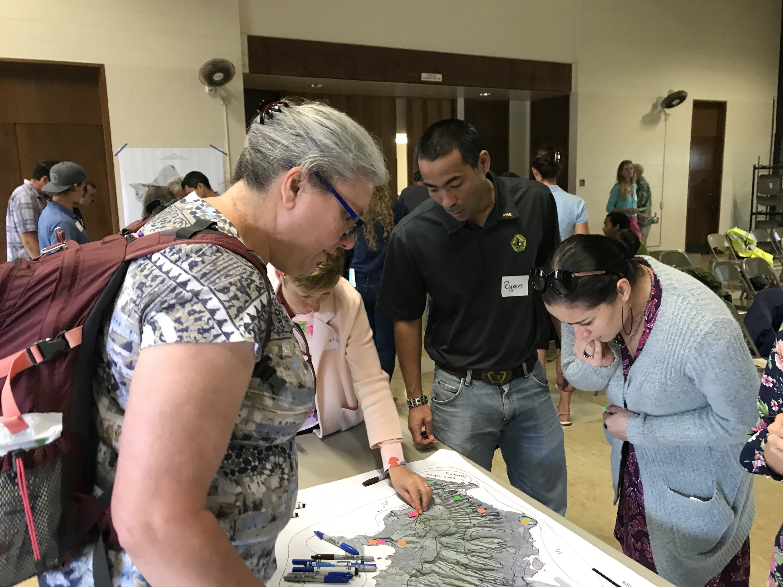
  • Checked out the results of recent efforts to map current management of hazardous vegetative fuels (thanks to all of the information that partners contributed).

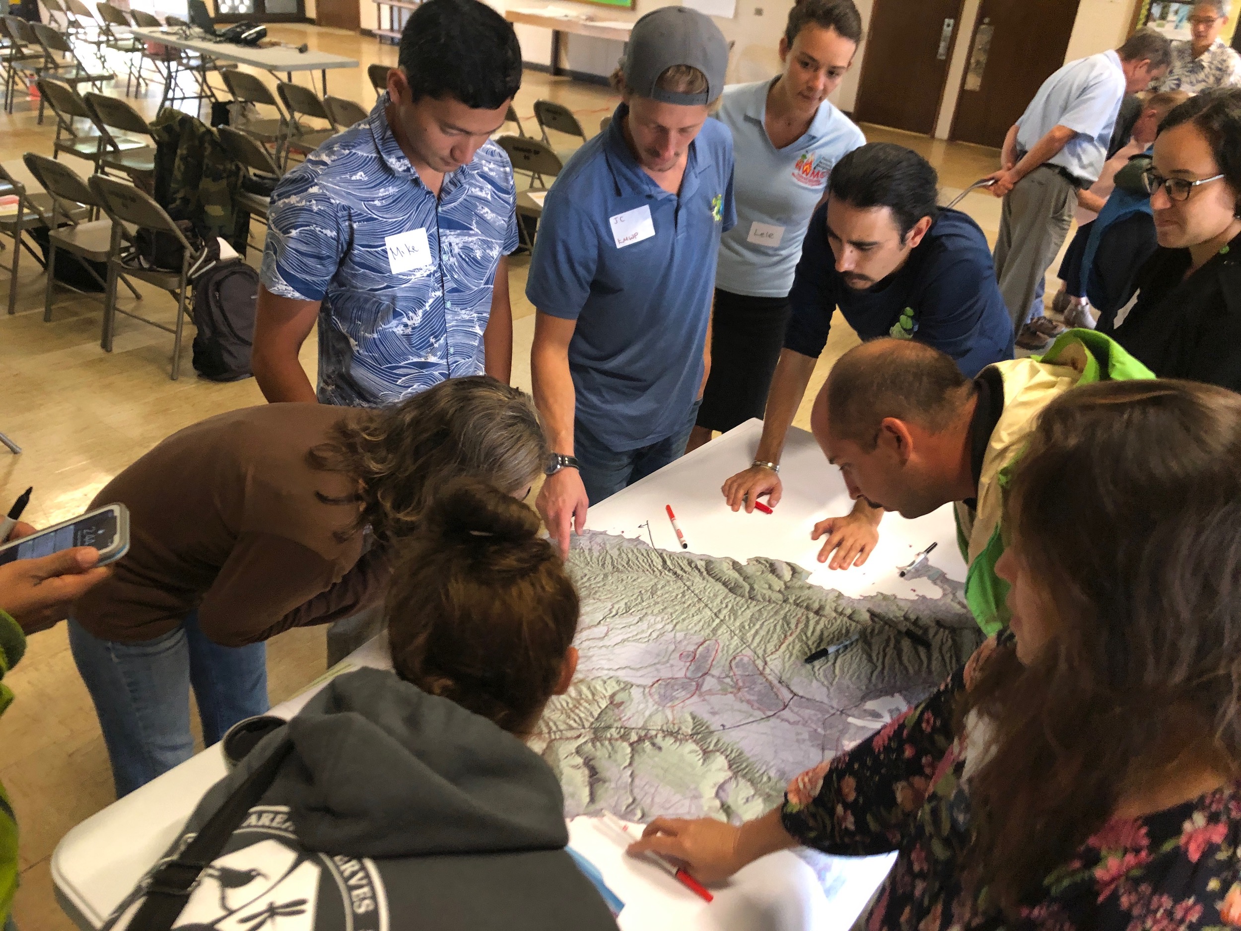
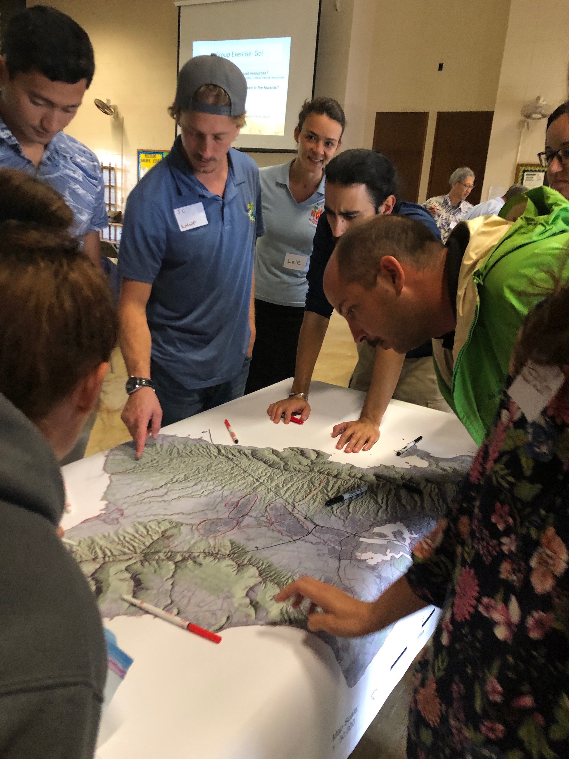
  • Identified and discussed shared regional fuels management priorities to mitigate the risks of wildfire across our island landscapes through a facilitated series of small and large group conversations.

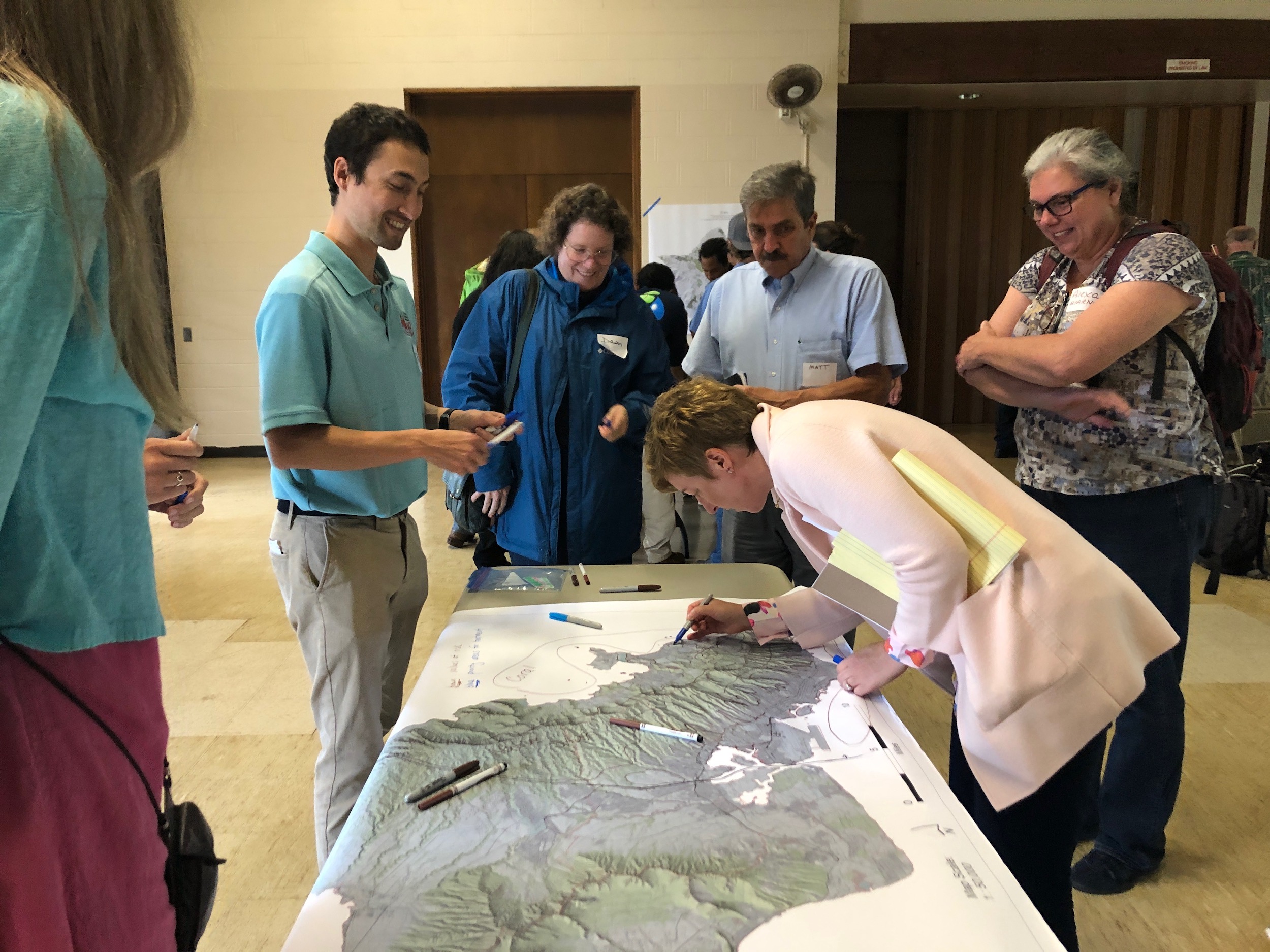
Marking values at risk and areas for fuels treatments.

Marking values at risk and areas for fuels treatments.

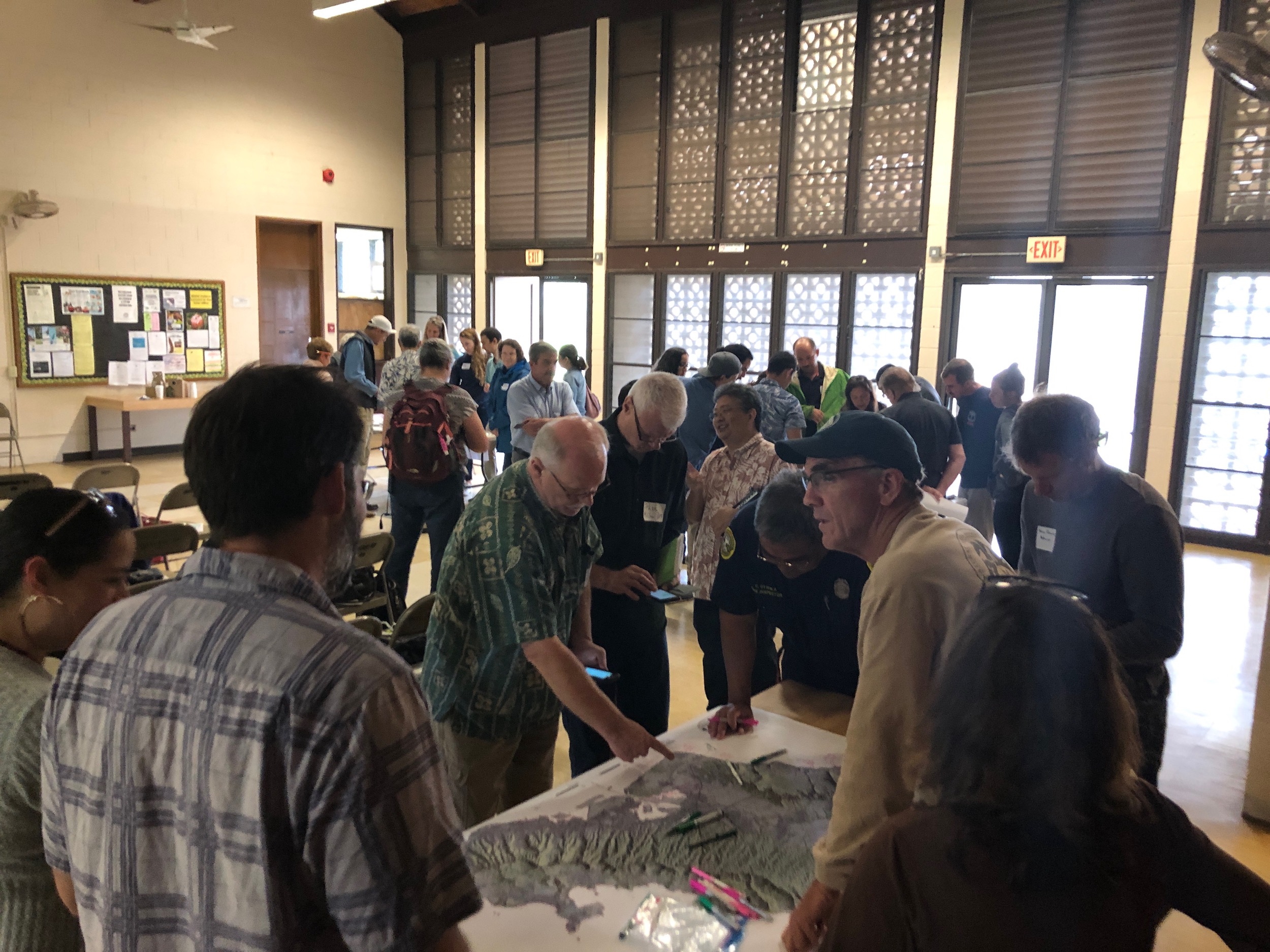
More identifying of key areas.

More identifying of key areas.

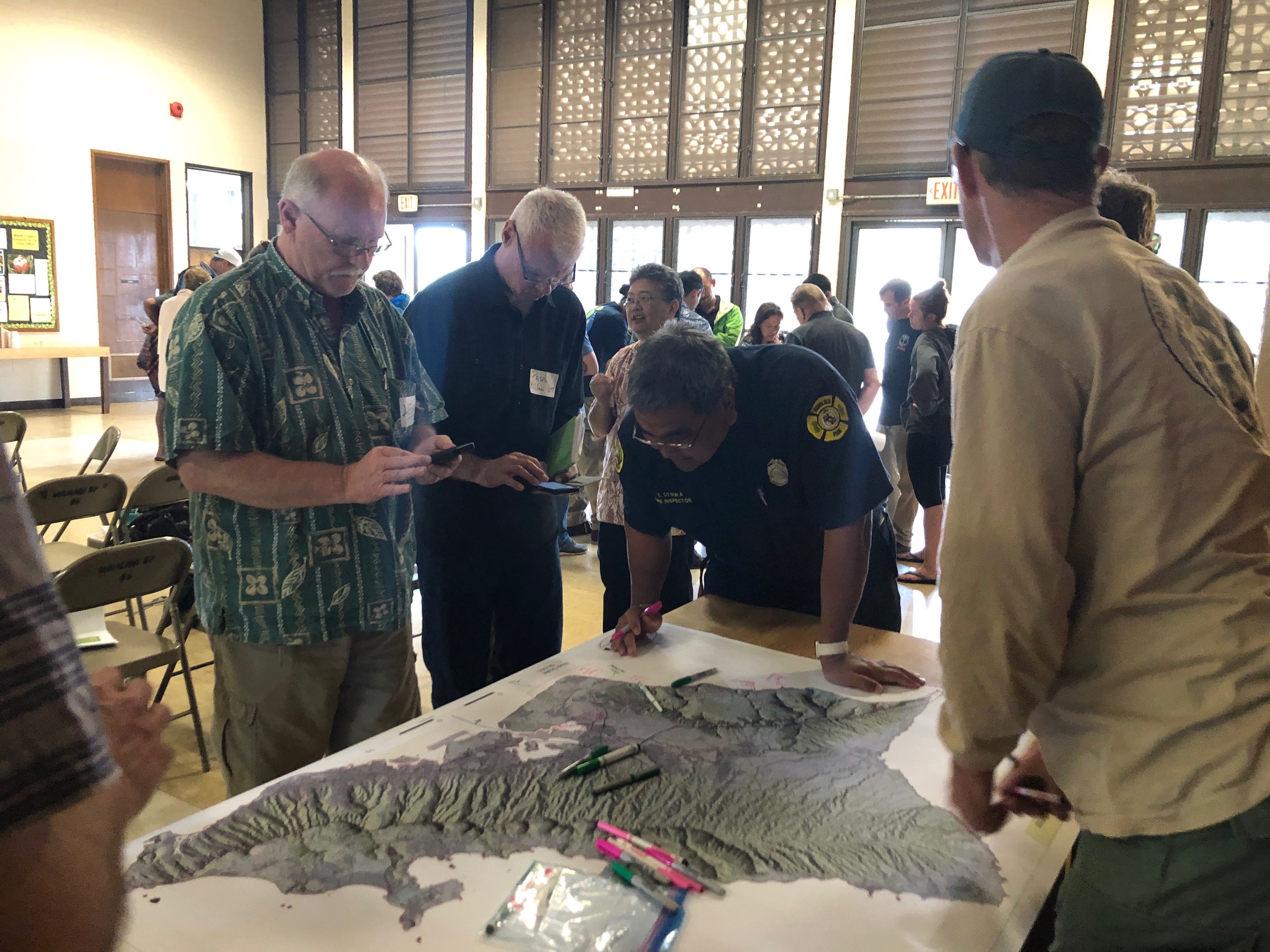
Voting for priority project ideas.

Voting for priority project ideas.

The knowledge and priorities of the participants will contribute to planning next steps in the ongoing collaboration to manage vegetative fuels to reduce wildfire and protect our communities and natural resources.

We are all in this together and it takes all of us!

Stay tuned via our website, social media, and e-newsletter (sign up at the bottom of this page) for final project-related products before this summer.

Mahalo DOFAW, UH CTAHR Cooperative Extension / Pacific Fire Exchange for co-organizing with us.

Oahu Vegetative Fuels Management Mapping Meeting with Dupont Pioneer

View of the North Shore from Dupont Pioneer in Waialua.

View of the North Shore from Dupont Pioneer in Waialua.

As a hub of wildfire protection efforts across the Hawaiian Islands, we are always looking for ways to bring people together to solve some of our most complex wicked problems. The Hawaiian Islands have been struggling with invasive species spread for decades, but now we are seeing what happens when invasive flammable plants take over the landscape and allow fires to spread more quickly and over larger areas. By controlling or managing flammable vegetation at the landscape-level, we can make great strides towards reducing the wildfire risk on our islands.

That’s why HWMO is coordinating a statewide vegetative fuels management mapping project — a rapid assessment to understand the vegetation management needs and priorities of landowners and land managers throughout the Hawaiian Islands. DLNR Division of Forestry and Wildlife and University of Hawaii CTAHR Cooperative Extension are key partners in the effort.

The vision for the project is that the resulting maps will lead to 1) better prioritization and communication of vegetative fuels management on the landscape-scale and 2) enhance project coordination between organizations and funding opportunities.

On December 14, we visited Dupont Pioneer in Waialua to map current and desired vegetation management activities. Activities could include any vegetation reduction or conversion projects such as roadside mowing, fuelbreaks, grazing rotations, clearing around structures or power poles, brush abatement or thinning, tree trimming, loi restoration, agriculture, and native forest restoration.

Oahu Vegetative Fuels Management Mapping Meetings

Overgrown flammable vegetation along roadsides in Makaha.

Overgrown flammable vegetation along roadsides in Makaha.

As a hub of wildfire protection efforts across the Hawaiian Islands, we are always looking for ways to bring people together to solve some of our most complex wicked problems. The Hawaiian Islands have been struggling with invasive species spread for decades, but now we are seeing what happens when invasive flammable plants take over the landscape and allow fires to spread more quickly and over larger areas. By controlling or managing flammable vegetation at the landscape-level, we can make great strides towards reducing the wildfire risk on our islands.

That’s why HWMO is coordinating a statewide vegetative fuels management mapping project — a rapid assessment to understand the vegetation management needs and priorities of landowners and land managers throughout the Hawaiian Islands. DLNR Division of Forestry and Wildlife and University of Hawaii CTAHR Cooperative Extension are key partners in the effort.

The vision for the project is that the resulting maps will lead to 1) better prioritization and communication of vegetative fuels management on the landscape-scale and 2) enhance project coordination between organizations and funding opportunities.

On October 18 and 19, Pablo Akira Beimler and Lele Kimball traveled to Oahu to meet with a variety of different large landowners to map current and desired vegetation management activities occurring on Oahu and Kauai. Activities could include any vegetation reduction or conversion projects such as roadside mowing, fuelbreaks, grazing rotations, clearing around structures or power poles, brush abatement or thinning, tree trimming, loi restoration, agriculture, and native forest restoration. Mahalo to State Parks, Olson Trust, Agriculture Development Corp., DHHL, Honolulu County Facilities Maintenance, and Dillingham Ranch for taking time to meet with us for this very important project!

Oahu Vegetative Fuels Management Mapping Workshops with DOFAW and WMWP

Mapping in action!

Mapping in action!

As a hub of wildfire protection efforts across the Hawaiian Islands, we are always looking for ways to bring people together to solve some of our most complex wicked problems. The Hawaiian Islands have been struggling with invasive species spread for decades, but now we are seeing what happens when invasive flammable plants take over the landscape and allow fires to spread more quickly and over larger areas. By controlling or managing flammable vegetation at the landscape-level, we can make great strides towards reducing the wildfire risk on our islands.

That’s why HWMO is coordinating a statewide vegetative fuels management mapping project — a rapid assessment to understand the vegetation management needs and priorities of landowners and land managers throughout the Hawaiian Islands. DLNR Division of Forestry and Wildlife and University of Hawaii CTAHR Cooperative Extension are key partners in the effort.

The vision for the project is that the resulting maps will lead to 1) better prioritization and communication of vegetative fuels management on the landscape-scale and 2) enhance project coordination between organizations and funding opportunities.

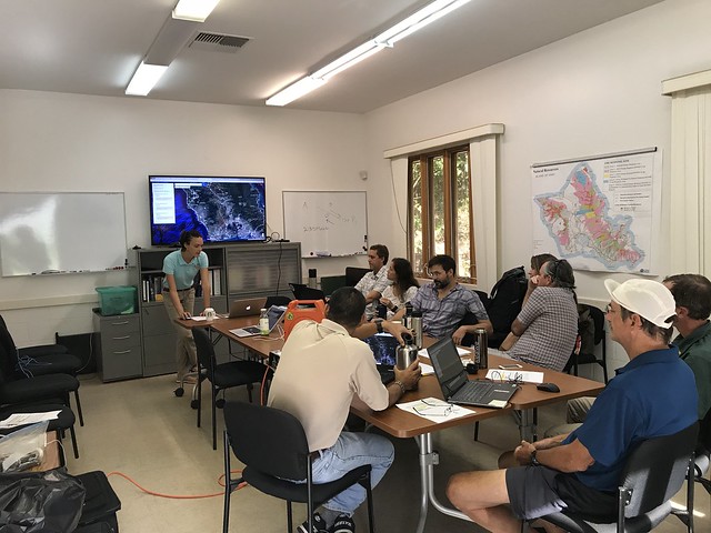
On September 25, we joined up with DOFAW and Waianae Mountains Watershed Partnership (WMWP) for back-to-back workshops to map current and desired vegetation management activities on Oahu. Activities could include any vegetation reduction or conversion projects such as roadside mowing, fuelbreaks, grazing rotations, clearing around structures or power poles, brush abatement or thinning, tree trimming, loi restoration, agriculture, and native forest restoration. The workshop took place at the DOFAW Makiki office at the foot of the beautiful Makiki Valley.

Oahu DLNR and WMWP Vegetative Fuels Management Mapping Worshops 9/25/18

Waianae Mountains Watershed Partnership Meeting Presentation

View of the wildland-urban interface of West Oahu from atop Palehua.

View of the wildland-urban interface of West Oahu from atop Palehua.

HWMO’s Community Outreach Coordinator, Pablo Beimler, met with Waianae Mountains Watershed Partnership on June 26 in Palehua on the leeward slopes of the Waianae Mountains in West Oahu. Pablo presented and introduced to the group the vegetative fuels management mapping project HWMO was coordinating to improve landscape-level prioritization, collaboration, and funding capabilities of fuels management. HWMO will be working with the partnership to hold a workshop in the coming months to gather data for the project.

Banner photo: Conservation managers, members of the Waianae Mountains Watershed Partnership, assess damages to the native forest preserve areas after the Nanakuli Fire in 2016. Photo credit: Dr. Clay Trauernicht, UH CTAHR Cooperative Extension

Kamilonui-Mariner's Cove Firewise Work Days 2018

Senator Stanley Chang and Janae teaming up against a particularly heavy tree trunk.

Senator Stanley Chang and Janae teaming up against a particularly heavy tree trunk.

Kamilonui Valley-Mariner's Cove is well on their way towards becoming the first Firewise Community in eastern Oahu this year. Check out their latest community work efforts which HWMO has been supporting, including through a $2,000 U.S. Forest Service grant we have provided for an extra boost of vegetation clearance to reduce wildfire risk. Livable Hawaii Kai Hui, Senator Stanley Chang's Office, and Aloha Aina O Kamilo Nui  have played critical roles in this effort along with the residents who have taken charge to protect their community from wildfire. We love to see this kind of community-based initiative and action!

"On June 23rd, we had a volunteer day at our Target Area 1, the end of Kamilonui Place (nursery road).  Some work was done earlier in the week by the women’s correctional facility volunteers.  Thanks to Ama for bringing them out to help!  On the 23rd we had Mariner’s Cove volunteers help clear what the women had cut down.  Sergio from Tropical Tree Services, LLC, and our neighbor in Kamilonui Valley, has been chipping as we drag haole koa and other trees out of the firebreak zone. What is left to do in that area includes weed whacking, treating trees so they do not grow back, and bagging any random opala exposed."
The community continued the work on July 7th by dragging all cut wood out for chipping.

The June 23 group hard at work.

The June 23 group hard at work.

Celebrating a job well done.

Celebrating a job well done.

"Target Area 2 is located on the closed section of Hawaii Kai Drive behind the Mariner’s Cove homes on Niumalu Loop.  This was also an area where there were several fires last year.  We now have a plan in place to get this cleared! The landowner has agreed to provide us with dumpsters.  Once the timing of the dumpsters and chipping has been arranged we will send out a volunteer work day reminder to Mariner’s Cove residents.  We are hoping all of these efforts will result in less fires in the valley this summer.

BIG mahalo to Sergio (Tropical Tree Service) for helping chip what is cut and curbside

Mahalo to Lenoard for helping secure dumpsters

Mahalo to Ama and the WCCC Aina Angels"

Photo Credits: Elizabeth Reilly / Livable Hawaii Kai Hui
Before of Target Area 1

Before of Target Area 1

Before of Target Area 2

Before of Target Area 2

Another community work crew hard at work!

Another community work crew hard at work!

Waianae Coast Disaster Readiness Fair 2018

HWMO’s Pablo Akira Beimler traveled to Waianae to set up an outreach table at the Waianae Coast Disaster Readiness Fair. The event was organized by the Waianae Coast Disaster Readiness Team who is doing incredible work in the community to better prepare Waianae residents for emergencies. At the Waianae Mall event on June 2, we handed out ReadySetGo! wildland fire action guides, Firewise Communities information, keiki swag, and more.
Waianae Coast Disaster Readiness Fair 6/2/18