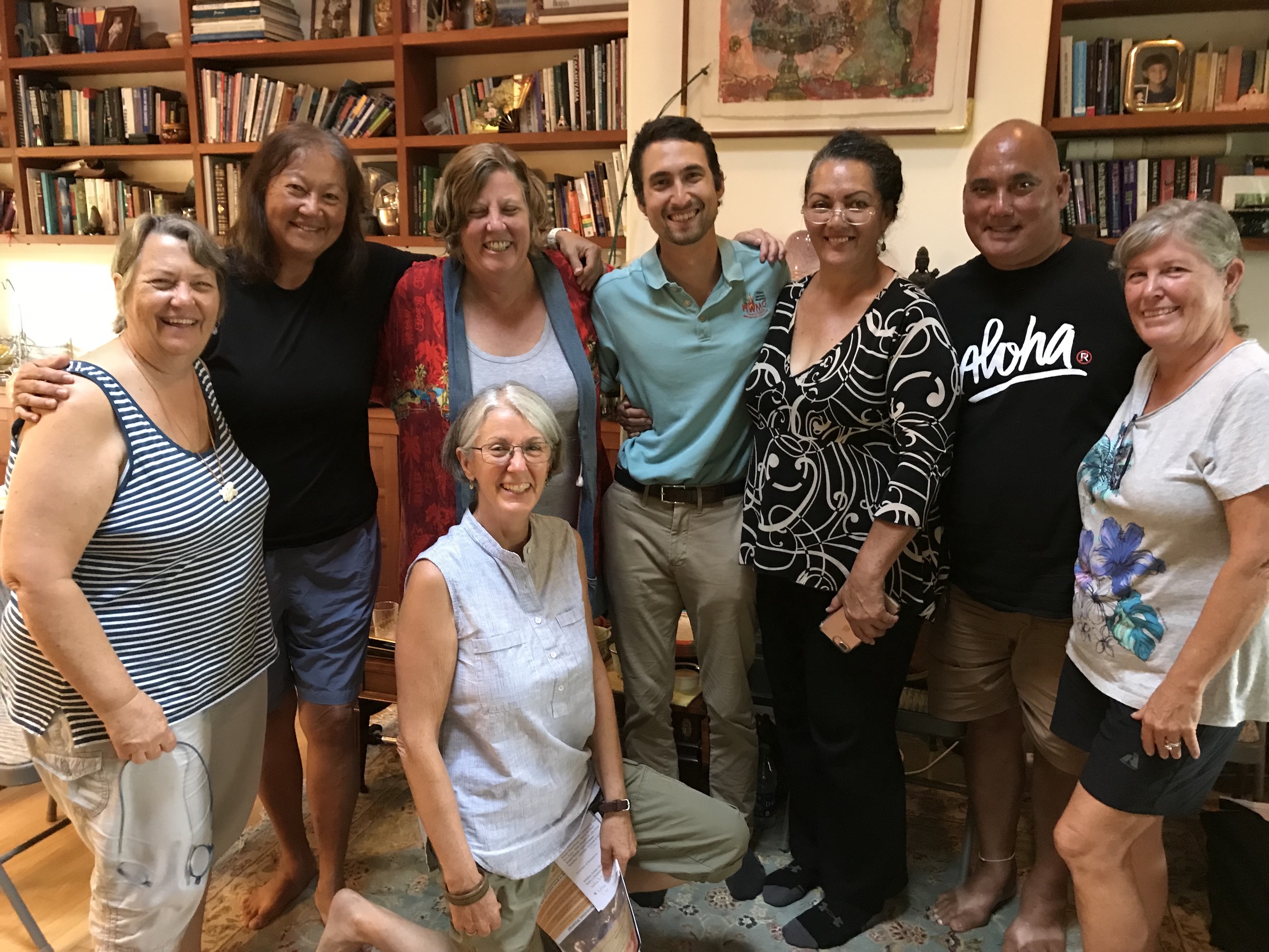
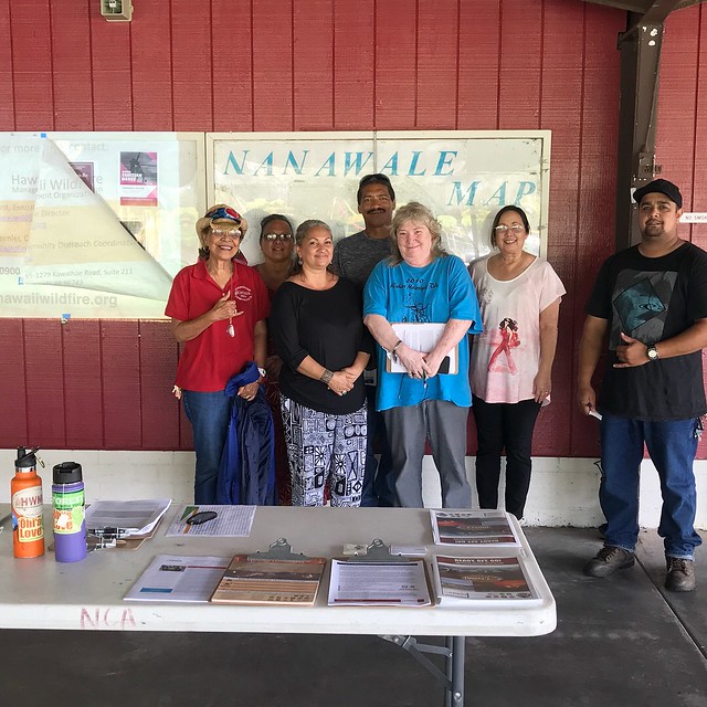
This year has been a particularly stressful one for Kamilonui Valley Farm Lots and Mariner’s Cove residents. Over a dozen suspicious fire starts, a few that grew into larger fires, had burned close to the community in the first half of 2017. Since then, the community has been charged to take action. HWMO linked with Livable Hawaii Kai Hui and Senator Stanley Chang’s Office to organize a community-wide Firewise hazard assessment on November 27. Together with representatives from DLNR Division of Forestry and Wildlife (DOFAW), Hawaii Kai Neighborhood Board, Royal Contracting, and Kamilonui Farm Lots, the working group walked and drove around the community to examine common wildfire hazards and areas for potential wildfire risk reduction projects.
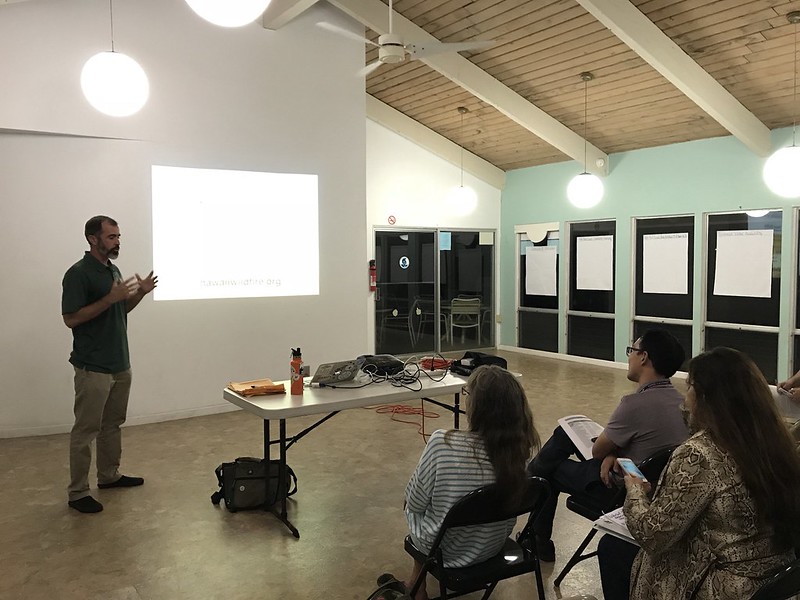
The assessment team first convened at the Mariner’s Cove Bay Club to map out an itinerary for the day, determine priority community areas to examine on the field assessment, and establish boundaries for the Firewise Community designation. Following the meeting, the team walked along an access road off of Hawaii Kai Drive, visited Pahua Heiau, and caravanned to the end of Kamilonui Place to examine the wildland area in the back of the valley. Along with these priority areas, the team also visited a home to conduct a “Home Ignition Zone” assessment to gain a better idea of the wildfire hazards at the individual lot level and pull locally-relevant examples of best practices for creating defensible space and fire-proofing structures.


