Vegetation Management Map

Oahu Vegetative Fuels Management Mapping Workshops with DOFAW and WMWP

Mapping in action!

Mapping in action!

As a hub of wildfire protection efforts across the Hawaiian Islands, we are always looking for ways to bring people together to solve some of our most complex wicked problems. The Hawaiian Islands have been struggling with invasive species spread for decades, but now we are seeing what happens when invasive flammable plants take over the landscape and allow fires to spread more quickly and over larger areas. By controlling or managing flammable vegetation at the landscape-level, we can make great strides towards reducing the wildfire risk on our islands.

That’s why HWMO is coordinating a statewide vegetative fuels management mapping project — a rapid assessment to understand the vegetation management needs and priorities of landowners and land managers throughout the Hawaiian Islands. DLNR Division of Forestry and Wildlife and University of Hawaii CTAHR Cooperative Extension are key partners in the effort.

The vision for the project is that the resulting maps will lead to 1) better prioritization and communication of vegetative fuels management on the landscape-scale and 2) enhance project coordination between organizations and funding opportunities.

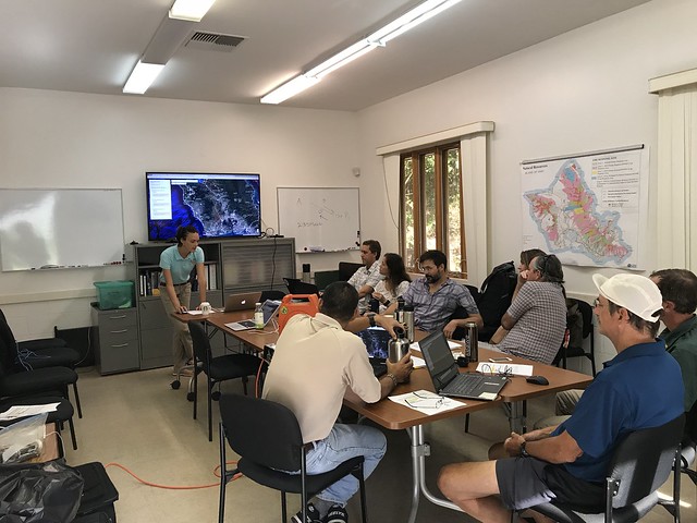
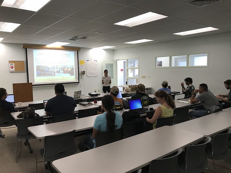
On September 25, we joined up with DOFAW and Waianae Mountains Watershed Partnership (WMWP) for back-to-back workshops to map current and desired vegetation management activities on Oahu. Activities could include any vegetation reduction or conversion projects such as roadside mowing, fuelbreaks, grazing rotations, clearing around structures or power poles, brush abatement or thinning, tree trimming, loi restoration, agriculture, and native forest restoration. The workshop took place at the DOFAW Makiki office at the foot of the beautiful Makiki Valley.

Oahu DLNR and WMWP Vegetative Fuels Management Mapping Worshops 9/25/18

Hilo Vegetative Fuels Management Mapping Workshop with DOFAW

Mapping with DOFAW representatives in Hilo.

Mapping with DOFAW representatives in Hilo.

As a hub of wildfire protection efforts across the Hawaiian Islands, we are always looking for ways to bring people together to solve some of our most complex wicked problems. The Hawaiian Islands have been struggling with invasive species spread for decades, but now we are seeing what happens when invasive flammable plants take over the landscape and allow fires to spread more quickly and over larger areas. By controlling or managing flammable vegetation at the landscape-level, we can make great strides towards reducing the wildfire risk on our islands.

That’s why HWMO is coordinating a statewide vegetative fuels management mapping project — a rapid assessment to understand the vegetation management needs and priorities of landowners and land managers throughout the Hawaiian Islands. DLNR Division of Forestry and Wildlife (DOFAW) and University of Hawaii CTAHR Cooperative Extension are key partners in the effort.

The vision for the project is that the resulting maps will lead to 1) better prioritization and communication of vegetative fuels management on the landscape-scale and 2) enhance project coordination between organizations and funding opportunities.

On September 18, we linked up with DOFAW for a workshop in Hilo to map current and desired vegetation management activities. Activities could include any vegetation reduction or conversion projects such as roadside mowing, fuelbreaks, grazing rotations, clearing around structures or power poles, brush abatement or thinning, tree trimming, loi restoration, agriculture, and native forest restoration.

Hilo Vegetative Fuels Management Mapping Workshop with DOFAW 9/18/18

Maui Vegetative Fuels Management Mapping Meetings and LHWRP Workshop

Mapping with Lance De Silva of DOFAW.

Mapping with Lance De Silva of DOFAW.

As a hub of wildfire protection efforts across the Hawaiian Islands, we are always looking for ways to bring people together to solve some of our most complex wicked problems. The Hawaiian Islands have been struggling with invasive species spread for decades, but now we are seeing what happens when invasive flammable plants take over the landscape and allow fires to spread more quickly and over larger areas. By controlling or managing flammable vegetation at the landscape-level, we can make great strides towards reducing the wildfire risk on our islands.

That’s why HWMO is coordinating a statewide vegetative fuels management mapping project — a rapid assessment to understand the vegetation management needs and priorities of landowners and land managers throughout the Hawaiian Islands. DLNR Division of Forestry and Wildlife and University of Hawaii CTAHR Cooperative Extension are key partners in the effort.

The vision for the project is that the resulting maps will lead to 1) better prioritization and communication of vegetative fuels management on the landscape-scale and 2) enhance project coordination between organizations and funding opportunities.

Mapping at the LHWRP office with members of the ranching community on Maui.

Mapping at the LHWRP office with members of the ranching community on Maui.

On June 16 and 17, we had a series of meetings with DOFAW, Alexander & Baldwin, Hana Ranch, and DHHL to map current and desired vegetation management activities in Maui Nui. Activities could include any vegetation reduction or conversion projects such as roadside mowing, fuelbreaks, grazing rotations, clearing around structures or power poles, brush abatement or thinning, tree trimming, loi restoration, agriculture, and native forest restoration. On June 18, we held a workshop in conjunction with Leeward Haleakala Watershed Partnership to gather more data, especially in regards to restoration efforts and grazing areas.

Oahu and Maui Vegetative Fuels Management Mapping Tour

Mapping workshop introduction and Google My Maps Tutorial by Lele Kimball at the Oahu workshop.

Mapping workshop introduction and Google My Maps Tutorial by Lele Kimball at the Oahu workshop.

As a hub of wildfire protection efforts across the Hawaiian Islands, we are always looking for ways to bring people together to solve some of our most complex wicked problems. The Hawaiian Islands have been struggling with invasive species spread for decades, but now we are seeing what happens when invasive flammable plants take over the landscape and allow fires to spread more quickly and over larger areas. By controlling or managing flammable vegetation at the landscape-level, we can make great strides towards reducing the wildfire risk on our islands.

That’s why HWMO is coordinating a statewide vegetative fuels management mapping project — a rapid assessment to understand the vegetation management needs and priorities of landowners and land managers throughout the Hawaiian Islands. DLNR Division of Forestry and Wildlife and University of Hawaii CTAHR Cooperative Extension are key partners in the effort.

The vision for the project is that the resulting maps will lead to 1) better prioritization and communication of vegetative fuels management on the landscape-scale and 2) enhance project coordination between organizations and funding opportunities.

Mapping at Kamehameha Schools with partners on Maui.

Mapping at Kamehameha Schools with partners on Maui.

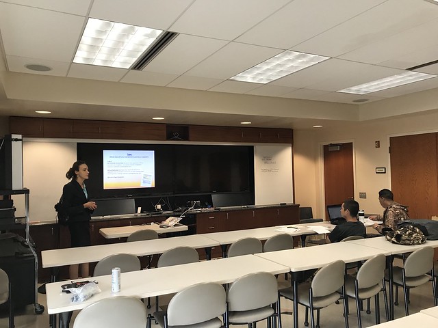
On June 26 and 27, our team took a tour to Oahu and Maui to hold workshops with various partners and map current and desired vegetation management activities. Activities could include any vegetation reduction or conversion projects such as roadside mowing, fuelbreaks, grazing rotations, clearing around structures or power poles, brush abatement or thinning, tree trimming, loi restoration, agriculture, and native forest restoration.

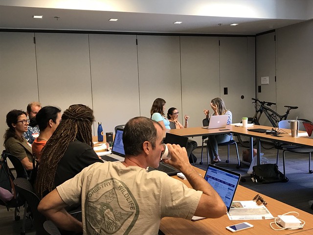
The Oahu workshop took place at the University of Hawaii at Manoa campus in a high-tech room fit for a mapping workshop. Koolau Mountains Watershed Partnership and other Koolau Mountains stewards joined us for the workshop. The following day, we held two workshops, one in the morning and one in the afternoon, with land managers on Maui. We had help from our friends from Leeward Haleakala Watershed Partnership, West Maui Mountains Watershed Partnership, Maui Conservation Alliance, and Maui Cattlemen’s Association for getting the word out about the workshops. Big mahalo to them!

Oahu and Maui Vegetative Fuels Management Mapping Tour

Waianae Mountains Watershed Partnership Meeting Presentation

View of the wildland-urban interface of West Oahu from atop Palehua.

View of the wildland-urban interface of West Oahu from atop Palehua.

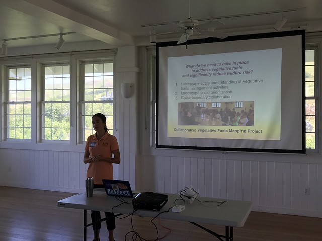
HWMO’s Community Outreach Coordinator, Pablo Beimler, met with Waianae Mountains Watershed Partnership on June 26 in Palehua on the leeward slopes of the Waianae Mountains in West Oahu. Pablo presented and introduced to the group the vegetative fuels management mapping project HWMO was coordinating to improve landscape-level prioritization, collaboration, and funding capabilities of fuels management. HWMO will be working with the partnership to hold a workshop in the coming months to gather data for the project.

Banner photo: Conservation managers, members of the Waianae Mountains Watershed Partnership, assess damages to the native forest preserve areas after the Nanakuli Fire in 2016. Photo credit: Dr. Clay Trauernicht, UH CTAHR Cooperative Extension

Waimea Vegetative Fuels Management Mapping Workshop

We are so grateful to have partners like these!

We are so grateful to have partners like these!

Mappers hard at work at the workshop.

Mappers hard at work at the workshop.

As a hub of wildfire protection efforts across the Hawaiian Islands, we are always looking for ways to bring people together to solve some of our most complex wicked problems. The Hawaiian Islands have been struggling with invasive species spread for decades, but now we are seeing what happens when invasive flammable plants take over the landscape and allow fires to spread more quickly and over larger areas. By controlling or managing flammable vegetation at the landscape-level, we can make great strides towards reducing the wildfire risk on our islands.

That’s why HWMO is coordinating a statewide vegetative fuels management mapping project — a rapid assessment to understand the vegetation management needs and priorities of landowners and land managers throughout the Hawaiian Islands. DLNR Division of Forestry and Wildlife and University of Hawaii CTAHR Cooperative Extension are key partners in the effort.

The vision for the project is that the resulting maps will lead to 1) better prioritization and communication of vegetative fuels management on the landscape-scale and 2) enhance project coordination between organizations and funding opportunities.

On June 19, we linked up with South Kohala Coastal Partnership for a workshop to map current and desired vegetation management activities in the South Kohala region as part of our larger statewide assessment. Activities could include any vegetation reduction or conversion projects such as roadside mowing, fuelbreaks, grazing rotations, clearing around structures or power poles, brush abatement or thinning, tree trimming, loi restoration, agriculture, and native forest restoration. The workshop took place at the homey Anna Ranch and brought together many familiar faces all working to make South Kohala a restored, healthy, abundant, and resilient place, especially in the face of growing wildfire challenges.

Waimea Vegetative Fuels Management Mapping Workshop 6/19/18

Kauai Watershed Alliance Presentation

Flammable fuels on Kauai.

Flammable fuels on Kauai.

On April 12th in Lihue on Kauai, Pablo Akira Beimler, HWMO’s Community Outreach Coordinator, gave a presentation to the Kauai Watershed Alliance. The KWA is a multi-partner alliance that encompasses 144,004 acres of Kauai’s uppermost watershed areas, where there are rich remnants of native forest important to the health of the Garden Island. Pablo introduced the group to an important effort that HWMO was working on and invited KWA members to be a part of the effort. What’s the effort? We are conducting a statewide rapid assessment to better understand the vegetation management needs and priorities of landowners and land managers. This will help all of us plan, coordinate, and implement effective fuels management projects at the landscape-level, rather than in a piece-meal fashion.

Collaborative Vegetation Management Mapping Workshop 1 - Mauna Kea Partners

Mauna Kea partners were busy at work mapping fuels management projects on Google MyMaps.

Mauna Kea partners were busy at work mapping fuels management projects on Google MyMaps.

Across the state, there are many vegetation management projects that are helping to reduce the fire threat around natural/cultural resources and near communities. However, there currently isn’t a way to track all of these projects and the desired areas for future management of flammable vegetation. Stemming from an idea communicated to us from an HWMO Technical Advisor and US Fish and Wildlife partner, Dawn Bruns, we have received US Forest Service funding to create a statewide database and map of vegetation management projects. 

Meeting participants worked in groups to map their fuels management projects.

Meeting participants worked in groups to map their fuels management projects.

We held our first workshop with our partners from the Mauna Kea Watershed Alliance (MKWA) and Three Mountains Alliance (TMA) on January 30 at the Hawaii Innovation Center in Hilo. Elizabeth Pickett, HWMO Executive Director, started the workshop off with an introduction to the project, emphasizing how important this project will be for future collaborative fuels management projects. Dr. Clay Trauernicht, Wildfire Extension Specialist of University of Hawaiii CTAHR Cooperative Extension and Co-Coordinator of the Pacific Fire Exchange, gave a brief course on fire science and pre-fire planning and management. Pablo Akira Beimler, HWMO Community Outreach Coordinator, followed with a training on Google MyMaps, which was the main platform we used to collect data from meeting participants. 

Cheyenne Perry, Coordinator of Mauna Kea Watershed Alliance, points out areas where he hopes there can be collaborative vegetation management projects on Mauna Kea.

Cheyenne Perry, Coordinator of Mauna Kea Watershed Alliance, points out areas where he hopes there can be collaborative vegetation management projects on Mauna Kea.

For the rest of the workshop, meeting participants began mapping their current and desired vegetation management projects on Google MyMaps. Once the projects were mapped, we projected the new data onto a screen and had the groups share about their work areas and what they envision for a more fire-safe Mauna Kea. 

HWMO will be spending the rest of the summer holding workshops across the islands. If you would like to participate, please contact admin@hawaiiwildfire.org. 

Special mahalo to MKWA Coordinator, Cheyenne Perry, and TMA Coordinator, Colleen Cole, for being our first workshop partners. Mahalo also to Mauna Kea Forest Restoration Project and U.S. Army-Garrison for joining our workshop and being our workshop “guinea pigs”!

Collaborative Vegetation Management Mapping Workshop in Hilo with MKWA and TMA 1/30/2018