0
items
$0


Sea Country Firewise Hazard Assessment

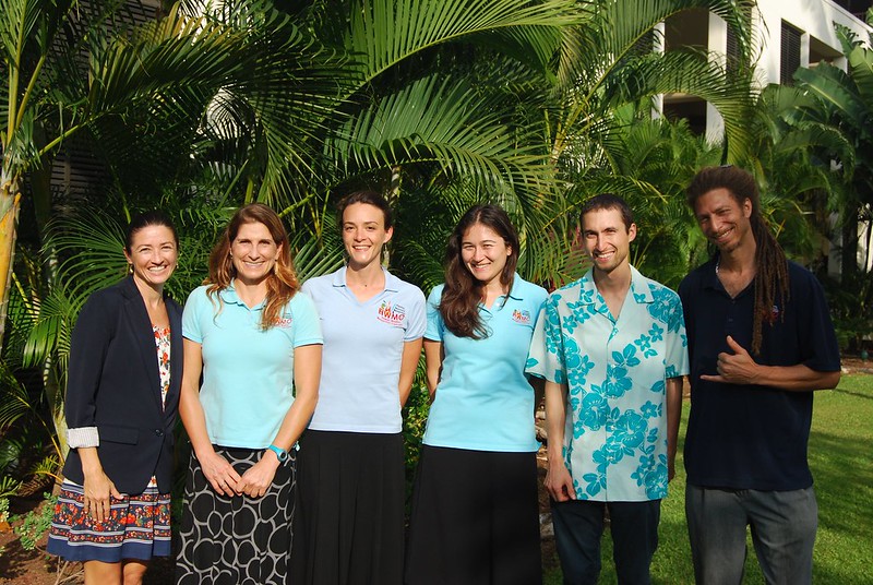
The assessment team.
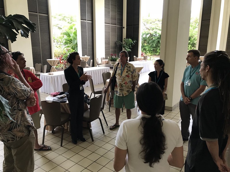
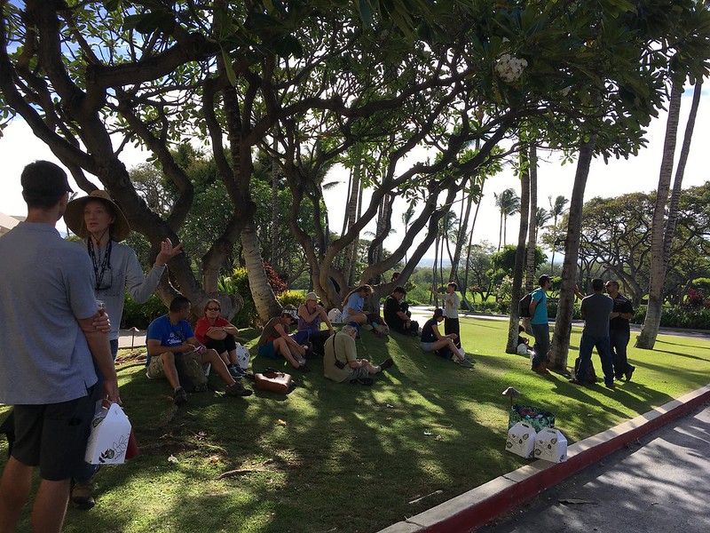
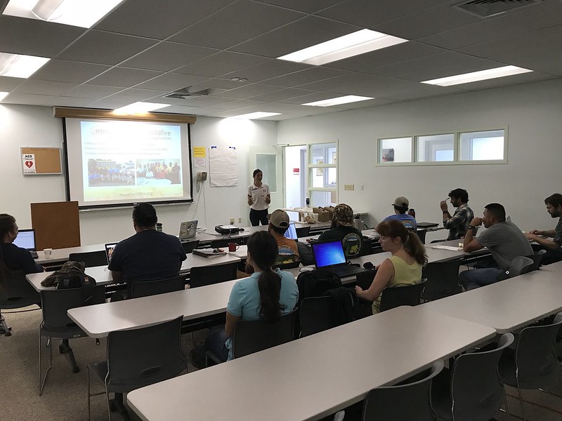
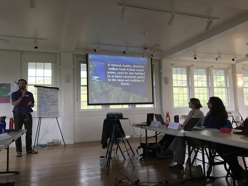
On June 1, 2018, HWMO met with representatives from DLNR Division of Forestry and Wildlife, Honolulu Fire Department, Sea Country Community Association, and Waianae Coast Disaster Readiness Team, along with residents from Sea Country to conduct a Firewise Community Hazard Assessment of the Sea Country subdivision in Maili in West Oahu. Together, the group caravanned to several areas in the community to gain a vantage point of the intersection between wildland and urban areas. Along with these priority areas, the team also visited several representative homes to conduct a “Home Ignition Zone” assessment to better comprehend the wildfire hazards at the individual lot level and identify locally-relevant examples of best practices for creating defensible space and fire-proofing structures.
The community of Sea Country is at a high risk for wildfires due to its high winds, history of nearby human-caused ignitions, location on the wildland-urban interface, and prevalence of fire-prone vegetation. By conducting the assessment, Sea Country will be one step closer to becoming a Firewise Community.