HWMO Blog — Hawaii Wildfire Management Organization

dryland forest

New Year's Firewise Communities Potluck and RSG! Workshop

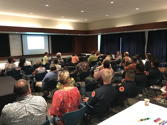
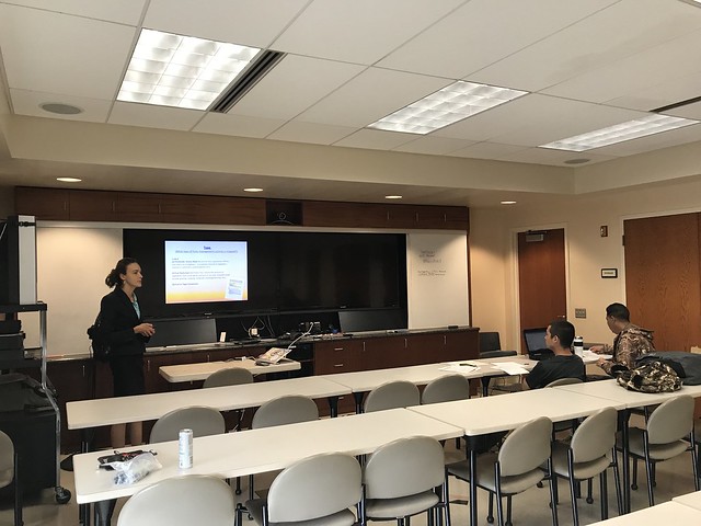
Community bonding is an important part of the wildfire solution. HWMO gathered Firewise Community members from a variety of different communities on Hawaii Island for a night of fun and learning on January 15 at Tutu’s House in Waimea. Along with an in-depth Ready, Set, Go! wildfire preparedness presentation, community members also mingled to meet each other and share about community successes and struggles dealing with wildfire. As an ice-breaker, we had a jan-ken-pon (rock, paper, scissors) tournament where community members faced off in one-game elimination matches. The winner was Diane Makaala Kanealii from Kailapa who then faced the winner of the Hawaii Fire Department tourney — and she beat them, too! The catch — each time a winner beat their opponent, that opponent had to join all following matches as a “fan” of that winner. By the end, the winner collects everyone as a fan for them, cheering and rooting them on. Mahalo The Nature Conservancy in Waimea for teaching us this fun spin on a classic!

Did we mention the super delicious make-your-own-taco bar! Thank you to everyone who contributed to the meal and came out to Tutu’s House.


Oahu Vegetative Fuels Management Mapping Meeting with Dupont Pioneer

View of the North Shore from Dupont Pioneer in Waialua.

View of the North Shore from Dupont Pioneer in Waialua.

As a hub of wildfire protection efforts across the Hawaiian Islands, we are always looking for ways to bring people together to solve some of our most complex wicked problems. The Hawaiian Islands have been struggling with invasive species spread for decades, but now we are seeing what happens when invasive flammable plants take over the landscape and allow fires to spread more quickly and over larger areas. By controlling or managing flammable vegetation at the landscape-level, we can make great strides towards reducing the wildfire risk on our islands.

That’s why HWMO is coordinating a statewide vegetative fuels management mapping project — a rapid assessment to understand the vegetation management needs and priorities of landowners and land managers throughout the Hawaiian Islands. DLNR Division of Forestry and Wildlife and University of Hawaii CTAHR Cooperative Extension are key partners in the effort.

The vision for the project is that the resulting maps will lead to 1) better prioritization and communication of vegetative fuels management on the landscape-scale and 2) enhance project coordination between organizations and funding opportunities.

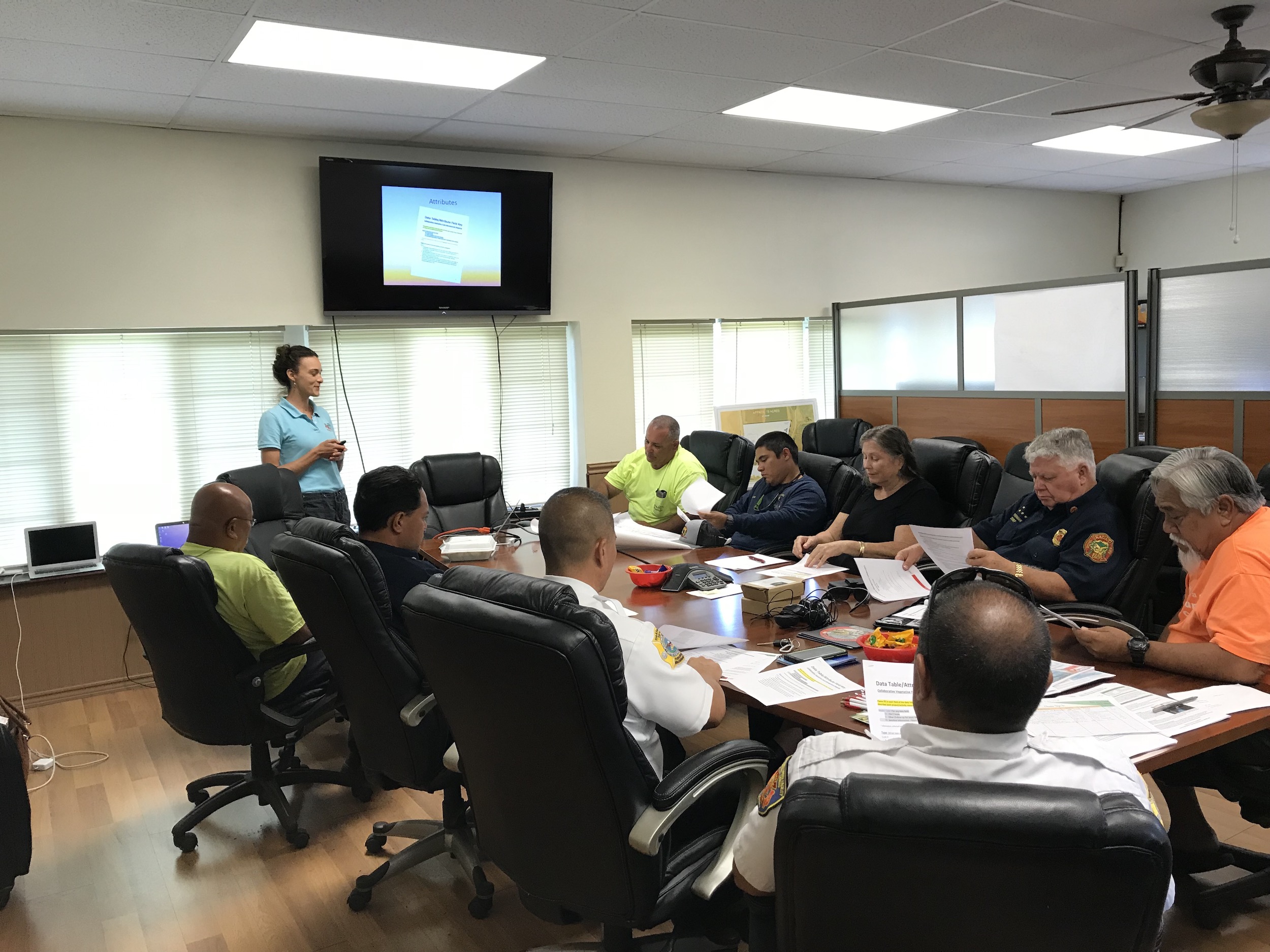
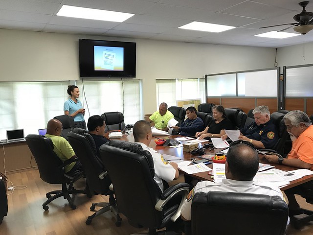
On December 14, we visited Dupont Pioneer in Waialua to map current and desired vegetation management activities. Activities could include any vegetation reduction or conversion projects such as roadside mowing, fuelbreaks, grazing rotations, clearing around structures or power poles, brush abatement or thinning, tree trimming, loi restoration, agriculture, and native forest restoration.

Kauai Vegetative Fuels Management Mapping Meetings

Prevent wildfires Smokey Bear sign in Waimea Canyon.

Prevent wildfires Smokey Bear sign in Waimea Canyon.

As a hub of wildfire protection efforts across the Hawaiian Islands, we are always looking for ways to bring people together to solve some of our most complex wicked problems. The Hawaiian Islands have been struggling with invasive species spread for decades, but now we are seeing what happens when invasive flammable plants take over the landscape and allow fires to spread more quickly and over larger areas. By controlling or managing flammable vegetation at the landscape-level, we can make great strides towards reducing the wildfire risk on our islands.

That’s why HWMO is coordinating a statewide vegetative fuels management mapping project — a rapid assessment to understand the vegetation management needs and priorities of landowners and land managers throughout the Hawaiian Islands. DLNR Division of Forestry and Wildlife and University of Hawaii CTAHR Cooperative Extension are key partners in the effort.

The vision for the project is that the resulting maps will lead to 1) better prioritization and communication of vegetative fuels management on the landscape-scale and 2) enhance project coordination between organizations and funding opportunities.

On November 20, we linked up with DOFAW and Grove Farm on Kauai for meetings to map current and desired vegetation management activities. Activities could include any vegetation reduction or conversion projects such as roadside mowing, fuelbreaks, grazing rotations, clearing around structures or power poles, brush abatement or thinning, tree trimming, loi restoration, agriculture, and native forest restoration.

Oahu Vegetative Fuels Management Mapping Meetings

Overgrown flammable vegetation along roadsides in Makaha.

Overgrown flammable vegetation along roadsides in Makaha.

As a hub of wildfire protection efforts across the Hawaiian Islands, we are always looking for ways to bring people together to solve some of our most complex wicked problems. The Hawaiian Islands have been struggling with invasive species spread for decades, but now we are seeing what happens when invasive flammable plants take over the landscape and allow fires to spread more quickly and over larger areas. By controlling or managing flammable vegetation at the landscape-level, we can make great strides towards reducing the wildfire risk on our islands.

That’s why HWMO is coordinating a statewide vegetative fuels management mapping project — a rapid assessment to understand the vegetation management needs and priorities of landowners and land managers throughout the Hawaiian Islands. DLNR Division of Forestry and Wildlife and University of Hawaii CTAHR Cooperative Extension are key partners in the effort.

The vision for the project is that the resulting maps will lead to 1) better prioritization and communication of vegetative fuels management on the landscape-scale and 2) enhance project coordination between organizations and funding opportunities.

On October 18 and 19, Pablo Akira Beimler and Lele Kimball traveled to Oahu to meet with a variety of different large landowners to map current and desired vegetation management activities occurring on Oahu and Kauai. Activities could include any vegetation reduction or conversion projects such as roadside mowing, fuelbreaks, grazing rotations, clearing around structures or power poles, brush abatement or thinning, tree trimming, loi restoration, agriculture, and native forest restoration. Mahalo to State Parks, Olson Trust, Agriculture Development Corp., DHHL, Honolulu County Facilities Maintenance, and Dillingham Ranch for taking time to meet with us for this very important project!

Maui Vegetative Fuels Management Collaborative Action Planning Workshop

Full house for the workshop!

Full house for the workshop!

As a hub of wildfire protection efforts across the Hawaiian Islands, we are always looking for ways to bring people together to solve some of our most complex wicked problems. The Hawaiian Islands have been struggling with invasive species spread for decades, but now we are seeing what happens when invasive flammable plants take over the landscape and allow fires to spread more quickly and over larger areas. By controlling or managing flammable vegetation at the landscape-level, we can make great strides towards reducing the wildfire risk on our islands.

That’s why HWMO is coordinating a statewide vegetative fuels management mapping project — a rapid assessment to understand the vegetation management needs and priorities of landowners and land managers throughout the Hawaiian Islands. DLNR Division of Forestry and Wildlife and University of Hawaii CTAHR Cooperative Extension are key partners in the effort.

The vision for the project is that the resulting maps will lead to 1) better prioritization and communication of vegetative fuels management on the landscape-scale and 2) enhance project coordination between organizations and funding opportunities.

Marking areas of importance to protect from wildfires.

Marking areas of importance to protect from wildfires.

Discussing collaborative project ideas.

Discussing collaborative project ideas.

As part of the next phase of our groundbreaking project, we held a collaborative action planning workshop at the Maui Arts and Culture Center in Kahului. Nearly 50 participants representing a wide variety of fields and backgrounds came together to discuss what future landscape-level vegetation management projects could be on the horizon. During breakout group sessions, teams of people circulated to different tables to highlight key areas for protection, helping inform us on the top priority areas for the last part of the workshop: outlining actual project ideas. Additionally, and possibly more importantly, many people were able to meet new faces, share ideas, and became new work partners. HWMO truly is a hub!

Maui Vegetative Fuels Management Collaborative Action Planning Meeting 9/27/18

Kauai Vegetative Fuels Management Mapping Workshop with KAA

Mapping with KAA members, Navy, and Kauai Fire Department on the west side of Kauai.

Mapping with KAA members, Navy, and Kauai Fire Department on the west side of Kauai.

As a hub of wildfire protection efforts across the Hawaiian Islands, we are always looking for ways to bring people together to solve some of our most complex wicked problems. The Hawaiian Islands have been struggling with invasive species spread for decades, but now we are seeing what happens when invasive flammable plants take over the landscape and allow fires to spread more quickly and over larger areas. By controlling or managing flammable vegetation at the landscape-level, we can make great strides towards reducing the wildfire risk on our islands.

That’s why HWMO is coordinating a statewide vegetative fuels management mapping project — a rapid assessment to understand the vegetation management needs and priorities of landowners and land managers throughout the Hawaiian Islands. DLNR Division of Forestry and Wildlife and University of Hawaii CTAHR Cooperative Extension are key partners in the effort.

The vision for the project is that the resulting maps will lead to 1) better prioritization and communication of vegetative fuels management on the landscape-scale and 2) enhance project coordination between organizations and funding opportunities.

On September 26, we partnered with Kekaha Agriculture Association for a workshop to map current and desired vegetation management activities in Kekaha on the west side of Kauai (where most of the island’s most devastating wildfires have occurred). Activities could include any vegetation reduction or conversion projects such as roadside mowing, fuelbreaks, grazing rotations, clearing around structures or power poles, brush abatement or thinning, tree trimming, loi restoration, agriculture, and native forest restoration. Mahalo KAA for hosting the workshop and for participating in this critical project!

Kauai KAA Vegetative Fuels Management Mapping Workshop 9/26/18

Oahu Vegetative Fuels Management Mapping Workshops with DOFAW and WMWP

Mapping in action!

Mapping in action!

As a hub of wildfire protection efforts across the Hawaiian Islands, we are always looking for ways to bring people together to solve some of our most complex wicked problems. The Hawaiian Islands have been struggling with invasive species spread for decades, but now we are seeing what happens when invasive flammable plants take over the landscape and allow fires to spread more quickly and over larger areas. By controlling or managing flammable vegetation at the landscape-level, we can make great strides towards reducing the wildfire risk on our islands.

That’s why HWMO is coordinating a statewide vegetative fuels management mapping project — a rapid assessment to understand the vegetation management needs and priorities of landowners and land managers throughout the Hawaiian Islands. DLNR Division of Forestry and Wildlife and University of Hawaii CTAHR Cooperative Extension are key partners in the effort.

The vision for the project is that the resulting maps will lead to 1) better prioritization and communication of vegetative fuels management on the landscape-scale and 2) enhance project coordination between organizations and funding opportunities.

On September 25, we joined up with DOFAW and Waianae Mountains Watershed Partnership (WMWP) for back-to-back workshops to map current and desired vegetation management activities on Oahu. Activities could include any vegetation reduction or conversion projects such as roadside mowing, fuelbreaks, grazing rotations, clearing around structures or power poles, brush abatement or thinning, tree trimming, loi restoration, agriculture, and native forest restoration. The workshop took place at the DOFAW Makiki office at the foot of the beautiful Makiki Valley.

Oahu DLNR and WMWP Vegetative Fuels Management Mapping Worshops 9/25/18

Hilo Vegetative Fuels Management Mapping Workshop with DOFAW

Mapping with DOFAW representatives in Hilo.

Mapping with DOFAW representatives in Hilo.

As a hub of wildfire protection efforts across the Hawaiian Islands, we are always looking for ways to bring people together to solve some of our most complex wicked problems. The Hawaiian Islands have been struggling with invasive species spread for decades, but now we are seeing what happens when invasive flammable plants take over the landscape and allow fires to spread more quickly and over larger areas. By controlling or managing flammable vegetation at the landscape-level, we can make great strides towards reducing the wildfire risk on our islands.

That’s why HWMO is coordinating a statewide vegetative fuels management mapping project — a rapid assessment to understand the vegetation management needs and priorities of landowners and land managers throughout the Hawaiian Islands. DLNR Division of Forestry and Wildlife (DOFAW) and University of Hawaii CTAHR Cooperative Extension are key partners in the effort.

The vision for the project is that the resulting maps will lead to 1) better prioritization and communication of vegetative fuels management on the landscape-scale and 2) enhance project coordination between organizations and funding opportunities.

On September 18, we linked up with DOFAW for a workshop in Hilo to map current and desired vegetation management activities. Activities could include any vegetation reduction or conversion projects such as roadside mowing, fuelbreaks, grazing rotations, clearing around structures or power poles, brush abatement or thinning, tree trimming, loi restoration, agriculture, and native forest restoration.

Hilo Vegetative Fuels Management Mapping Workshop with DOFAW 9/18/18

Maui Vegetative Fuels Management Mapping Meetings and LHWRP Workshop

Mapping with Lance De Silva of DOFAW.

Mapping with Lance De Silva of DOFAW.

As a hub of wildfire protection efforts across the Hawaiian Islands, we are always looking for ways to bring people together to solve some of our most complex wicked problems. The Hawaiian Islands have been struggling with invasive species spread for decades, but now we are seeing what happens when invasive flammable plants take over the landscape and allow fires to spread more quickly and over larger areas. By controlling or managing flammable vegetation at the landscape-level, we can make great strides towards reducing the wildfire risk on our islands.

That’s why HWMO is coordinating a statewide vegetative fuels management mapping project — a rapid assessment to understand the vegetation management needs and priorities of landowners and land managers throughout the Hawaiian Islands. DLNR Division of Forestry and Wildlife and University of Hawaii CTAHR Cooperative Extension are key partners in the effort.

The vision for the project is that the resulting maps will lead to 1) better prioritization and communication of vegetative fuels management on the landscape-scale and 2) enhance project coordination between organizations and funding opportunities.

Mapping at the LHWRP office with members of the ranching community on Maui.

Mapping at the LHWRP office with members of the ranching community on Maui.

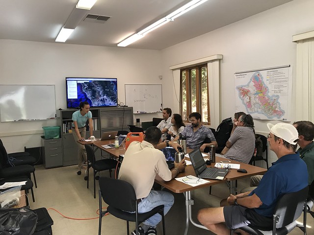
On June 16 and 17, we had a series of meetings with DOFAW, Alexander & Baldwin, Hana Ranch, and DHHL to map current and desired vegetation management activities in Maui Nui. Activities could include any vegetation reduction or conversion projects such as roadside mowing, fuelbreaks, grazing rotations, clearing around structures or power poles, brush abatement or thinning, tree trimming, loi restoration, agriculture, and native forest restoration. On June 18, we held a workshop in conjunction with Leeward Haleakala Watershed Partnership to gather more data, especially in regards to restoration efforts and grazing areas.

Ocean Warriors Wildfire Education at Puako

It’s all about making learning fun!

It’s all about making learning fun!

HWMO once again teamed up with Malama Kai Foundation’s Ocean Warriors program to educate middle school students about wildfire issues and solutions. The Ocean Warriors program is a youth environmental engagement and empowerment program that has kids become directly involved in projects, be a part of bigger solutions, raise money toward open space protection, and save vulnerable wild spaces, including those vulnerable to wildfire.

At Paniau Beach in Puako, the kids learned from HWMO staff (Elizabeth, Tom, Orlando, Melissa) the importance of preventing wildfire in order to protect the entire watershed from summit to sea.

Powered by Squarespace